
Compact Geographic Districts
Why Regular Shapes Still Matter When Place Is What Government Serves

The Simplest Reform Is Still Worth Defending
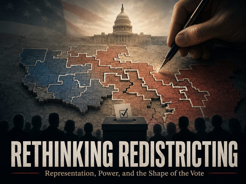
Compact geographic districts are not a complete answer to every representational problem, but they remain one of the most important safeguards against obvious manipulation. When district lines are regular, understandable, and tied to recognizable places, it becomes harder for political actors to hide what they are doing. A voter can look at the map and understand the basic logic. The city is mostly kept with the city. The rural region is mostly kept with the rural region. Suburbs are grouped with similar suburbs. Counties, municipalities, neighborhoods, and local economic regions are preserved when possible. The district begins to look less like a partisan machine and more like a real place.
That matters because representation is partly relational. A representative is not merely a person who receives votes from a mathematically equal population. A representative should understand the district’s roads, industries, employers, schools, churches, farms, factories, housing pressures, infrastructure failures, and local culture. The more distorted a district becomes, the harder it is to believe that the representative is speaking for a coherent community. A district shaped like a long political hook may satisfy a legal formula, but it often fails the plain test of common sense. People can usually tell when a district looks like it was drawn for residents and when it looks like it was drawn around voters.
Compactness does not guarantee justice. A compact district can still trap a minority inside a majority that never listens to it. A regular-looking district can still be unfair if the communities inside it are badly grouped. But compactness makes manipulation harder, more visible, and more difficult to justify. It forces the mapmaker to begin with place before strategy. That alone makes it valuable.
Place Is Not an Abstraction
The strongest case for compact geographic districts begins with a basic truth: people live in places, and those places shape their needs. Geography is not merely scenery. It affects roads, bridges, emergency response, school boundaries, water systems, business patterns, housing costs, transportation, policing, production, agriculture, zoning, and access to services. A representative who does not understand the place may misunderstand the people who live there.
A rural district has different governing realities than a dense urban district. Distance matters. Road maintenance matters. Fuel costs matter. Land use matters. Farming, forestry, water rights, property regulations, broadband access, local schools, volunteer fire services, small-town hospitals, and county law enforcement all become part of daily life. A representative who depends on a distant urban voting bloc may speak politely about those issues, but the district’s power structure may not require serious obedience to them.
Urban districts have their own place-based realities. Density changes everything. Transit, zoning, crime, homelessness, sanitation, housing supply, school crowding, public health, small business regulation, apartment development, street safety, and public service coordination become central concerns. A city should not be treated merely as a bucket of votes to be poured into surrounding districts. It is a real place with its own infrastructure, culture, pressure points, and governing problems. Compact districts help preserve that reality.
Compactness Protects Communities From Being Converted Into Ingredients
One of the great dangers of gerrymandering is that communities stop being treated as communities. They become ingredients in a political recipe. A city neighborhood may be attached to a rural county because its voters are useful. A farming region may be split because its voters are too concentrated. A suburb may be divided because one half is useful to one district and the other half is useful to another. The people remain where they are, but their political meaning is rearranged around someone else’s plan.
Compact geographic districts resist that process by making the first question spatially honest. Which places naturally belong together? Which municipalities share infrastructure? Which counties are tied by roads, commerce, schools, commuting patterns, water systems, production, or culture? Which neighborhoods share the same public problems? Which rural regions have similar economies? These questions do not remove politics, but they force the mapmaker to look at the life of the area before looking at the advantage of the party.
When a district is compact, voters are more likely to see themselves as part of an understandable constituency. They can identify the region. They can know where the district begins and ends. They can recognize why certain towns, neighborhoods, or counties were grouped together. That recognition matters because representation is not only legal. It is also practical. People are more likely to hold representatives accountable when the district itself has a clear identity.
Regular Shapes Make Manipulation Easier to Detect
A distorted district does not automatically prove abuse, but it raises the burden of explanation. Natural geography, legal requirements, tribal boundaries, rivers, mountains, coastlines, transportation corridors, and municipal lines can create irregular shapes. But when a district twists through narrow strips, reaches into unrelated communities, or splits obvious regions without a clear reason, the map itself becomes evidence. The public can see that something other than local coherence may be driving the design.
Compact districts reduce the hiding places. If a district must remain reasonably regular, then political actors cannot as easily use thin corridors, city fragments, or rural attachments to engineer outcomes. The more a map must respect physical coherence, the harder it becomes to produce a predetermined partisan result. This is not because compactness eliminates strategy. It is because compactness limits the tools available to the strategist.
Regular shapes also improve public understanding. A voter should not need a legal team, a GIS specialist, and a partisan analyst to understand the district. If the map is so strange that ordinary people cannot explain why their neighborhood belongs with a distant area, the system has already damaged trust. Compactness does not require every district to be a perfect square or circle. It requires boundaries that can be explained by real geography, real communities, and real governing needs.
Cities Should Not Be Cracked Without a Strong Reason
A compact geographic approach does not require every city to be placed into one district. Large cities may contain enough people for several districts. Different neighborhoods inside a city may have distinct needs, cultures, economic conditions, and local problems. But splitting a city should follow the city’s own internal logic, not an external political goal. Neighborhoods, school areas, transit corridors, business districts, housing patterns, and municipal service zones may justify internal districts. Thin slices reaching outward into distant rural areas usually require much more suspicion.
When a city is cracked into outward spokes, the city itself is weakened as a coherent political community. Its voters are used to reshape districts beyond the city. Its internal problems may be divided among representatives who are not fully accountable to the city as a whole. A compact model would first ask how the city functions as a place. Where is the dense core? Where are the neighborhoods? Where are the natural internal divisions? Where do people commute, shop, work, attend school, and receive services? That is different from asking how many city voters are needed to shift nearby rural districts.
Keeping urban areas together also protects the surrounding areas. When the city is not treated as a reservoir of votes to be exported, rural and suburban districts can be drawn more naturally. The city receives representation suited to urban realities. The countryside receives representation suited to rural realities. Suburbs can be grouped according to their own character instead of being used as padding between political targets. The result is not perfect, but it is more honest.
Rural Areas Should Not Be Treated as Empty Space
Rural districts often look large on a map because rural populations are spread across more land. That visual size can mislead people into thinking rural voters already have too much influence. But land area is not the same as political power. A district may cover vast rural territory while still being controlled by a dense urban attachment. A compact geographic system should recognize that rural areas are not empty space waiting to be combined with city fragments. They are communities with economies, cultures, and governing needs.
Rural coherence matters because many rural issues cross town and county lines. Agricultural regions may share water systems, markets, soil conditions, transportation routes, equipment suppliers, processing facilities, labor patterns, and land-use concerns. Timber regions, mining areas, ranching communities, small manufacturing towns, and energy-producing regions may each have distinct regulatory and economic needs. Splitting those communities can weaken their ability to send someone who understands them into government.
A compact rural district should not be designed only by population math. It should be designed around regional logic. Which towns depend on each other? Which roads connect them? Which industries anchor them? Which counties share courts, schools, hospitals, churches, emergency services, or media markets? Which local cultures actually recognize each other as part of the same region? These questions matter because rural voters are often not merely choosing a party. They are trying to protect a way of life that can be misunderstood by people who never live under its constraints.
Suburbs and Transitional Areas Need Honest Treatment Too
Suburbs are often politically and culturally mixed, which makes them tempting targets for manipulation. A mapmaker can attach suburbs to cities, rural districts, or each other depending on the desired outcome. But suburban areas also have real identities. Some suburbs are bedroom communities tied closely to a city. Some are independent economic centers. Some are working-class industrial suburbs. Some are affluent professional suburbs. Some are rapidly changing areas caught between urban density and rural land-use patterns. Treating them as filler is another way to distort representation.
A compact geographic model should handle suburbs according to their actual function. If a suburb is tightly connected to an urban core through commuting, transit, schools, employment, and shared infrastructure, grouping it with nearby urban areas may make sense. If a suburb functions as its own municipality with distinct local priorities, it should not automatically be swallowed by the city. If a suburban belt shares housing pressures, school concerns, traffic congestion, and tax issues, it may deserve coherent representation of its own.
This matters because many political fights are decided in suburban areas precisely because suburbs contain competing pressures. Families may want safety, schools, affordability, economic opportunity, and local control at the same time. Business owners may depend on city access while resisting city-style regulation. Workers may commute into urban centers while living under different municipal rules. Compact districts cannot eliminate those tensions, but they can keep the tensions grounded in real communities instead of using suburbs as adjustable political pieces.
The Main Weakness of Compact Districts
The main weakness of compact geographic districts is that geography does not always represent values. A district can be compact, locally coherent, and still contain voters whose governing principles are sharply opposed. A compact urban district may contain religious conservatives, secular progressives, libertarians, socialists, business owners, renters, parents, activists, police officers, and service workers with very different priorities. A compact rural district may contain farmers, retirees, small-town professionals, factory workers, homeschool families, union workers, and independents who do not share one political worldview.
This means compactness cannot solve the problem of ideological minority representation. If 60 percent of a compact district consistently votes one way, the remaining 40 percent may rarely have a representative who speaks for them. The district may be geographically honest but still politically frustrating. That is not a failure of compactness as a place-based tool. It is a reminder that place is not the only thing representation may need to capture.
This weakness becomes more important at higher levels of government. For local offices, geographic coherence often matters most because the office governs concrete place-based issues. For federal offices, where questions are more often about war, debt, constitutional limits, federal agencies, rights, and national direction, value alignment may matter more. Compact districts are strongest where government manages place. They are weaker where government governs principle.
Why Compact Districts Still Belong in the Framework
Compact geographic districts should not be dismissed simply because they are incomplete. A tool does not need to solve every problem to be valuable. Compactness protects against one of the most visible failures of redistricting: artificial manipulation of people through distorted boundaries. It helps preserve cities, rural regions, suburbs, counties, municipalities, and communities of interest. It gives voters a map they can understand. It gives representatives a district they can actually know.
The right conclusion is not that compact geographic districts should govern every office in every context. The better conclusion is that compactness should be treated as a baseline safeguard wherever geography is supposed to matter. Local government should rely heavily on it. State government should give it serious weight, especially when regional infrastructure, economy, culture, and municipal life are involved. Federal representation may require additional models, but even there, compactness can still prevent the worst forms of map abuse if geographic districts remain in use.
Regular shapes matter because they begin with reality. People live in places. Places have patterns. Those patterns deserve respect. Compact districts cannot guarantee meaningful representation for every voter, but they can stop the most obvious conversion of communities into political machinery. That is why compact geographic districts remain the first reform worth defending, even in a larger conversation about alternatives beyond the map.
About the Creator
Peter Thwing - Host of the FST Podcast
Peter unites intellect, wisdom, curiosity, and empathy —
Writing at the crossroads of faith, philosophy, and freedom —
Confronting confusion with clarity —
Guiding readers toward courage, conviction, and renewal —
With love, grace, and truth.
Enjoyed the story? Support the Creator.
Subscribe for free to receive all their stories in your feed.
Comments
There are no comments for this story
Be the first to respond and start the conversation.