
The Urban-Spoke Problem
How Cities Can Be Split Into Rural Districts Without Truly Representing Either

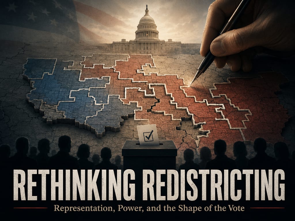
A Legal Map Can Still Be a Distorted Map
The most obvious redistricting abuses are easy to notice when the district lines look absurd. A district stretches across the map through a narrow corridor. A city is cut into pieces. A rural region is split again and again, with each piece attached to a different portion of the urban center. The final map may still satisfy the formal requirement of equal population, but the structure reveals the real purpose. The district was not designed around a coherent community. It was designed around an outcome.
The urban-spoke model is one of the clearest examples. Instead of allowing a city to form its own compact districts and allowing surrounding rural areas to form their own coherent districts, the city is divided into slices. Each slice reaches outward into a surrounding rural area, forming long narrow districts that resemble spokes on a wheel. The city becomes the hub. The surrounding rural areas become the outer extensions. On paper, every district may contain the required number of people. In practice, the map can convert rural voters into political passengers inside districts controlled by urban voting blocs.
This matters because the abuse is not always visible through population numbers alone. A district can be mathematically equal and still be representationally dishonest. Equal population tells how many people are inside the district. It does not tell whether the district has been built around shared interest, shared place, shared economy, or shared culture. When a city is split into multiple outward-reaching districts, the map may preserve the appearance of equality while weakening the ability of both urban and rural communities to be represented as themselves.
How the Spoke Model Works
The urban-spoke model begins with a dense population center. Because cities contain many voters in a small area, mapmakers can divide that population into pieces and attach each piece to a larger surrounding territory. Each district then receives enough urban voters to shift or control the outcome, while still including large rural areas that make the district appear geographically broad. The district may include farms, small towns, suburbs, industrial areas, and pieces of the city, but the controlling vote may come from the urban slice at the center.
The effect is especially powerful when the urban vote is politically different from the surrounding rural vote. If the city leans strongly one way and the rural region leans strongly another way, mapmakers can use the city as a source of votes to influence several districts at once. Instead of one or two city districts and several rural districts, the city is turned into a political reservoir. Its voters are spread outward just enough to reshape the surrounding districts. The rural areas remain visually large on the map, but their political voice is weakened.
This is why the map can look geographically impressive while being politically misleading. A rural voter may live in a district that covers mostly rural land, but the election may be decided by the attached urban population. That voter is technically inside a district. That voter technically has a representative. But the representative may owe the seat to a different community with different priorities, different pressures, different cultural assumptions, and different expectations of government. The rural region exists in the district, but it does not govern the district.
Rural Dilution Is Not Just Losing an Election
Rural voters can lose elections in any fair system. The issue is not that one side loses. The issue is whether the district structure prevents a coherent rural community from ever forming a meaningful representative voice. A rural district that loses because its own residents choose a representative one way is different from a rural area that loses because it has been repeatedly attached to pieces of a city. The first is democracy inside a coherent place. The second is political dilution through design.
Rural communities often have distinct governing needs. Agriculture, land use, water rights, forestry, transportation distance, road maintenance, small-town policing, emergency response, broadband access, fuel cost, local production, hunting, property use, schools, churches, and small businesses all shape rural life. A representative who depends primarily on urban voters may have little incentive to prioritize those concerns. The representative may campaign in the rural region, hold town halls, and speak respectfully about rural needs, but political survival depends on the district’s dominant voting bloc.
The damage is not merely partisan. It is representational. When rural voters are placed into districts where their practical concerns are structurally secondary, their voice becomes conditional. They may be heard only when their concerns do not conflict with the priorities of the urban voting bloc. They may be acknowledged but not obeyed. They may be included in speeches but excluded from power. That is not the same thing as meaningful representation.
The City Is Also Being Used
The urban-spoke model does not truly honor the city either. It may appear to benefit urban voters because it spreads their political influence outward, but it also divides the city into pieces. A city is not just a pile of votes. It is a real place with neighborhoods, infrastructure, schools, transit systems, housing pressures, business corridors, policing needs, zoning fights, and local cultures. When the city is sliced into fragments and attached to distant rural areas, the city’s own coherent representation can be weakened.
A dense urban community may need representatives focused on urban problems. Housing supply, homelessness, public transit, crime, sanitation, zoning, school density, business regulation, drug policy, public safety, and infrastructure strain are not small issues. A city divided into spokes may end up with multiple representatives who each hold only a piece of the city and a large amount of surrounding territory. Those representatives may not be fully accountable to the city as a whole. They may use the city’s voters while avoiding responsibility for the city’s full condition.
This is an important part of the critique. The problem is not simply that rural voters are harmed and urban voters win. The problem is that both are being treated as instruments. Rural communities are diluted. Urban communities are fragmented. The map is not designed to represent either community honestly. It is designed to produce political control by distributing voters in the most useful pattern. The city becomes a tool. The countryside becomes a container. Neither is respected as a complete community.
Thin Corridors Reveal the Wrong Starting Point
One of the clearest warning signs is the narrow connection corridor. A district may extend from a city neighborhood into a distant rural area through a thin strip of land, a highway path, a river edge, or an awkward chain of connected precincts. The formal defense may be that the district is contiguous. But contiguity alone is a weak standard if the connection is artificial. A district can be physically connected while having no real social, economic, cultural, or geographic coherence.
The question should not be merely whether two areas touch. The question should be why they are together. Do they share a local economy? Do people commute between them? Do they share infrastructure? Do they share schools, water systems, cultural identity, local media, production patterns, or regional interests? Or are they connected only because a thin strip allowed the mapmaker to attach one voting bloc to another? If the only meaningful connection is political advantage, the district is not a community. It is an engineered outcome.
This does not mean every oddly shaped district is automatically corrupt. Natural geography can create strange boundaries. Rivers, mountains, coastlines, tribal lands, city limits, transportation corridors, and legal requirements can all complicate district shapes. But when the strange shape repeatedly slices the same city and repeatedly attaches those slices to surrounding areas, the pattern matters. One awkward line may have an explanation. A full wheel of urban spokes reveals a strategy.
Equal Population Cannot Excuse Artificial Attachment
Equal population is often used as the shield for distorted maps. The claim is simple: every district has the same number of people, so the map is fair enough. But this confuses numerical equality with representational integrity. Equal population prevents one district from having far more voting power than another. It does not prevent mapmakers from arranging equal numbers in ways that manipulate political outcomes.
A district should not be judged only by how many people it contains. It should also be judged by whether the people were grouped honestly. A compact urban district may have a clear reason to exist. A compact rural district may have a clear reason to exist. A suburban district may have a clear reason to exist. A spoke district that begins in one city neighborhood, runs through a narrow connector, and then absorbs distant rural territory needs a much stronger defense. The burden should be on the mapmaker to explain why that grouping represents a real community rather than a political strategy.
The deeper problem is that population rules can be satisfied after the political decision has already been made. A mapmaker can decide the desired number of seats, identify the voting blocs needed to secure them, and then build districts that meet equal population requirements afterward. In that case, equality is not the purpose of the map. It is the legal condition the manipulation must pass through. The result may be technically compliant and still morally distorted.
What a Better Standard Would Ask
A better districting standard would ask several questions before accepting an urban-spoke map. First, does the district preserve real communities, or does it split them for political gain? Second, are urban voters being represented as part of a coherent city community, or are they being exported into surrounding districts? Third, are rural communities being kept intact enough to elect representatives who understand rural life? Fourth, do the district boundaries follow natural, municipal, economic, or cultural lines, or do they rely on thin artificial corridors?
The standard should also examine repetition. If one district reaches into the city, there may be a practical reason. If every surrounding district reaches into the city through narrow tips, the pattern becomes much harder to defend. A repeated structure often reveals the design principle. When the design principle is political vote distribution rather than representation, the map has failed the deeper test even if it passes the technical one.
This is where compactness, municipal preservation, county preservation, communities of interest, and anti-corridor rules matter. They cannot solve every problem, but they can make this kind of manipulation harder. If mapmakers must keep cities coherent, keep rural areas coherent, justify splits publicly, and avoid thin strips without real community connection, the urban-spoke model becomes harder to hide. The public can see whether the map begins with communities or with outcomes.
Why This Problem Leads to Alternative Models
The urban-spoke problem is important because it exposes the weakness of ordinary redistricting. Once politicians control the lines, they can often control the political composition of the districts. They do not need to change anyone’s vote. They only need to decide which voters are grouped together. A rural voter can remain in the same house, hold the same values, and vote the same way, yet lose meaningful representation because the district around that voter has been redrawn.
This is why alternative models deserve examination. Compact geographic districts would reduce manipulation by keeping places coherent. Epicenter districts would keep cities from being sliced into spokes by building outward from the urban core. Voter-selected districts would reduce the power of mapmakers by allowing citizens to choose constituencies. Ideological districts would make value representation explicit. Lottery districts would remove mapmaker control entirely. Hybrid systems would preserve geography where geography matters while allowing different forms of representation where land is a weak proxy.
The urban-spoke model is not just one bad map design. It is proof that the deeper issue is the political container itself. If the container is controlled by those who benefit from the outcome, representation can be distorted before the first vote is cast. A better system must make that harder. It must either protect real geography more honestly, allow voters more agency, or separate place-based representation from value-based representation. The point is not merely to draw prettier maps. The point is to stop using maps to disguise political control.
About the Creator
Peter Thwing - Host of the FST Podcast
Peter unites intellect, wisdom, curiosity, and empathy —
Writing at the crossroads of faith, philosophy, and freedom —
Confronting confusion with clarity —
Guiding readers toward courage, conviction, and renewal —
With love, grace, and truth.
Enjoyed the story? Support the Creator.
Subscribe for free to receive all their stories in your feed.
Comments
There are no comments for this story
Be the first to respond and start the conversation.