
The Problem Is Not Just Gerrymandering
Why Representation Cannot Be Reduced to Lines on a Map

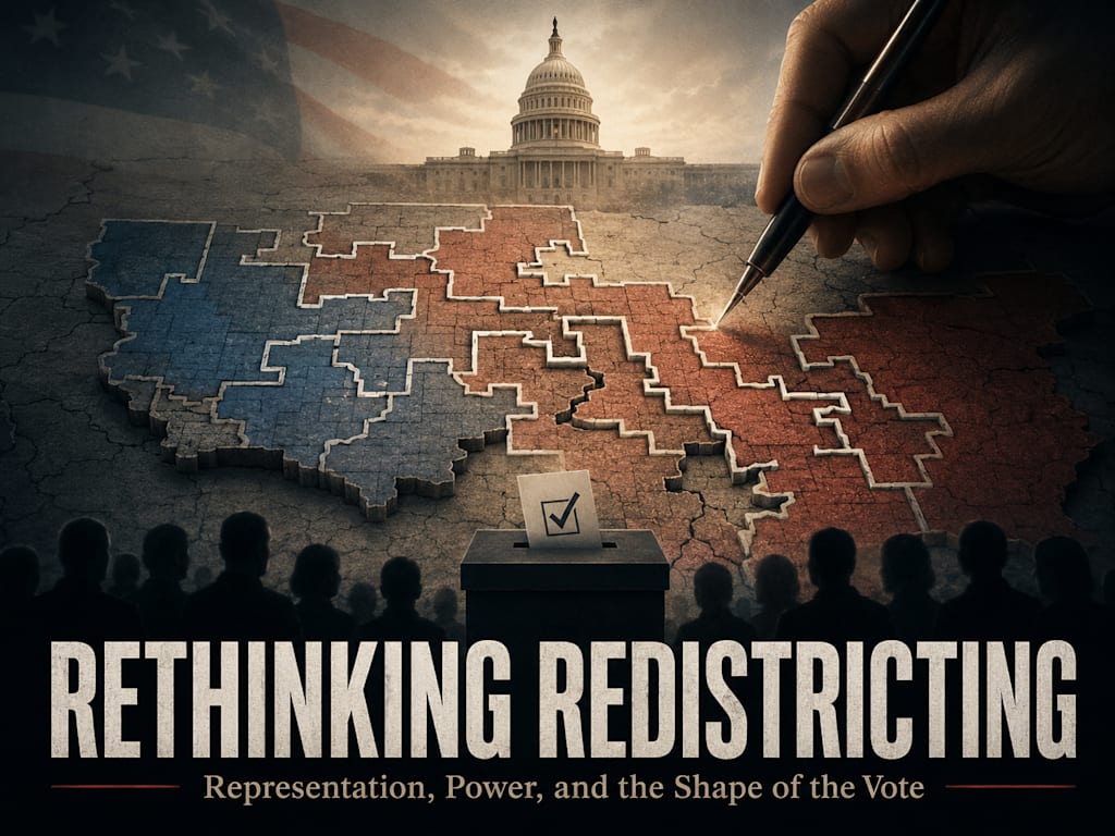
The Argument Begins in the Wrong Place
Most arguments about redistricting begin after the most important assumption has already been accepted. The public is usually invited to argue about whether a map is fair, whether a district is too stretched, whether a city has been divided too many times, whether one party gained an advantage, or whether a court should force the lines to be redrawn. Those questions matter, but they are not the deepest questions. They all assume that representation must begin with geography, and that the only real dispute is how the land should be divided.
That assumption deserves to be challenged. A district is not supposed to represent dirt, roads, rivers, or shapes on a screen. A district is supposed to represent people. Geography matters because people live in places, build cultures in places, work in places, worship in places, raise families in places, and depend on infrastructure in places. But geography is not representation itself. It is only one possible method of organizing representation. Once that distinction is understood, the redistricting debate changes. The question is no longer merely whether a map looks fair. The question becomes whether the system actually creates representatives who speak for the people placed inside those districts.
The ordinary redistricting debate often treats equal population as if it solves the moral problem. If every district contains roughly the same number of people, the map is assumed to be at least basically legitimate. But equal numbers do not guarantee meaningful representation. A district can be equal in population and still be politically artificial. It can be legal and still divide real communities. It can satisfy technical rules and still force people with completely different interests, values, economies, and ways of life into the same political container. The deeper problem is not only that politicians draw bad lines. The deeper problem is that the line itself is often treated as more important than the people it contains.
Equal Numbers Are Not the Same as Equal Voice
Population equality is necessary, but it is not sufficient. A representative system must care about whether each vote is counted, but it must also care about whether voters are meaningfully represented after the counting ends. If a district is split 50.01 percent to 49.99 percent, the winner legally represents the whole district. But morally and practically, nearly half of that district may be governed by someone who rejects their deepest priorities. That is not always avoidable, but it should not be treated as the ideal outcome by default.
A close district may look competitive, but competition is not the same thing as representation. A district can be competitive because it contains a healthy mixture of shared interests and real debate. It can also be competitive because it was built out of groups that do not belong together politically, culturally, or economically. In that case, the election becomes a recurring fight for control rather than a process of choosing someone who speaks for a coherent constituency. The representative wins office, but the district itself may never develop a stable identity.
This matters because representation is not merely the right to cast a ballot. Representation is the ability to send someone into government who can speak from the real interests of the people represented. A rural community needs someone who understands agriculture, land use, water, roads, production, distance, local culture, and the cost of regulations written by people who do not live that life. A dense urban neighborhood may need someone who understands transit, housing, policing, zoning, public services, poverty concentration, and the pressures of density. A working-class industrial region may need someone who understands factories, wages, trade, transportation, energy costs, and the fragility of local employment. Equal population alone cannot preserve those realities if the district lines ignore them.
The Map Can Hide the Manipulation
One of the reasons redistricting is so difficult to discuss honestly is that manipulation can be hidden inside technical compliance. A district can have the correct number of people. It can be contiguous. It can even be defended with official language about communities of interest. Yet the actual shape may still serve a partisan purpose. A city can be sliced into pieces, with each piece attached to surrounding rural areas. A rural region can be split apart so that it never has enough concentrated power to elect someone who speaks for it. Suburbs can be combined or separated depending on which result benefits the mapmaker.
This is why the visual shape of the district matters, but only as evidence of the deeper issue. Long narrow strips, strange corridors, broken cities, fractured counties, and districts that reach awkwardly into distant areas often reveal that the people were not the true starting point. The outcome was. The map was then built backward from that desired result. The voters were treated as raw material to be arranged into political containers.
That is the moral failure behind gerrymandering. It is not only that one party gains an advantage. It is that voters are placed into districts for the benefit of political actors rather than being represented according to coherent local, cultural, economic, or ideological interests. The people become ingredients. Their homes become coordinates. Their communities become pieces to be packed, cracked, stretched, merged, or diluted. Once the public accepts that the only question is whether the final map satisfies technical rules, the deeper violation becomes harder to name.
Geography Matters Most When Government Manages Place
None of this means geography is irrelevant. Geography becomes extremely important when the office being elected governs place. Local government is not an abstraction. A city council member, county commissioner, school board member, utility board member, sheriff, or local representative should understand the place being served. Roads, bridges, potholes, water systems, police response, zoning rules, school boundaries, factories, small businesses, farms, churches, neighborhoods, and local culture are not ideological abstractions. They are material realities tied to location.
At the local level, geographic representation is not merely traditional. It is functional. A representative who does not understand the area may miss the most important details. A bridge may be the economic lifeline between two parts of a county. A zoning decision may decide whether small businesses survive. A neglected road may change emergency response times. A school boundary may shape family life for decades. A factory closure may damage an entire town. These are not questions that can be answered only by asking whether someone is left, right, conservative, progressive, libertarian, populist, or moderate.
This is why any serious reform must distinguish between levels of government. The closer the office is to physical services, infrastructure, land use, schools, utilities, and municipal life, the more geography should matter. Local offices should generally preserve neighborhoods, municipalities, counties, service zones, business corridors, production regions, and real communities of place. Geographic districts become strongest when they are representing the actual life of a location.
Values Matter Most When Government Governs Principle
The argument changes as government becomes more national. Federal representatives vote on war, debt, taxes, federal agencies, immigration, speech, privacy, constitutional limits, national regulation, foreign policy, spending, and the proper scope of government itself. These issues are not tied to one bridge, one neighborhood, one county road, or one factory district in the same direct way. They are questions of governing philosophy.
On those questions, two voters who live hundreds of miles apart may share far more meaningful political alignment than two people who live across the street from each other. One person may believe federal power should be limited, speech should be protected broadly, war should be avoided, spending should be restrained, and local authority should be preserved. Another nearby voter may believe federal institutions should be more active, national standards should override local differences, speech should be managed more aggressively in certain contexts, and government should intervene more heavily in economic life. Those two voters may share geography but not governing principles.
This does not mean national districts must abandon geography entirely. It means geography is not always the best proxy for representation at the federal level. A congressional district drawn only by land may produce a representative who understands the region but does not represent the values of many people inside it. A different system might ask whether voters should be able to choose value-based constituencies, ranked district preferences, party-affinity districts, ideological districts, or some hybrid structure that represents both place and principle. The point is not that one answer solves everything. The point is that the current debate often refuses to ask the larger question.
A Fair Map Is Not Always a Representative System
A redistricting system can be cleaner than a gerrymandered map and still be incomplete. Compact districts are better than absurdly manipulated shapes. Preserving counties and municipalities is better than carving them into partisan fragments. Keeping rural areas coherent is better than attaching every rural district to a narrow urban strip. Keeping cities together is better than slicing them apart to export their votes. These reforms matter because they reduce obvious manipulation and respect real communities of place.
But even the best geographic map cannot represent every kind of human interest. Geography can preserve local culture, infrastructure needs, regional economies, and shared place-based experience. It cannot always preserve ideological alignment, moral priorities, governing philosophy, class interest, religious conviction, anti-war sentiment, constitutional principle, or distrust of centralized power. Some voters will still be placed into districts where they are permanent minorities. Some communities will still be governed by representatives who do not speak for their deepest concerns.
That reality does not make geographic districts useless. It means geographic districts are one tool, not the entire theory of representation. The strongest system may be layered. Local offices can remain geographic because they govern place. State offices can balance geography with culture, economy, and communities of interest. Federal offices can be reconsidered through additional models, including value-based districts, voter-selected districts, capped constituencies, ranked assignment, lottery districts, party-affinity districts, or hybrid chambers. Once this range of possibilities is visible, redistricting is no longer only a fight over maps. It becomes a debate over what representation is actually supposed to accomplish.
The Real Question Is What We Are Trying to Represent
The problem is not just gerrymandering. Gerrymandering is one symptom of a deeper confusion. The system often treats voters as if they are represented once they have been placed inside equal-population geographic containers. But representation should not be reduced to placement. A person can be counted and still not be meaningfully represented. A community can be included in a district and still have its voice diluted. A region can appear on a map and still be politically swallowed by people who do not share its needs, values, or way of life.
A better debate would begin with function. What does this office govern? If it governs potholes, bridges, zoning, schools, utilities, roads, factories, business corridors, and local services, then the district should be tied closely to place. If it governs war, debt, national law, constitutional limits, federal agencies, speech, privacy, and national direction, then values and governing philosophy may deserve more weight. Representation should match the thing being represented.
That is the foundation for every alternative that follows. The goal is not to replace one rigid system with another. The goal is to stop pretending that one map can represent every kind of human concern. Fair representation may require compact geographic districts in one context, urban epicenter districts in another, value-based constituencies in another, and hybrid systems where place and principle are represented separately. The question is not whether the lines look acceptable. The question is whether the people inside them are actually being represented.
About the Creator
Peter Thwing - Host of the FST Podcast
Peter unites intellect, wisdom, curiosity, and empathy —
Writing at the crossroads of faith, philosophy, and freedom —
Confronting confusion with clarity —
Guiding readers toward courage, conviction, and renewal —
With love, grace, and truth.
Enjoyed the story? Support the Creator.
Subscribe for free to receive all their stories in your feed.
Comments
There are no comments for this story
Be the first to respond and start the conversation.