
The 500 Year Old MAP That Could REWRITE Human History
The Mysterious Piri Reis Map: Evidence of Ancient Technological Civilizations?
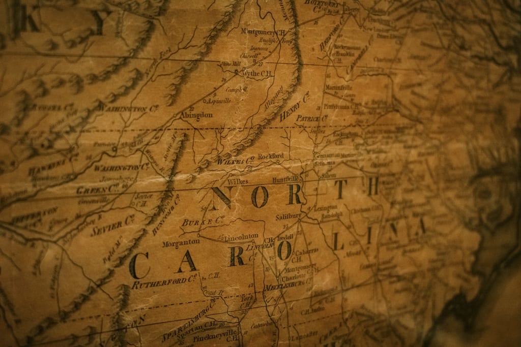
In the world of cartography and geography, the Piri Reis Map is considered one of the most intriguing and controversial maps in history. Drawn in the sixteenth century by Turkish cartographer Piri Reis, the map is known for its extraordinary level of detail and accuracy, particularly in regard to the coastlines of the Americas and Africa. However, it is the inclusion of an accurate depiction of Antarctica, a continent not officially discovered until the nineteenth century, that has sparked intense debate and controversy.
The discovery of the Piri Reis Map in 1929 caused a great deal of excitement and curiosity within the scientific community. The map, which was created by sixteenth-century Ottoman cartographer Piri Reis, is considered a remarkable achievement due to its highly accurate depiction of the coastline of Antarctica, a continent that had not been officially discovered until the nineteenth century.
What's particularly fascinating about this map is that it was drawn on gazelle skin, and bears the signature of Piri Reis, as well as a date of 919 in the Islamic calendar, which corresponds to the year 1513 in the Western calendar. This means that the map is over 500 years old, and yet its accuracy remains impressive to this day. Its discovery has led historians and scientists alike to speculate on how Piri Reis could have possibly acquired such knowledge about Antarctica's coastline so long before its official discovery.
Piri Reis claimed to have used as many as 20 source maps and charts, including eight Ptolemaic maps, four Portuguese maps, an Arabic map, and a map supposedly constructed by Christopher Columbus, in creating his map. However, the inclusion of the continent's coastline and interior topography has led some to speculate that Piri Reis had access to source materials that predate 4000 BCE, thousands of years before the earliest known progressive civilization with developed languages are known to have existed.
The Piri Reis Map has been the subject of intense scrutiny and debate among historians and scientists. One of the first to propose a theory on the map's origin was Harvard-educated historian Dr. Charles Hapgood in his 1966 book "Maps of the Ancient Sea Kings." Hapgood and his team of students at the University of New Hampshire claimed to have found many anomalies in the map, including the alleged representation of the continent of Antarctica before it was covered in ice over 6000 years ago.
Hapgood suggested that the topographic depiction of the interior of the continents required aerial capabilities, which implies that a prehistoric super civilization with aerial and nautical capabilities was the origin of the Piri Reis Map's geographic information on the pre-ice Antarctica. According to Hapgood, "The evidence indicates that some ancient people explored when his coasts were free of ice. It is clear too that they had an instrument of navigation for accurately determining the longitude that was far superior to anything possessed by the peoples of ancient medieval war modern times until the second half of the 18th century."
However, Hapgood's theory has been met with strong opposition from mainstream scientists who refute his implication that the map's accuracy proves the existence of an ancient technological civilization. The debate surrounding the Piri Reis Map continues to this day, with no clear consensus on its origin and significance. While some argue that it is simply a product of Piri Reis's impressive skills as a cartographer and sailor, others believe that it is tangible evidence of advanced knowledge passed down from a prehistoric seafaring civilization.
The Piri Reis Map is one of the most intriguing and disputed maps in history, and its actual origins may never be fully revealed. While some people believe that it demonstrates evidence of an ancient technological civilization, others argue that it is simply a testament to the skill and creativity of Piri Reis as a cartographer. Regardless of its true origins, the Piri Reis Map stands as proof of the potency of cartography and the persistent enigmas of our world's history.
About the Creator
Enjoyed the story? Support the Creator.
Subscribe for free to receive all their stories in your feed. You could also pledge your support or give them a one-off tip, letting them know you appreciate their work.
181 Keeping Watch
Each day she watched through her window. Watched? Perhaps an exaggeration: a monochromatic nuclear aftermath remaining of the world, blurring into a blindness--loss of contrast and depth of field. Achromatic aberrations displayed a waste-scape stratified in grays.
By Gerard DiLeoa day ago in Fiction


Comments
Test is not accepting comments at the moment
Want to show your support? Send them a one-off tip.