
Navy survey team maps seabed in the Firth of Clyde
Advanced hydrographic mission strengthens maritime safety, naval readiness, and environmental knowledge in one of the United Kingdom’s most strategically important waterways.
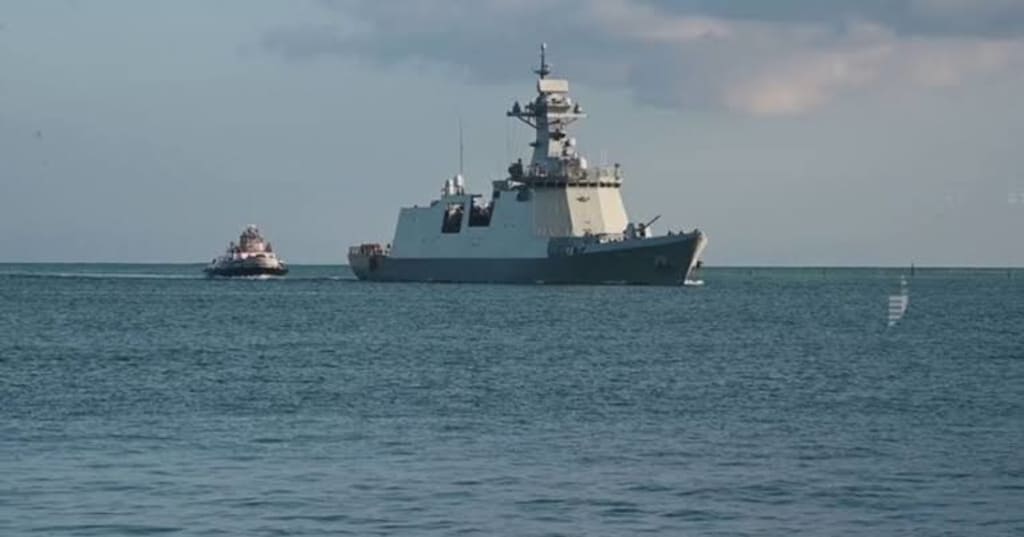
The Royal Navy has successfully completed a detailed hydrographic survey of the seabed in the Firth of Clyde, reinforcing the United Kingdom’s commitment to maritime security, navigational safety, and environmental stewardship. Using advanced sonar technology and specialist survey equipment, the Navy’s hydrographic team collected high-resolution data to create updated maps of the underwater landscape, ensuring that both military and civilian vessels can navigate the region safely.
The Firth of Clyde, located on Scotland’s west coast, is one of the UK's most strategically significant maritime areas. It serves as a major route for commercial shipping, fishing vessels, ferries, and Royal Navy operations. It is also home to important naval facilities, making accurate seabed mapping essential for national defense and maritime safety.
Why Seabed Mapping Matters
Hydrographic surveying is a vital part of modern maritime operations. The ocean floor is constantly changing due to natural sediment movement, underwater currents, storms, and human activity. Rocks, sandbanks, and submerged obstacles can shift over time, creating potential hazards for ships.
By regularly updating nautical charts, survey teams help ensure that mariners have the most accurate information available. These surveys reduce the risk of groundings, improve route planning, and enhance the safety of vessels operating in coastal waters.
For military forces, precise seabed data is equally important. Naval commanders rely on detailed underwater maps for submarine operations, mine countermeasure missions, amphibious exercises, and strategic planning.
Advanced Survey Technology
The Royal Navy hydrographic specialists employed sophisticated multibeam echo sounders capable of producing highly detailed three-dimensional images of the seabed. Unlike traditional single-beam sonar, multibeam systems scan wide areas simultaneously, providing comprehensive coverage of underwater terrain.
The survey also incorporated high-precision GPS positioning, motion sensors, tidal measurements, and specialized data-processing software. Together, these technologies allow hydrographers to identify underwater ridges, channels, wrecks, pipelines, and other submerged features with remarkable accuracy.
The collected information will be analyzed and integrated into updated nautical charts used by both military and civilian mariners.
Strategic Importance of the Firth of Clyde
The Firth of Clyde has long played a crucial role in Britain's maritime history. Today, it remains an important gateway for commercial shipping while also supporting naval operations that contribute to national defense.
The nearby naval facilities support submarine operations and various maritime training activities. Maintaining accurate hydrographic information helps ensure that these missions can be conducted safely and efficiently.
Commercial operators also benefit from improved navigation data, reducing operational risks and increasing confidence when transiting the busy waterway.
Supporting National Security
Modern naval operations depend heavily on accurate hydrographic intelligence. Whether deploying surface ships, submarines, or unmanned underwater vehicles, commanders require precise knowledge of underwater conditions.
Detailed seabed mapping supports mission planning by identifying safe navigation routes and potential underwater hazards. It also contributes to maritime domain awareness, allowing defense forces to better understand the operating environment.
As underwater technologies continue to evolve, hydrographic data has become an increasingly valuable strategic asset for modern navies.
Environmental Benefits
Hydrographic surveys also provide valuable environmental information. Scientists can use seabed mapping data to study marine habitats, sediment movement, and coastal ecosystem changes.
Accurate underwater mapping assists environmental agencies in monitoring sensitive habitats and managing marine protected areas. It can also support research into coastal erosion, climate change impacts, and biodiversity conservation.
The Royal Navy frequently collaborates with scientific organizations by sharing non-sensitive hydrographic information that contributes to marine research.
Improving Maritime Safety
One of the primary objectives of hydrographic surveying is protecting lives at sea. Updated navigation charts reduce the likelihood of accidents involving commercial ships, fishing vessels, ferries, recreational boats, and emergency response craft.
The Firth of Clyde experiences significant maritime traffic throughout the year. Reliable hydrographic information enables captains to make informed navigation decisions under varying weather and tidal conditions.
Accurate charts also improve search and rescue planning by providing emergency responders with detailed knowledge of underwater terrain.
Innovation in Hydrographic Surveying
Modern hydrographic surveying has advanced significantly over the past decade. In addition to crewed survey vessels, navies increasingly employ autonomous surface vessels, remotely operated underwater vehicles, and aerial drones to collect data more efficiently.
Artificial intelligence and advanced data analytics now help process enormous volumes of sonar information quickly, enabling hydrographers to produce highly accurate digital seabed models in less time than ever before.
These technological innovations improve operational efficiency while reducing survey costs and expanding coverage of coastal waters.
Future Hydrographic Missions
The successful Firth of Clyde survey forms part of an ongoing program to modernize nautical information around the United Kingdom. As shipping traffic grows and maritime infrastructure expands, regular hydrographic updates will remain essential.
Future surveys may focus on additional coastal regions, ports, offshore energy installations, and environmentally sensitive areas. Continuous monitoring ensures that navigation charts remain current despite changing seabed conditions.
The Royal Navy is expected to continue investing in next-generation hydrographic technologies that enhance both defense capabilities and maritime safety.
Conclusion
The Royal Navy's hydrographic survey of the Firth of Clyde demonstrates the critical importance of accurate seabed mapping in today's maritime environment. By combining advanced sonar systems, precise positioning technology, and expert hydrographic analysis, the survey team has improved navigational safety while supporting military readiness and environmental research.
Although largely unseen by the public, hydrographic surveying forms the foundation of safe and effective maritime operations. Every updated chart contributes to protecting lives, supporting commerce, strengthening national security, and expanding scientific understanding of the underwater world.
As maritime challenges continue to evolve, detailed seabed mapping will remain an indispensable tool for ensuring that one of Britain's most strategically important waterways continues to serve both military and civilian users safely and efficiently.
About the Creator
Enjoyed the story? Support the Creator.
Subscribe for free to receive all their stories in your feed.
Comments
There are no comments for this story
Be the first to respond and start the conversation.