
Where The Day Meets the Bay
A Visual Research Article on Sunset Landscapes in Misamis Oriental


Abstract
This visual research article examines a personal photographic record of sunsets observed across Tagoloan and Cagayan de Oro in Misamis Oriental. The collection was assembled during the author’s first year in the province after arriving on 13 December 2025 for an assignment as a Consultant Document Controller on a major infrastructure project. Using repeated, place-based observation and visual description, the article considers how sunset changes the perception of six environments: Paco Beach in Barangay Gracia, Poblacion in Tagoloan, the Mindanao Container Terminal area, Puerto, the Cagayan de Oro Coastal Road, and Malaiba in Barangay Casinglot. The images reveal a recurring relationship among sky, water, industry, settlement, and movement. Rather than presenting a controlled atmospheric-science study, the work is framed as reflective visual inquiry: a documented encounter with place, supported by geographic and coastal context. The central finding is that sunset is not merely a scenic background. It becomes a daily lens through which working landscapes, shorelines, roads, and communities can be seen as one connected regional environment.
Keywords sunset photography; visual inquiry; sense of place; Tagoloan; Cagayan de Oro; Macajalar Bay; Misamis Oriental; industrial landscape
1. Introduction
A sunset is brief, but repeated attention turns it into a record. Since arriving in Misamis Oriental on 13 December 2025, I have used my phone to photograph the closing light whenever the ordinary day suddenly became visually extraordinary. These photographs were taken not as a single planned field campaign, but as a sustained personal practice alongside professional work: leaving an office, passing a road, facing the sea, or noticing how light settled over an active project site.
Tagoloan is a coastal municipality in Northern Mindanao associated with Macajalar Bay, while the wider study area connects directly with Cagayan de Oro. Public geographic profiles identify Tagoloan as a coastal municipality with ten barangays, including Gracia, Poblacion and Casinglot [1]. The PHIVIDEC Industrial Estate also spans parts of Tagoloan and Villanueva, with the Mindanao Container Terminal located within this industrial setting [2]. This proximity makes the area especially suitable for examining a central visual question: how does evening light reshape places commonly understood through work, transport, infrastructure and everyday movement?
2. Approach and Scope
The article uses a qualitative, place-based visual approach. Fifty-six photographs from the author’s original Word draft were retained, grouped by the location labels supplied in that draft, and lightly adjusted only for clarity, contrast and color balance. The photographs were then read comparatively, focusing on recurring visual features: horizon lines, cloud structure, reflections, silhouettes, built forms, shoreline edges, and the transition from daylight to dusk.
The method has clear limits. Capture dates, camera settings and meteorological measurements were not available in the source file; therefore, the discussion does not claim scientific measurement of cloud type, air quality, or seasonal conditions. The result is a research-style visual essay rather than a controlled climatological investigation. Its evidence is the image sequence itself, supported by published geographic and coastal context.
3. Regional Context
The shorelines around Tagoloan form part of the Macajalar Bay environment. A 2025 paper on Tagoloan’s shoreline describes coastal barangays including Gracia and Casinglot as places where fishing, tourism, industry and environmental vulnerability intersect [3]. Public descriptions of the Cagayan de Oro Coastal Road likewise emphasize both transportation and its role as a shoreline space used for views and recreation [4]. These sources help situate the photographs within a living coastal corridor rather than treating each sunset as an isolated scene.
Research position The photographs are primary visual observations by the author. External references provide geographic context, not interpretations of individual images.
Barangay Gracia (Paco Beach), Tagoloan
At Paco Beach, the horizon opens the composition. Water receives the sky as a second surface, while the shoreline gives the photographs a human scale. Warm light does not erase the working and residential character of the coast; it makes the boundary between land and bay more legible. Across the sequence, the scene moves from brightness toward silhouette, suggesting that place is experienced through change rather than through a single fixed view.
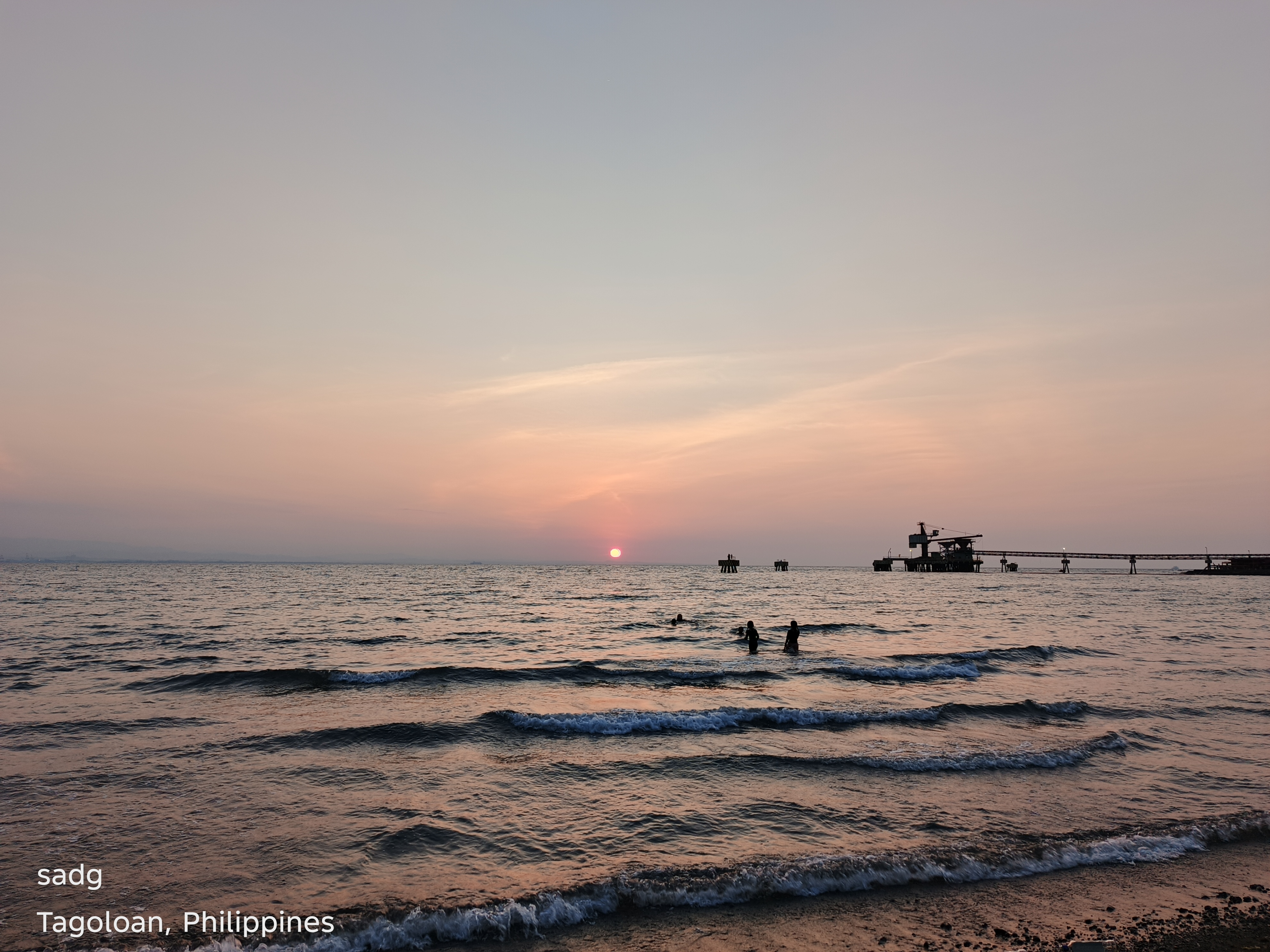
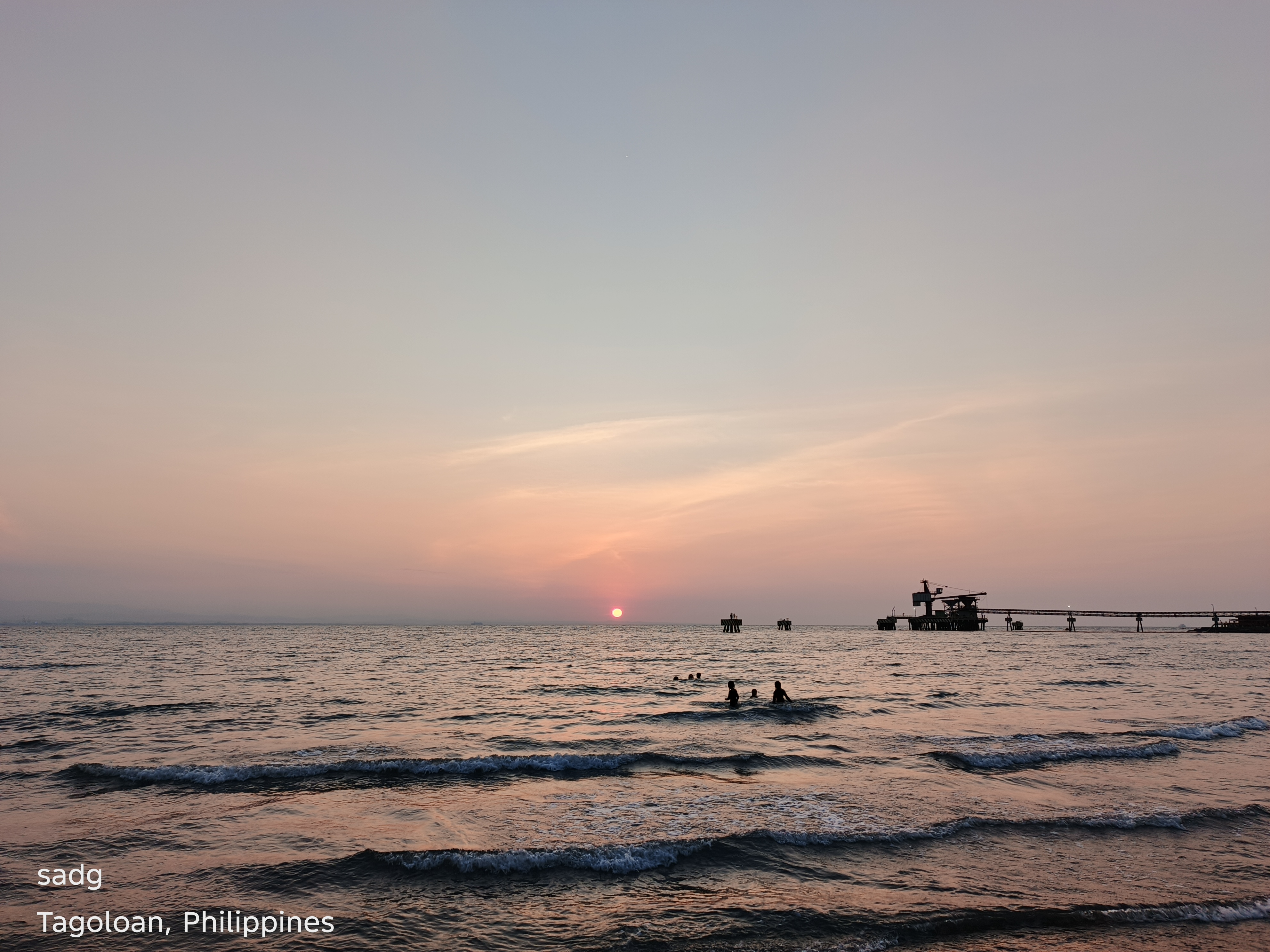
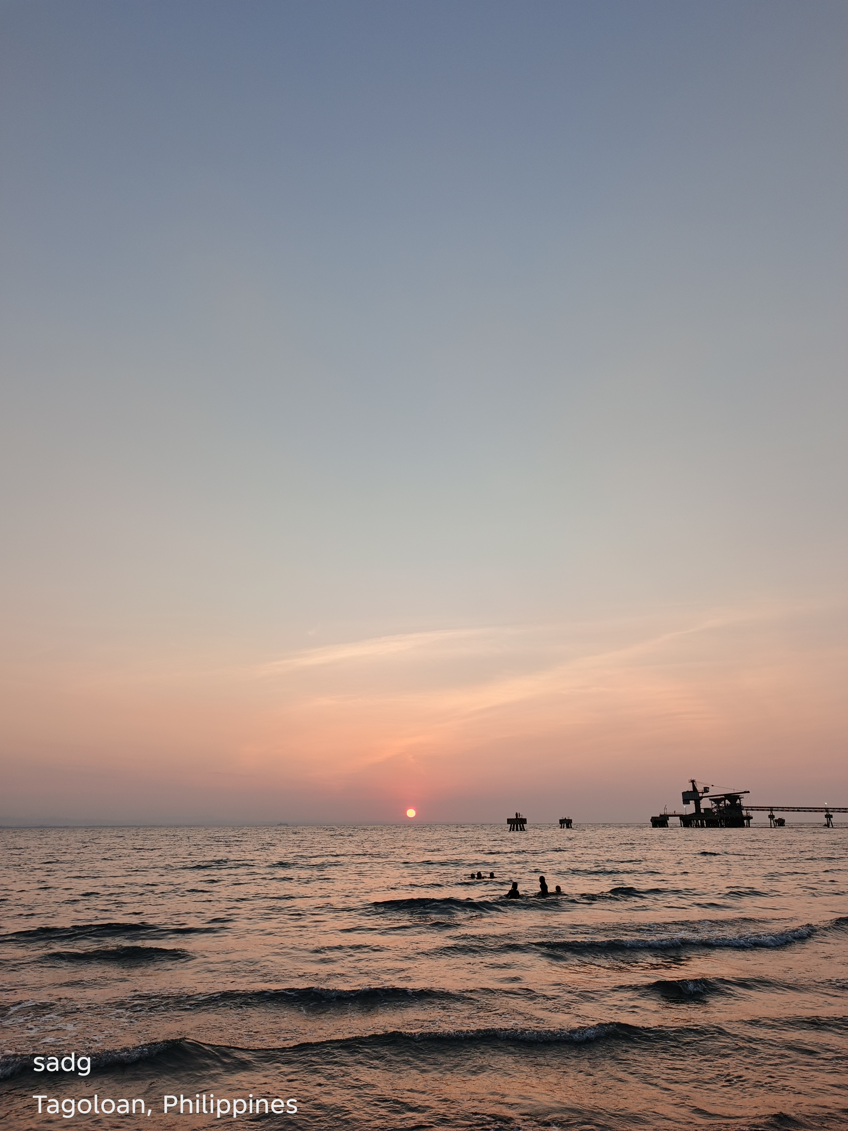
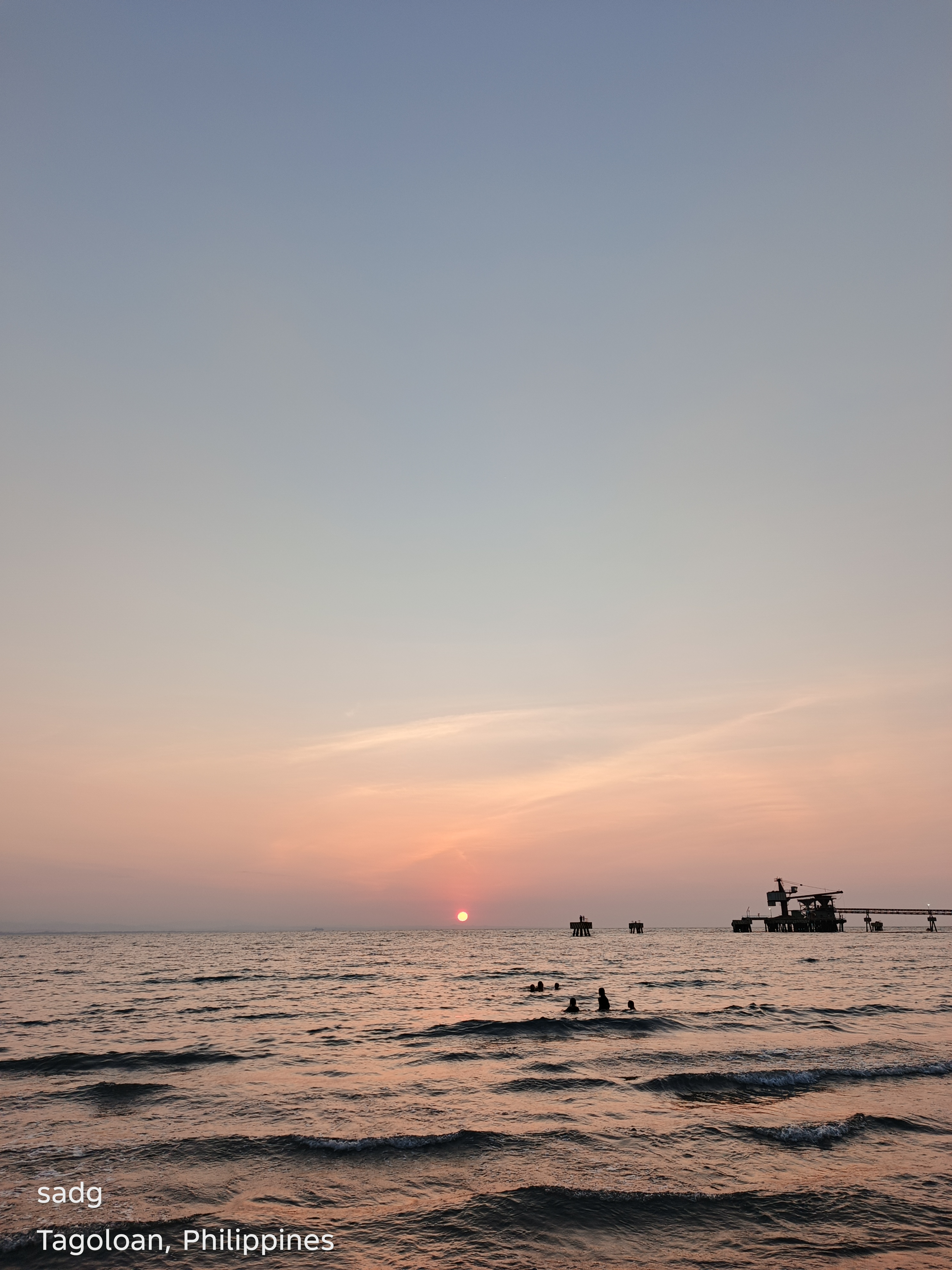
Barangay Gracia (Paco Beach), Tagoloan - Continued
Continued visual sequence. The paired arrangement preserves the original location grouping and allows comparison of color, horizon, foreground, and the changing balance between natural and built forms.
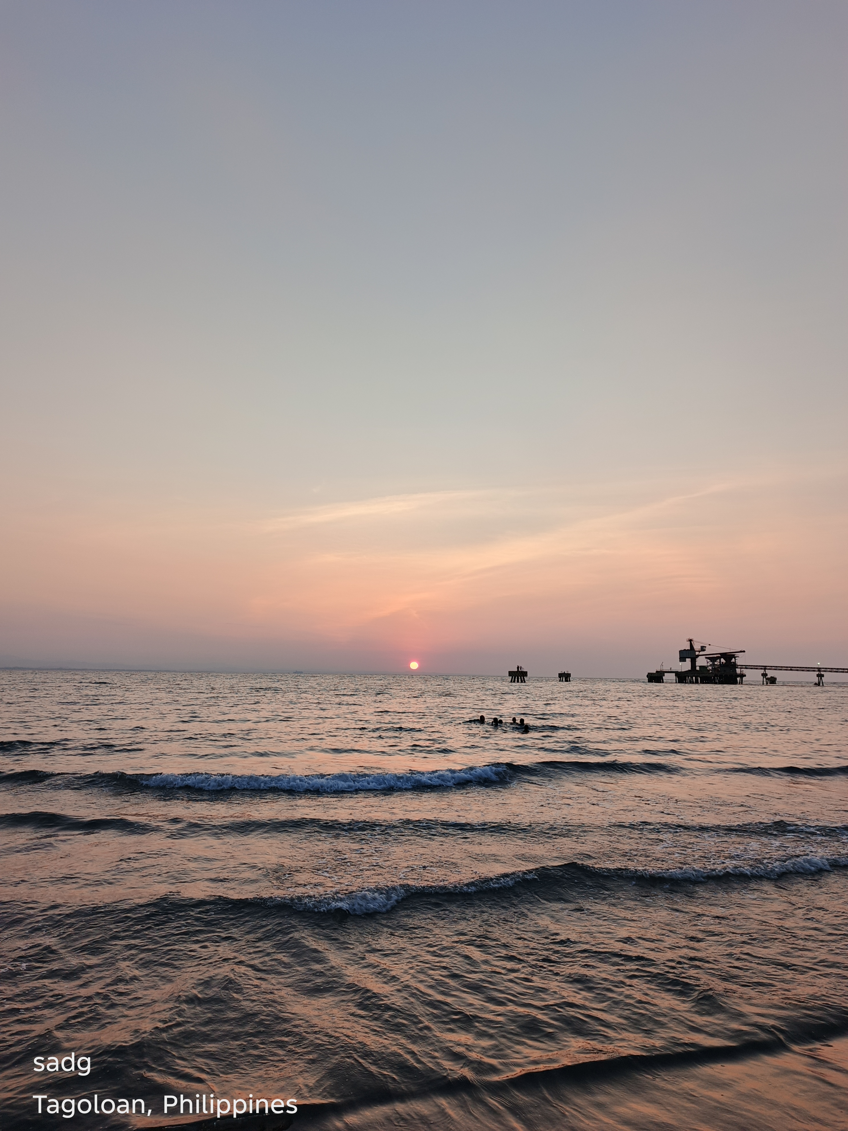
Poblacion, Tagoloan
The Poblacion photographs show sunset entering an inhabited landscape. Rooflines, roads, vegetation and utility forms become dark anchors beneath a changing sky. Here the visual value lies in contrast: the civic and everyday foreground remains recognizable, while the upper part of the frame becomes expansive. The result is not an escape from the town, but a renewed way of seeing it.

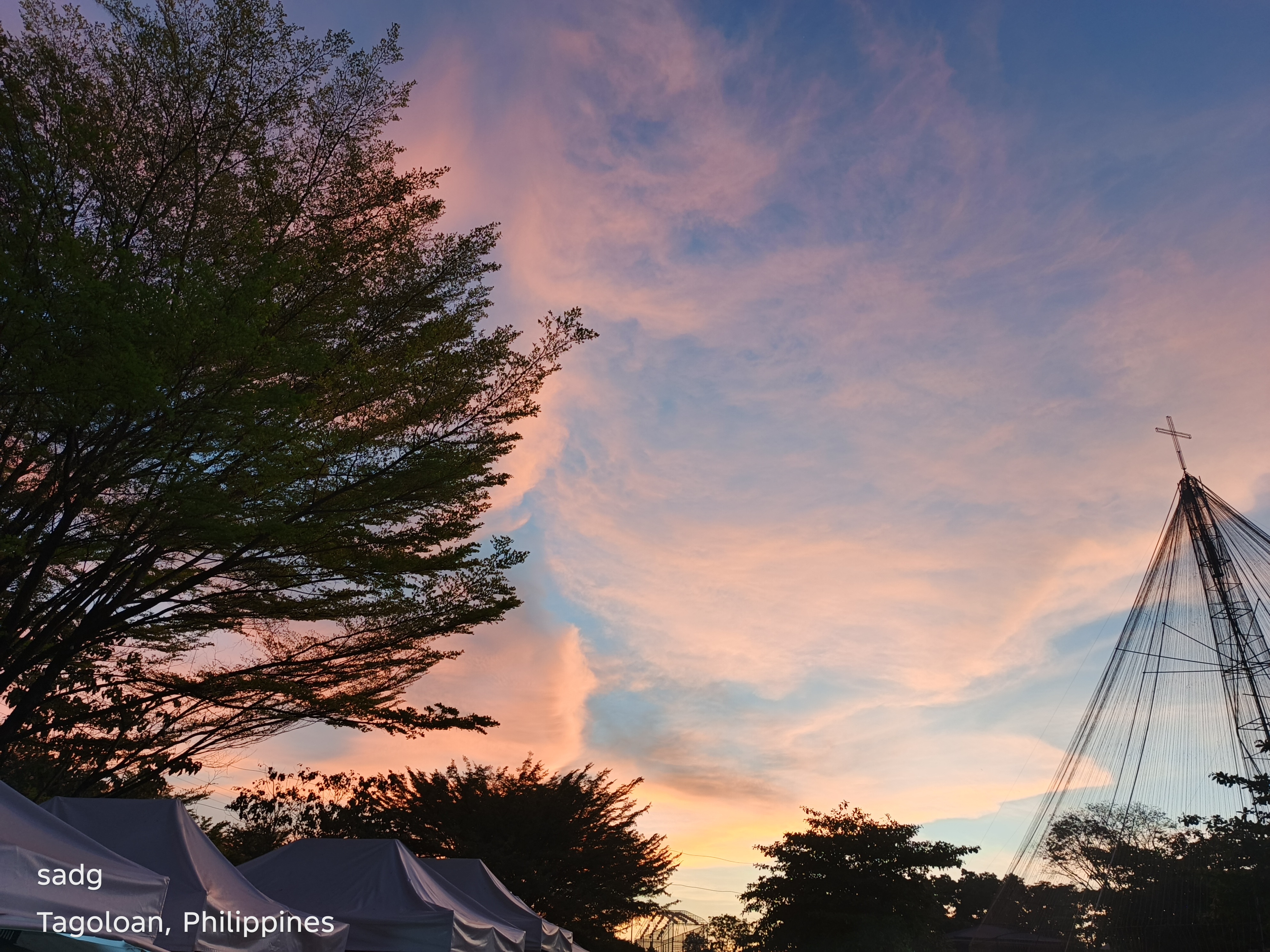
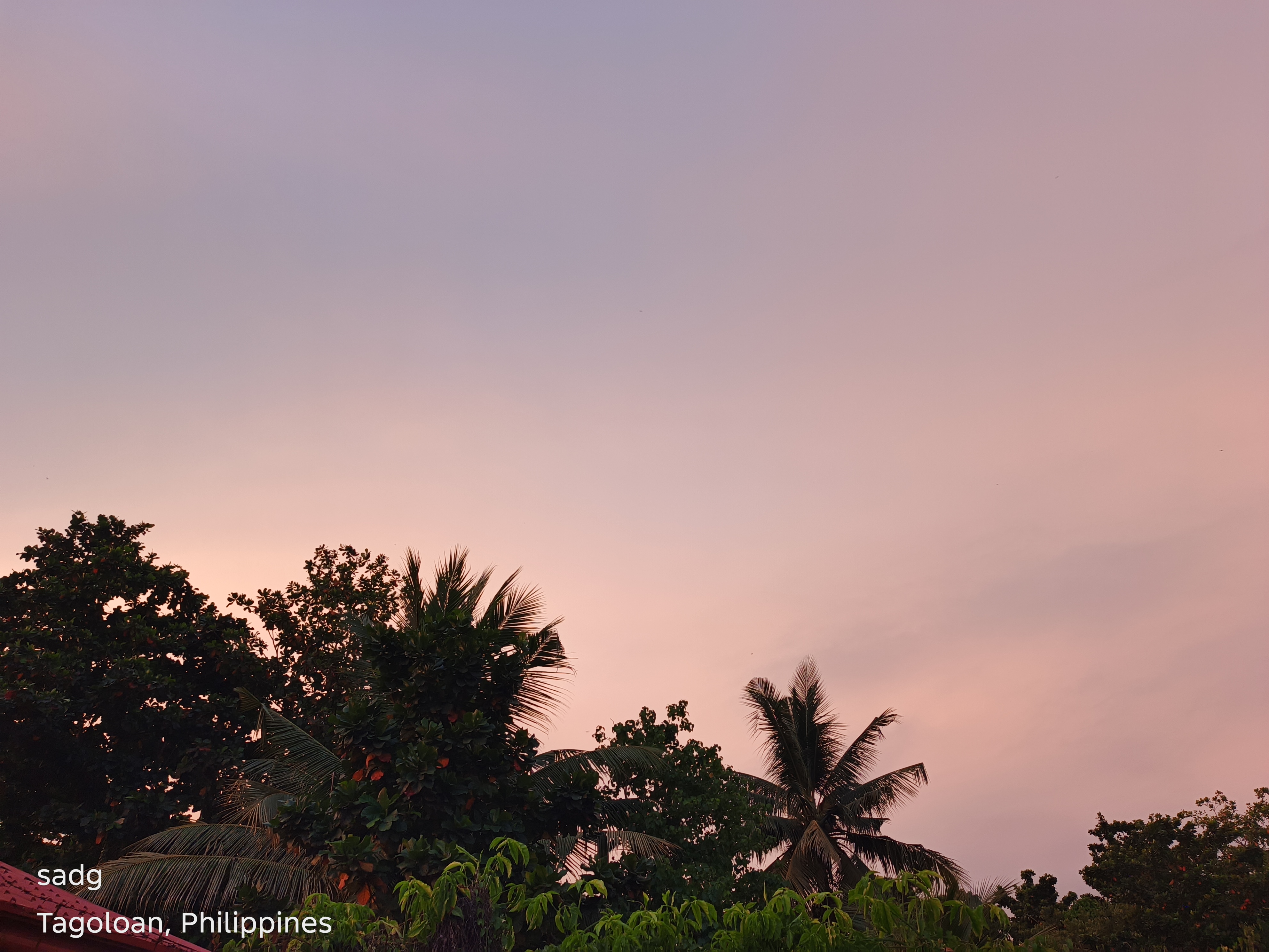
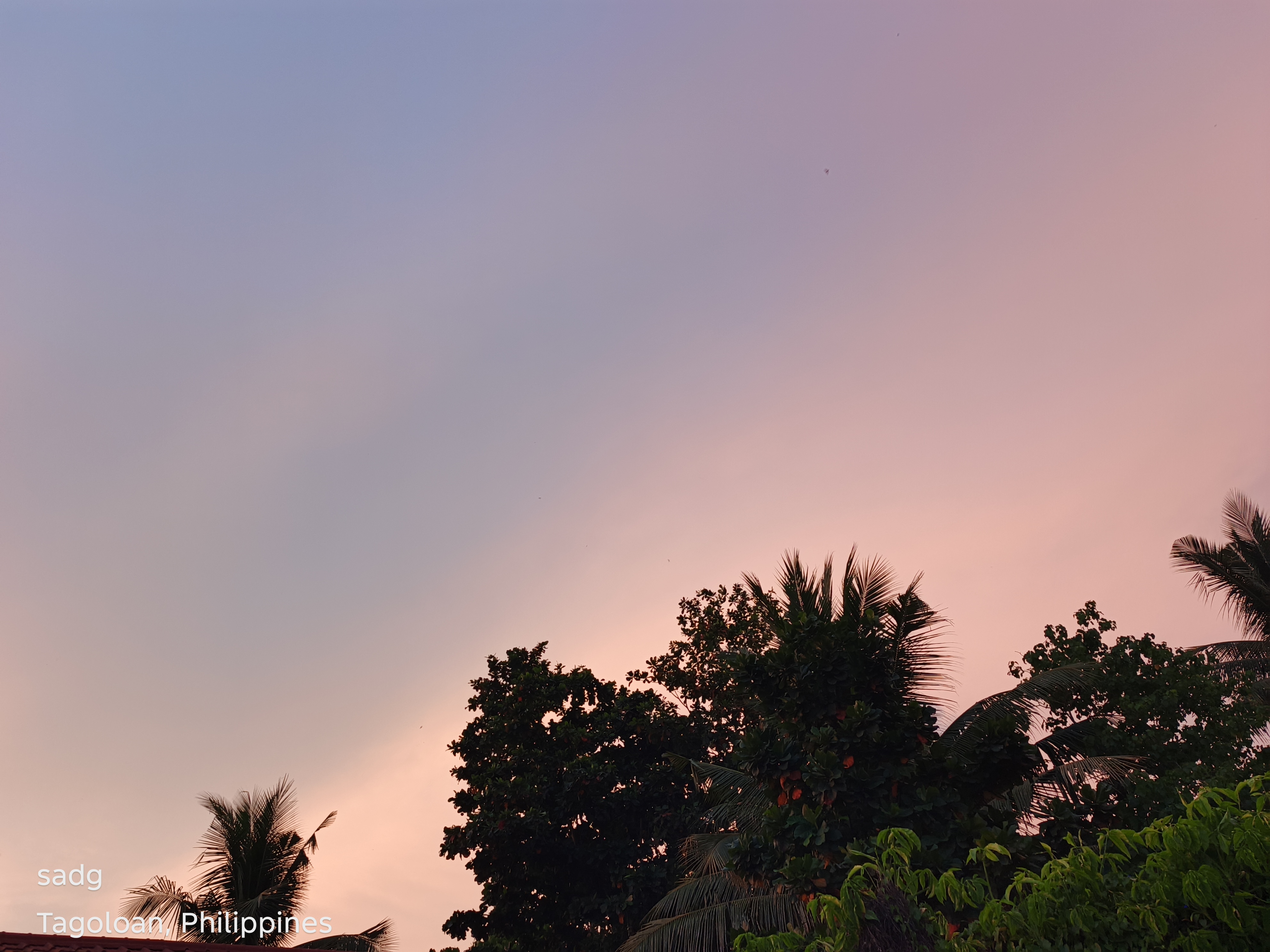
Poblacion, Tagoloan - Continued
Continued visual sequence. The paired arrangement preserves the original location grouping and allows comparison of color, horizon, foreground, and the changing balance between natural and built forms.
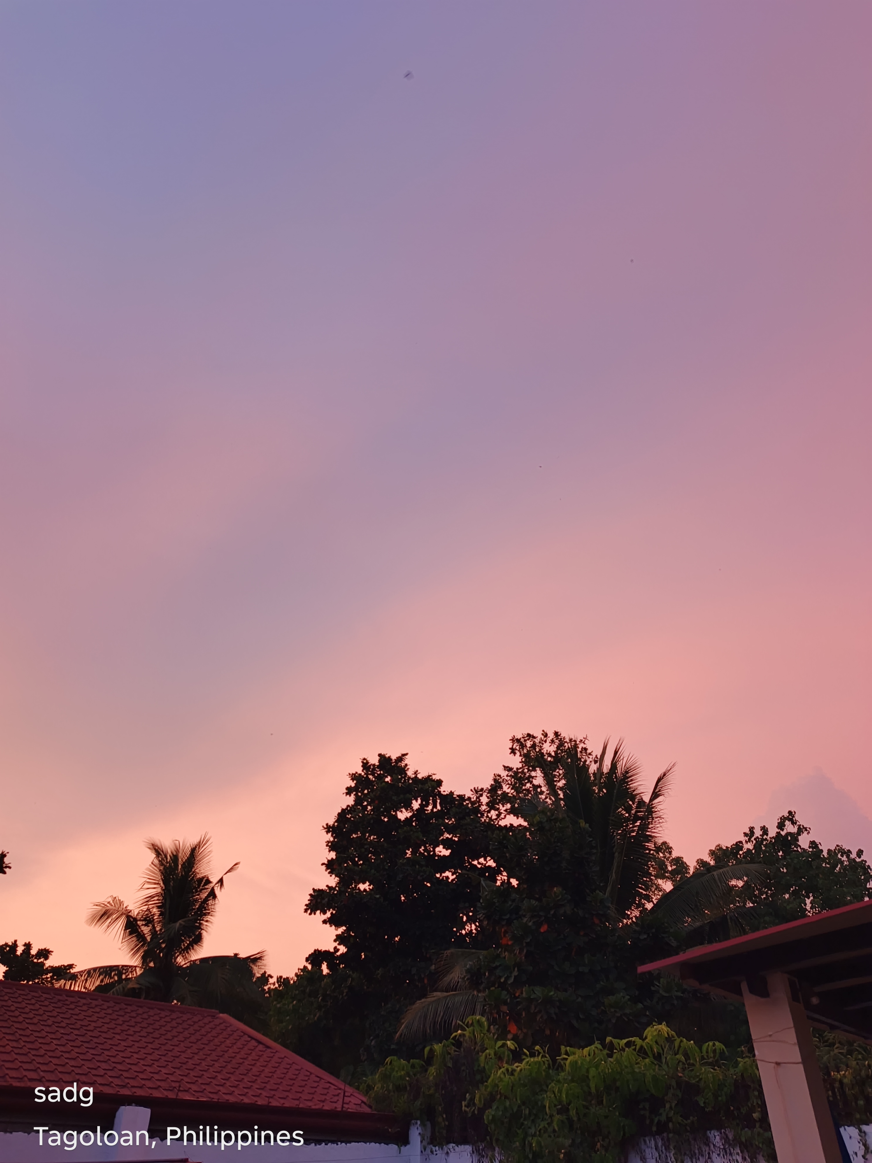
Mindanao Container Terminal Area, Tagoloan
The terminal-area images form the largest group in the collection. Infrastructure, cranes, vessels, equipment and open water share the frame with broad evening skies. Sunset softens color yet sharpens silhouette, making industrial geometry more visible. These photographs challenge the assumption that beauty belongs only to untouched scenery. They show that a working port can also become a reflective landscape without denying its operational purpose.
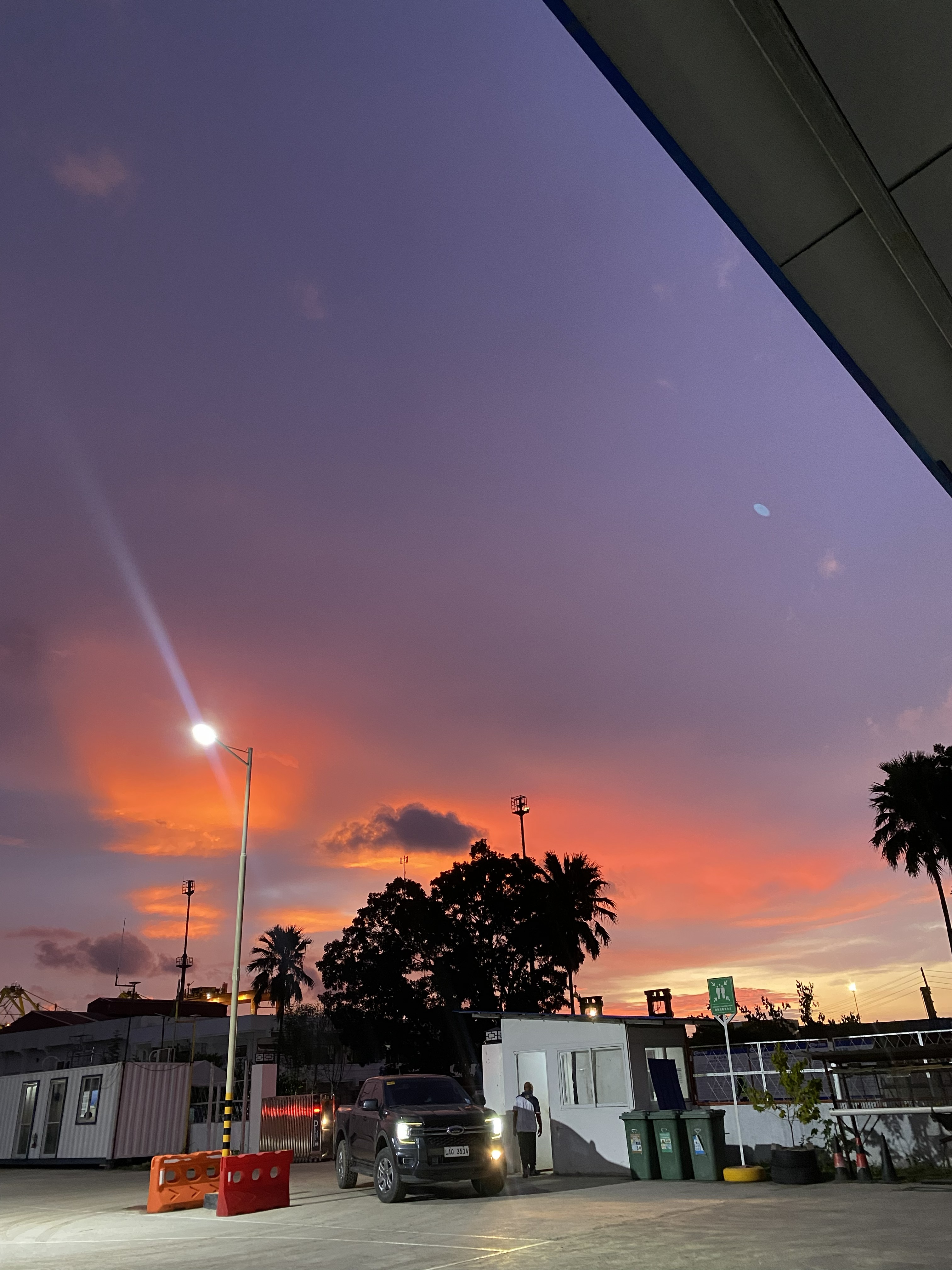
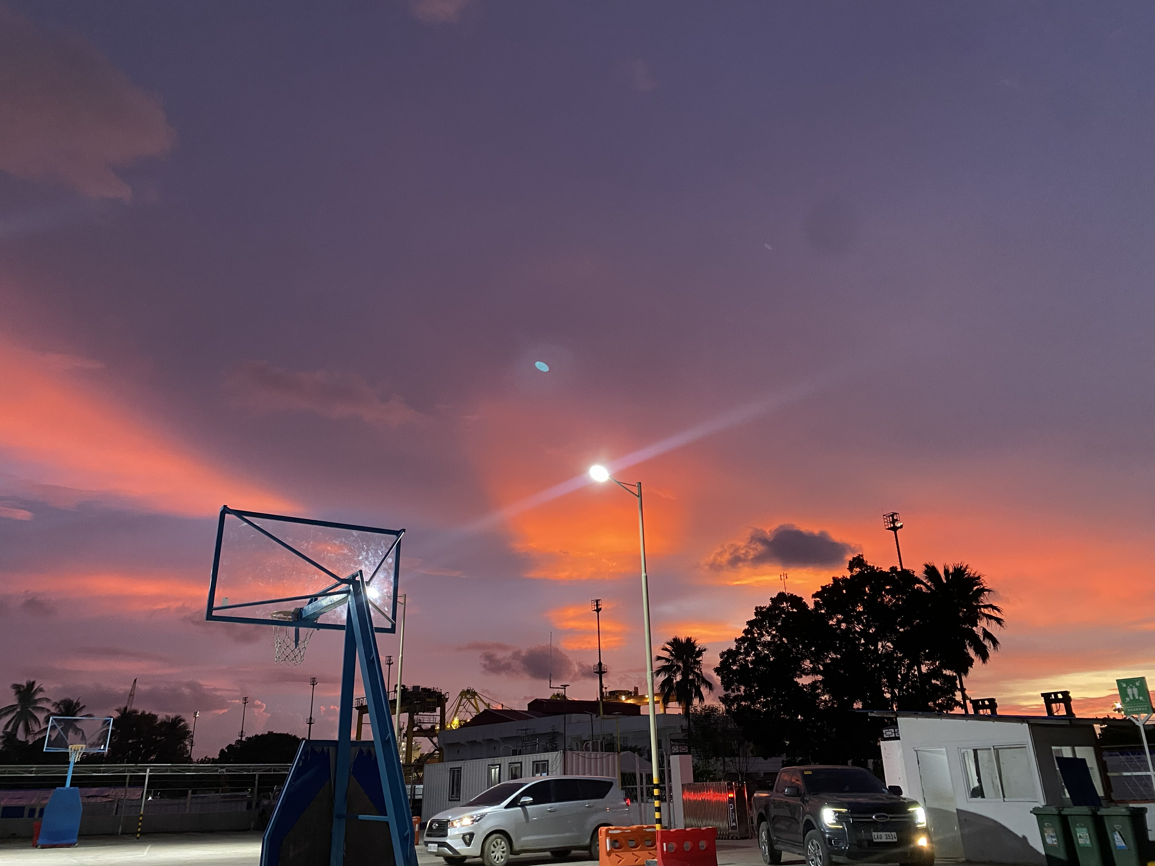
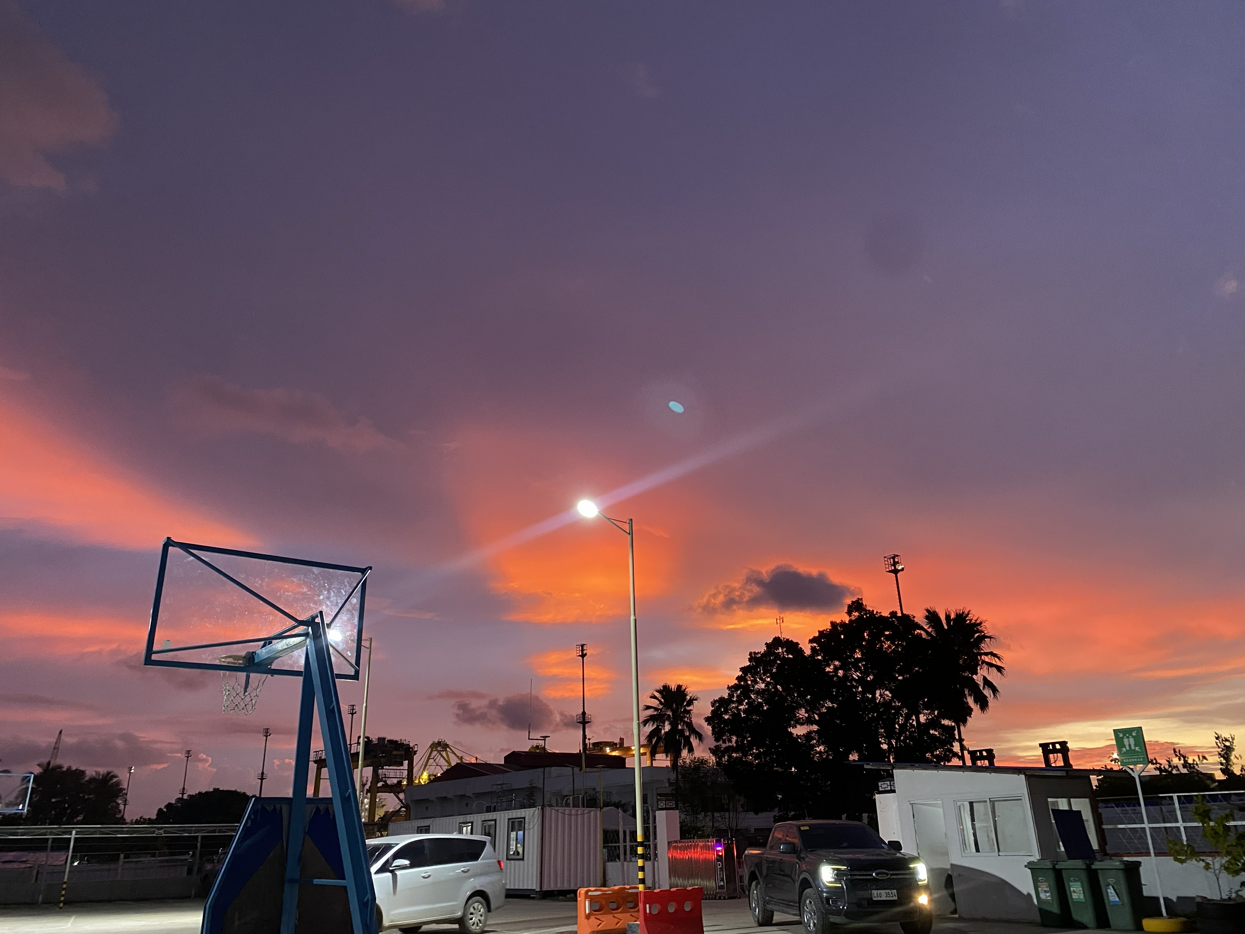
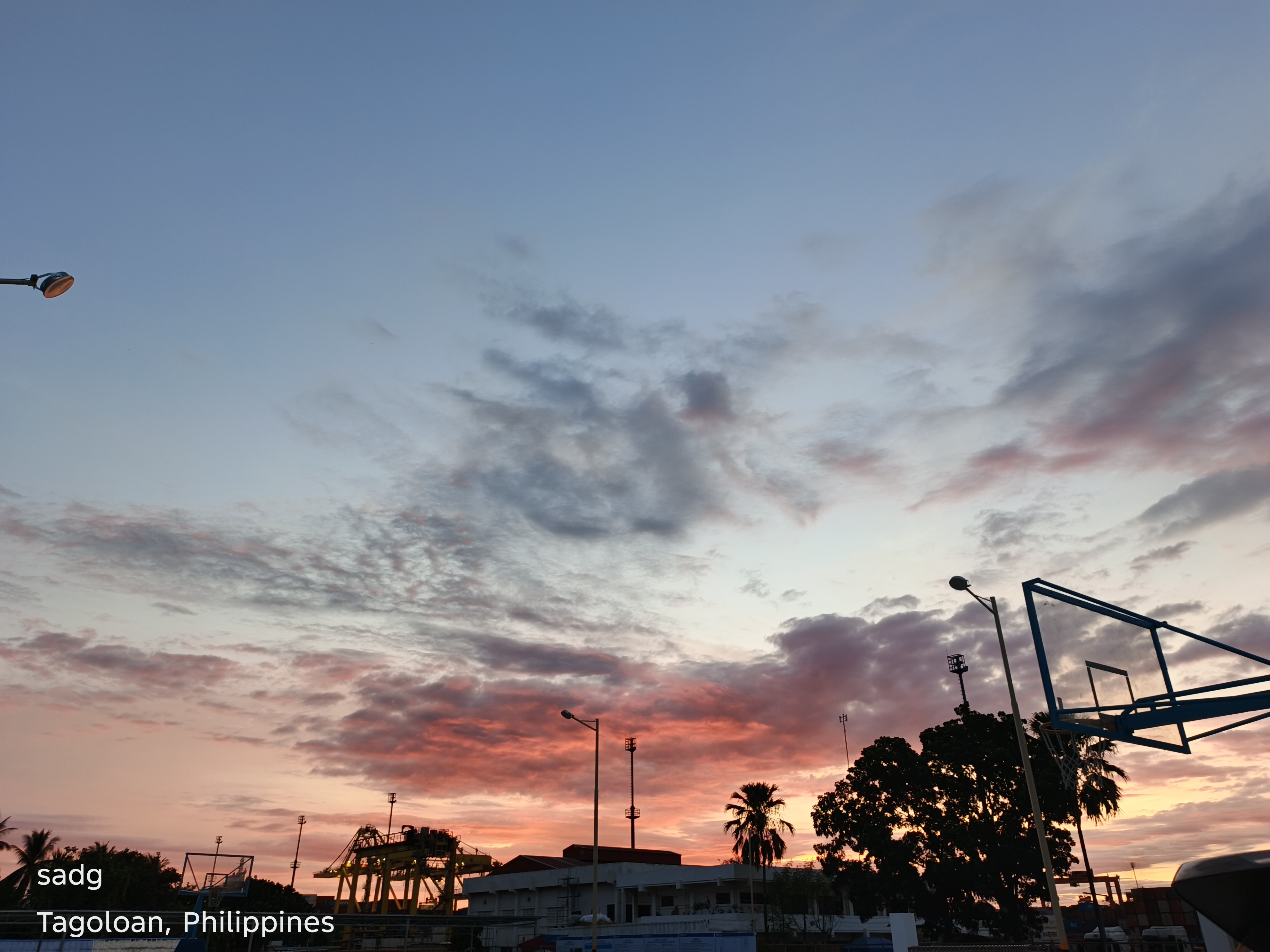
Mindanao Container Terminal Area, Tagoloan - Continued
Continued visual sequence. The paired arrangement preserves the original location grouping and allows comparison of color, horizon, foreground, and the changing balance between natural and built forms.
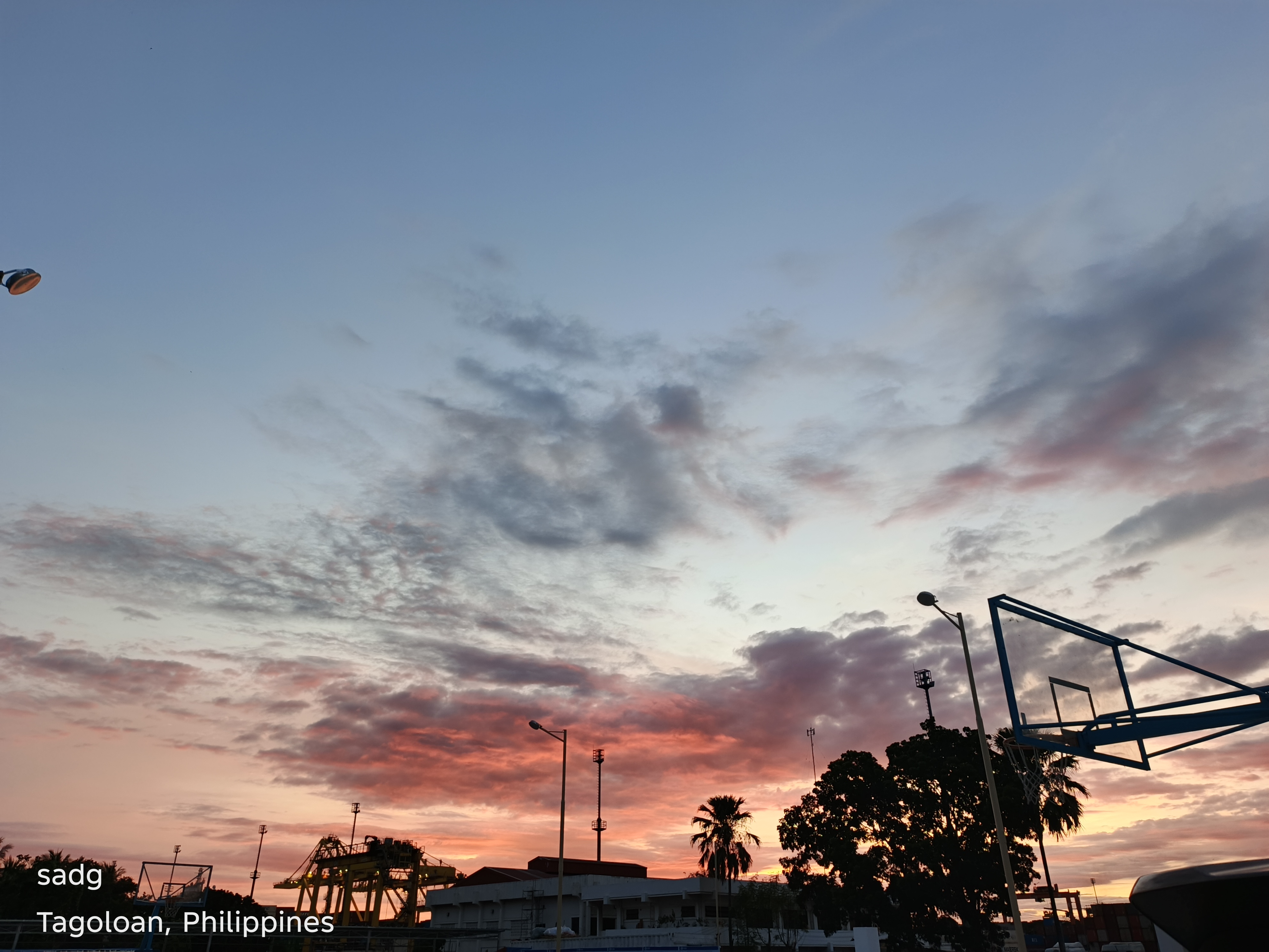


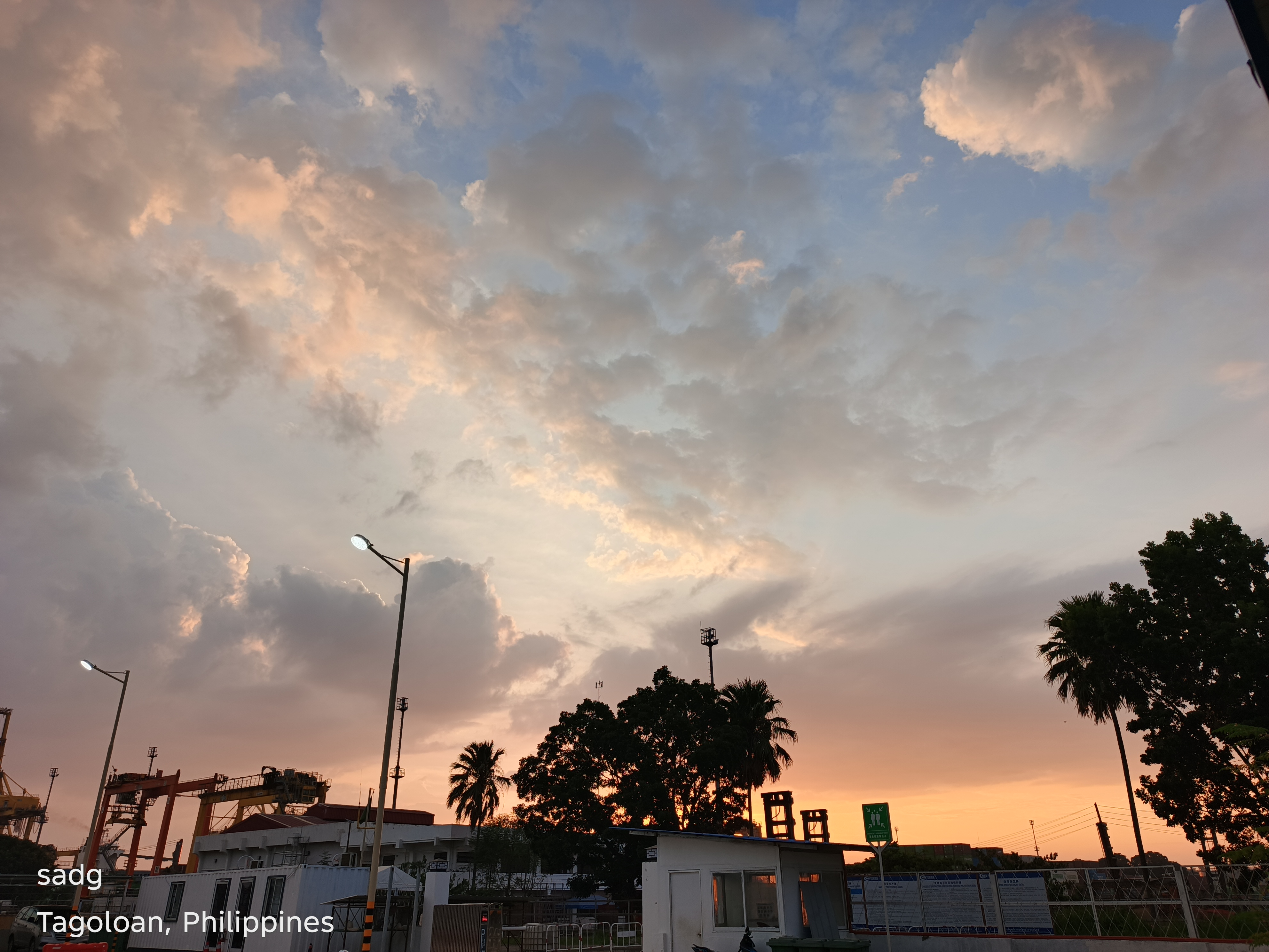
Mindanao Container Terminal Area, Tagoloan - Continued
Continued visual sequence. The paired arrangement preserves the original location grouping and allows comparison of color, horizon, foreground, and the changing balance between natural and built forms.
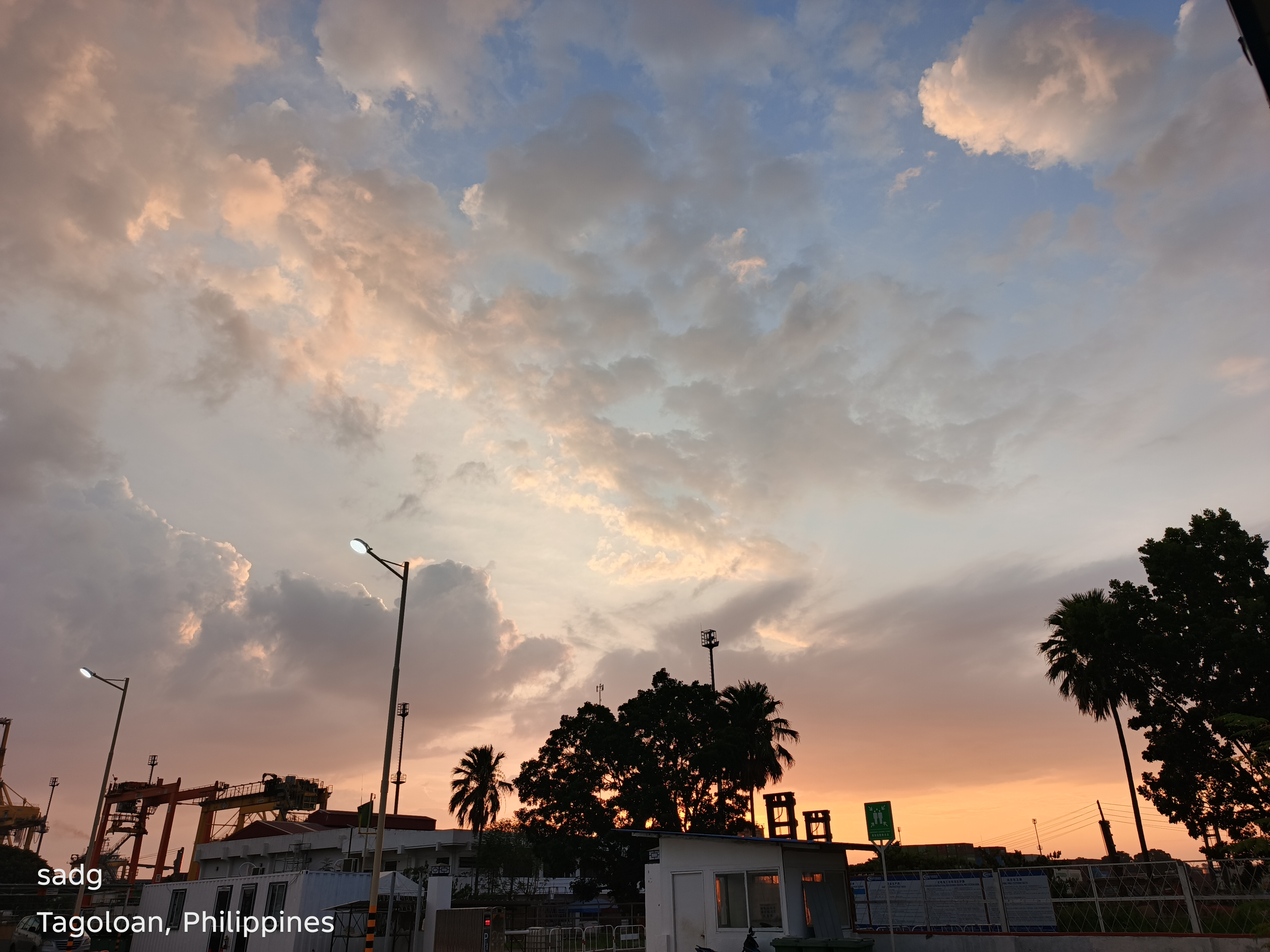
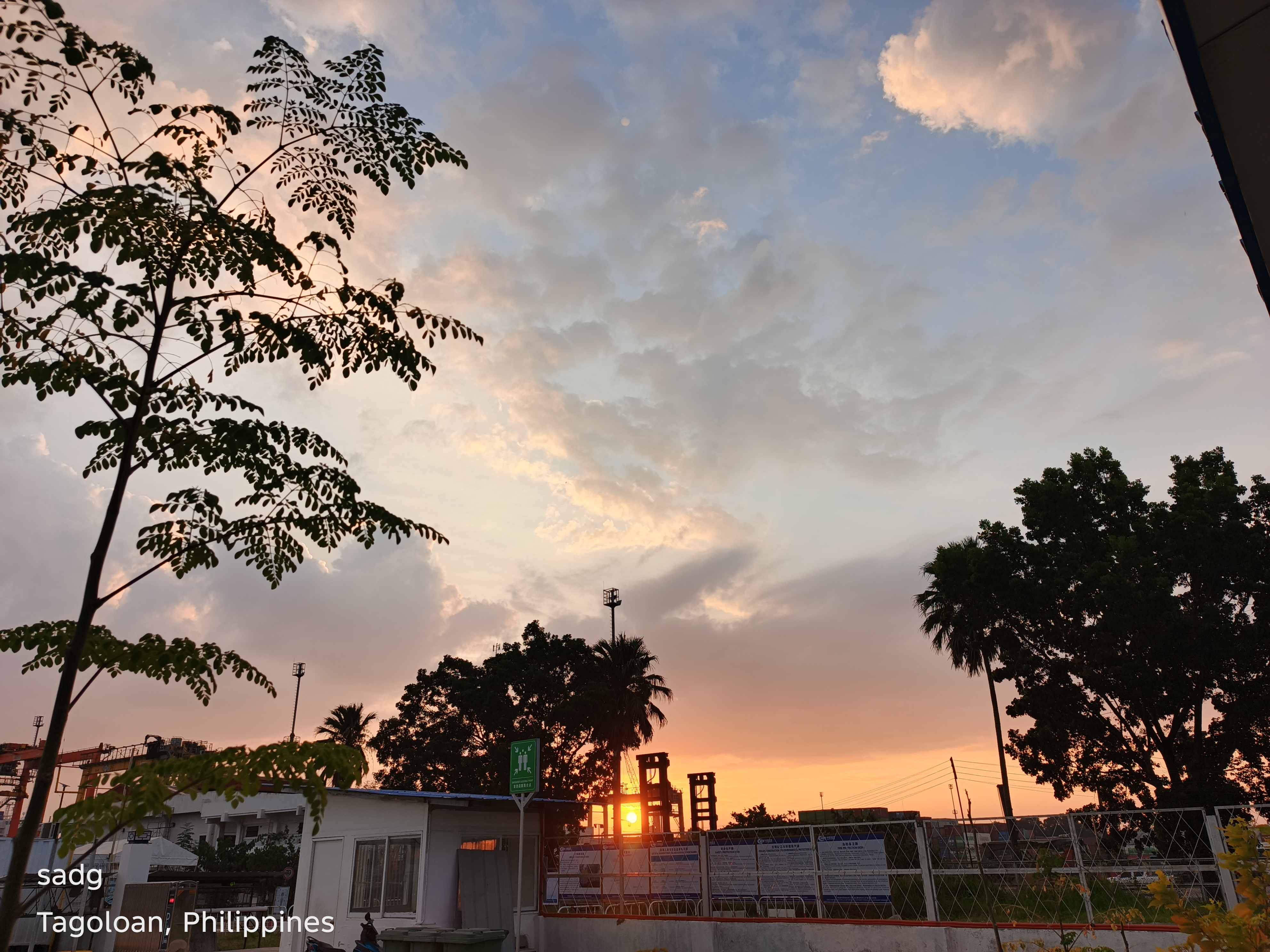
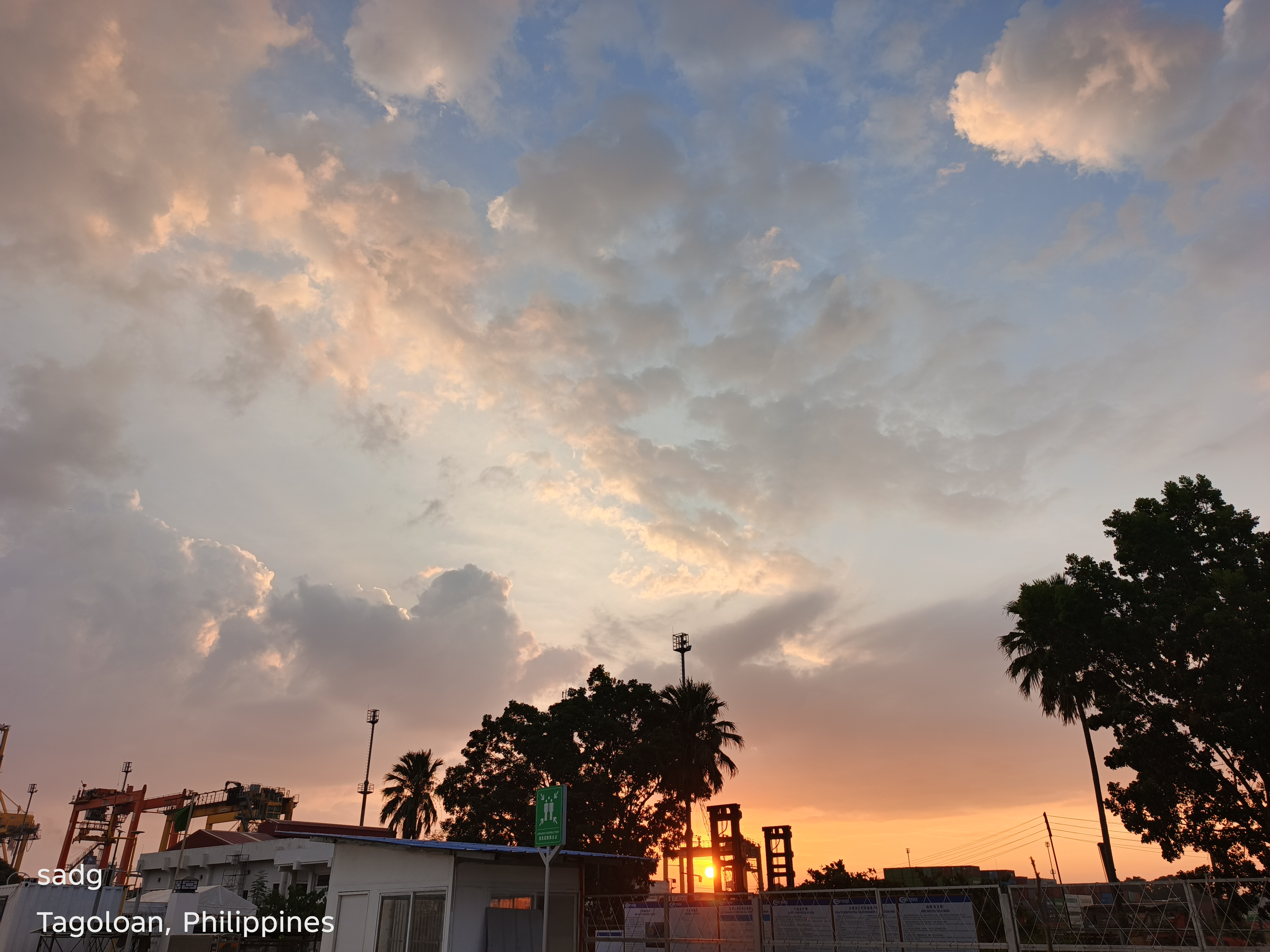
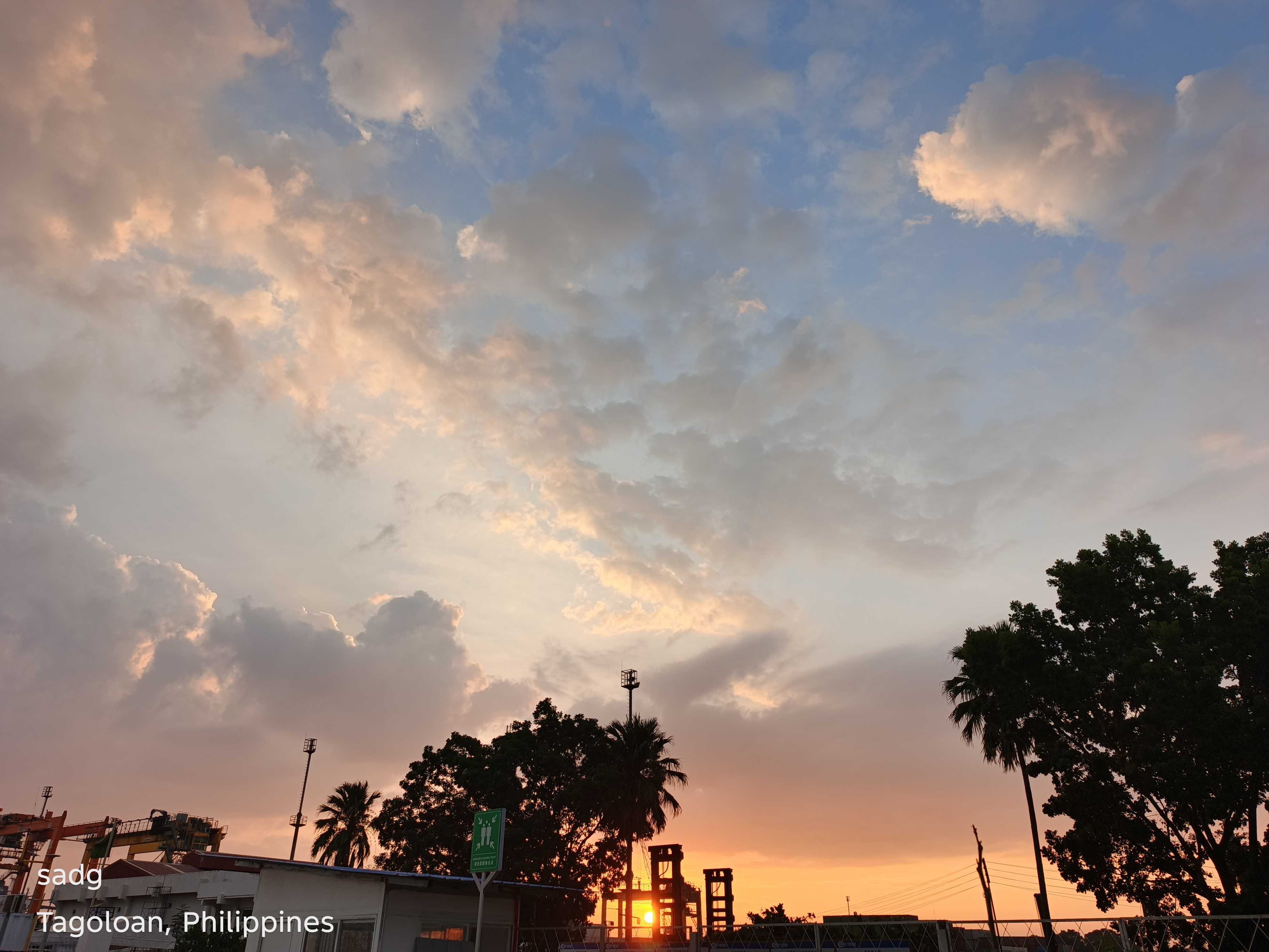
Mindanao Container Terminal Area, Tagoloan - Continued
Continued visual sequence. The paired arrangement preserves the original location grouping and allows comparison of color, horizon, foreground, and the changing balance between natural and built forms.
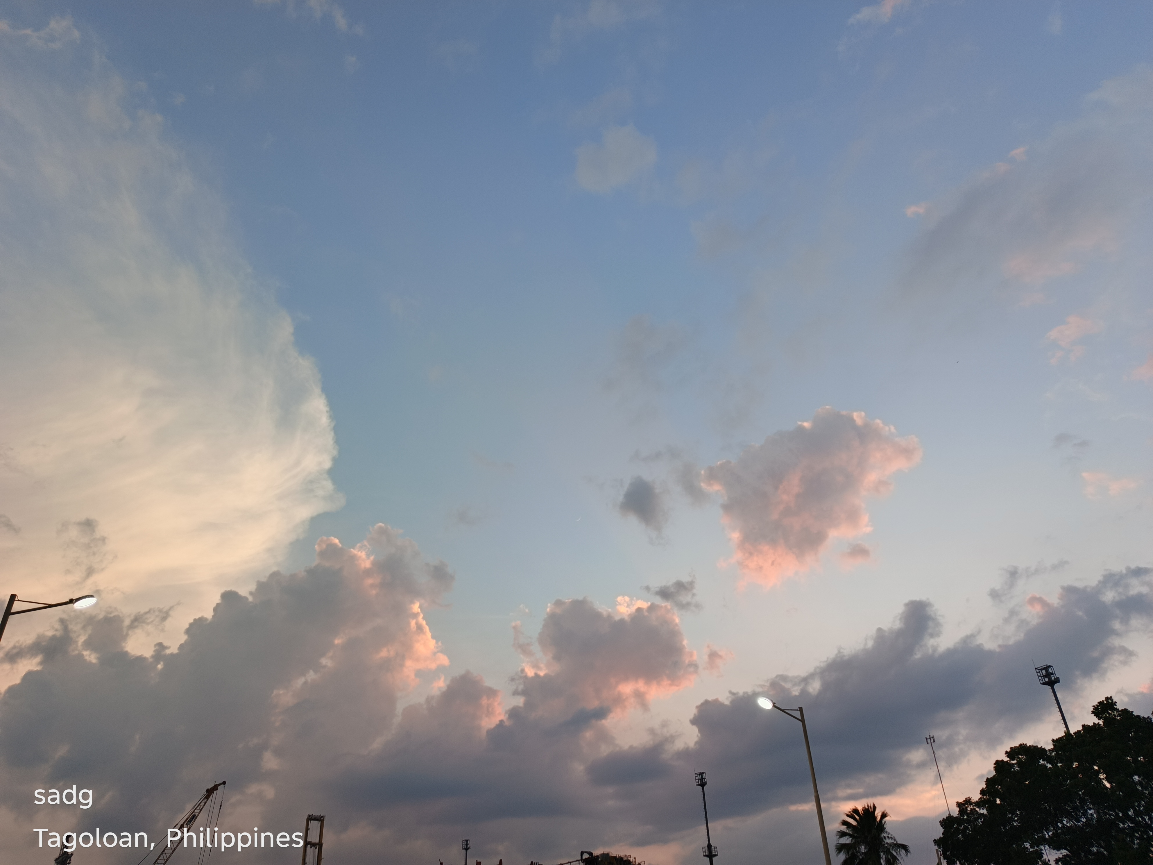
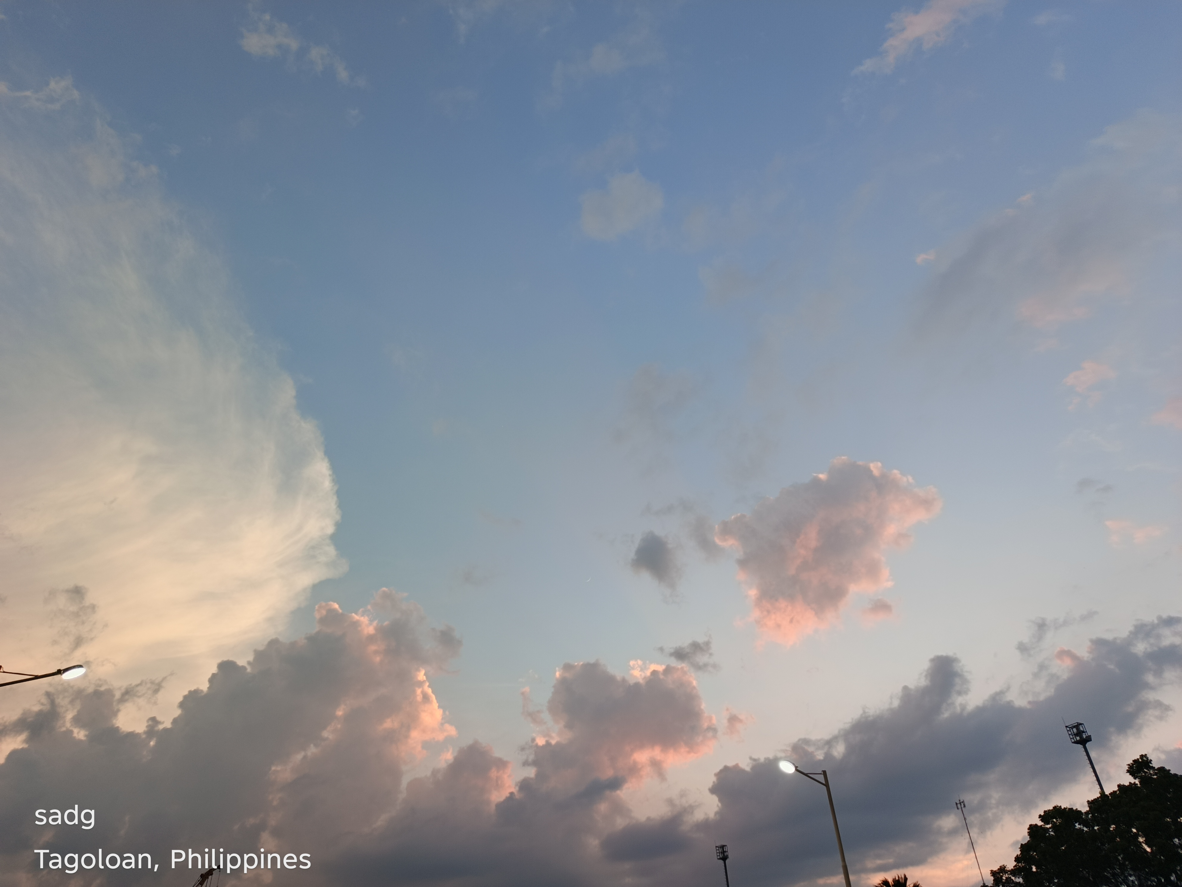
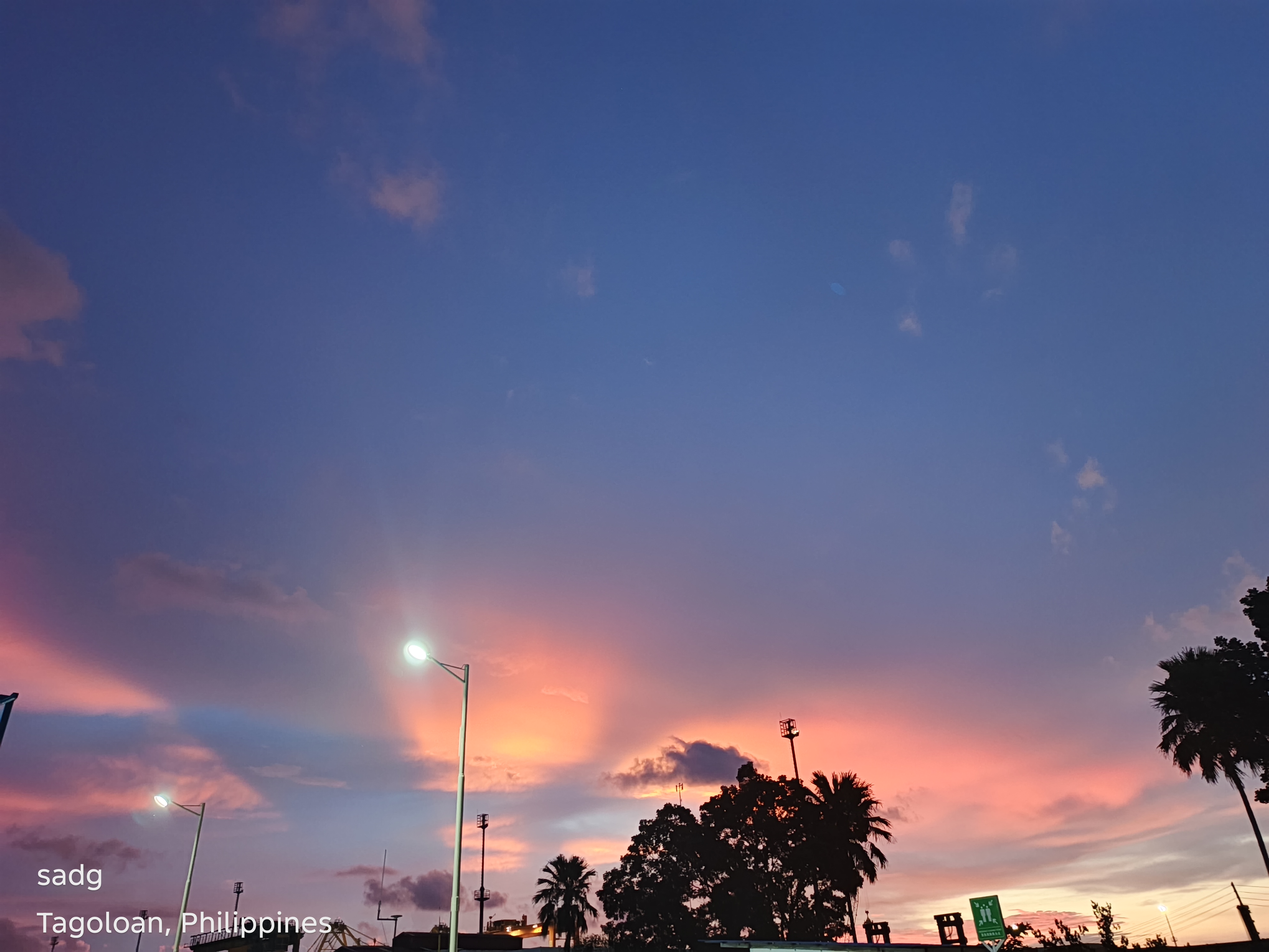
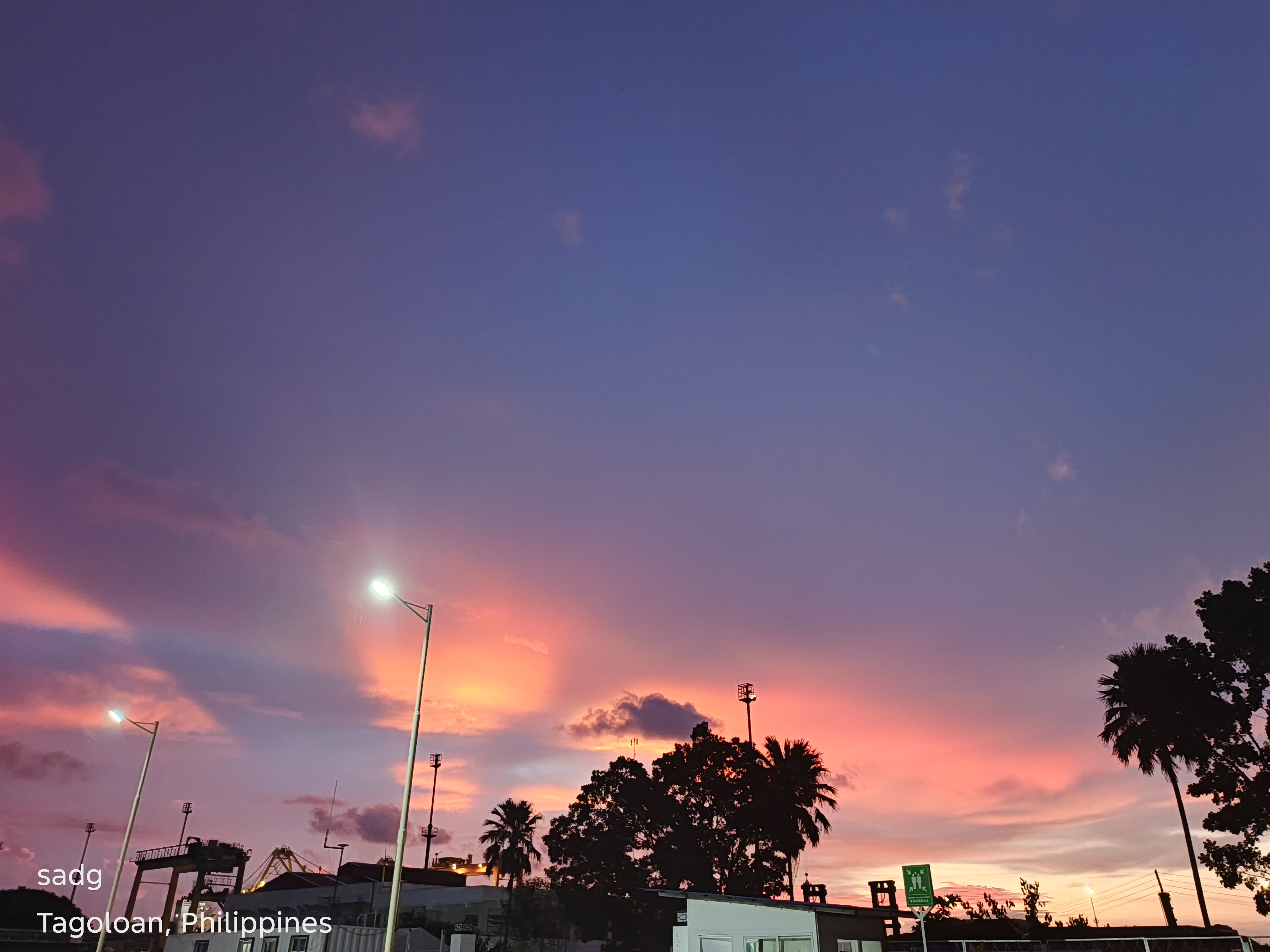
Mindanao Container Terminal Area, Tagoloan - Continued
Continued visual sequence. The paired arrangement preserves the original location grouping and allows comparison of color, horizon, foreground, and the changing balance between natural and built forms.
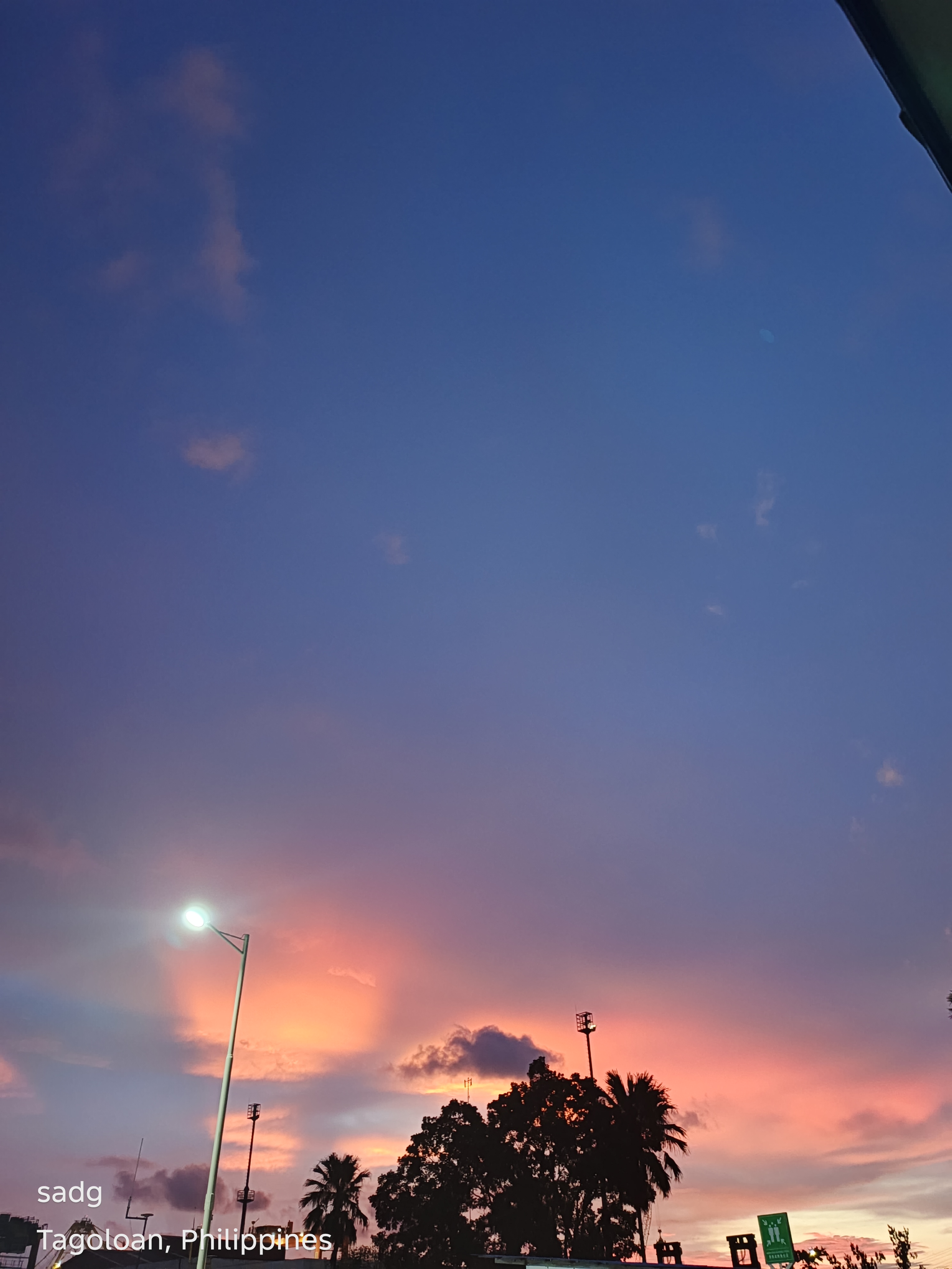
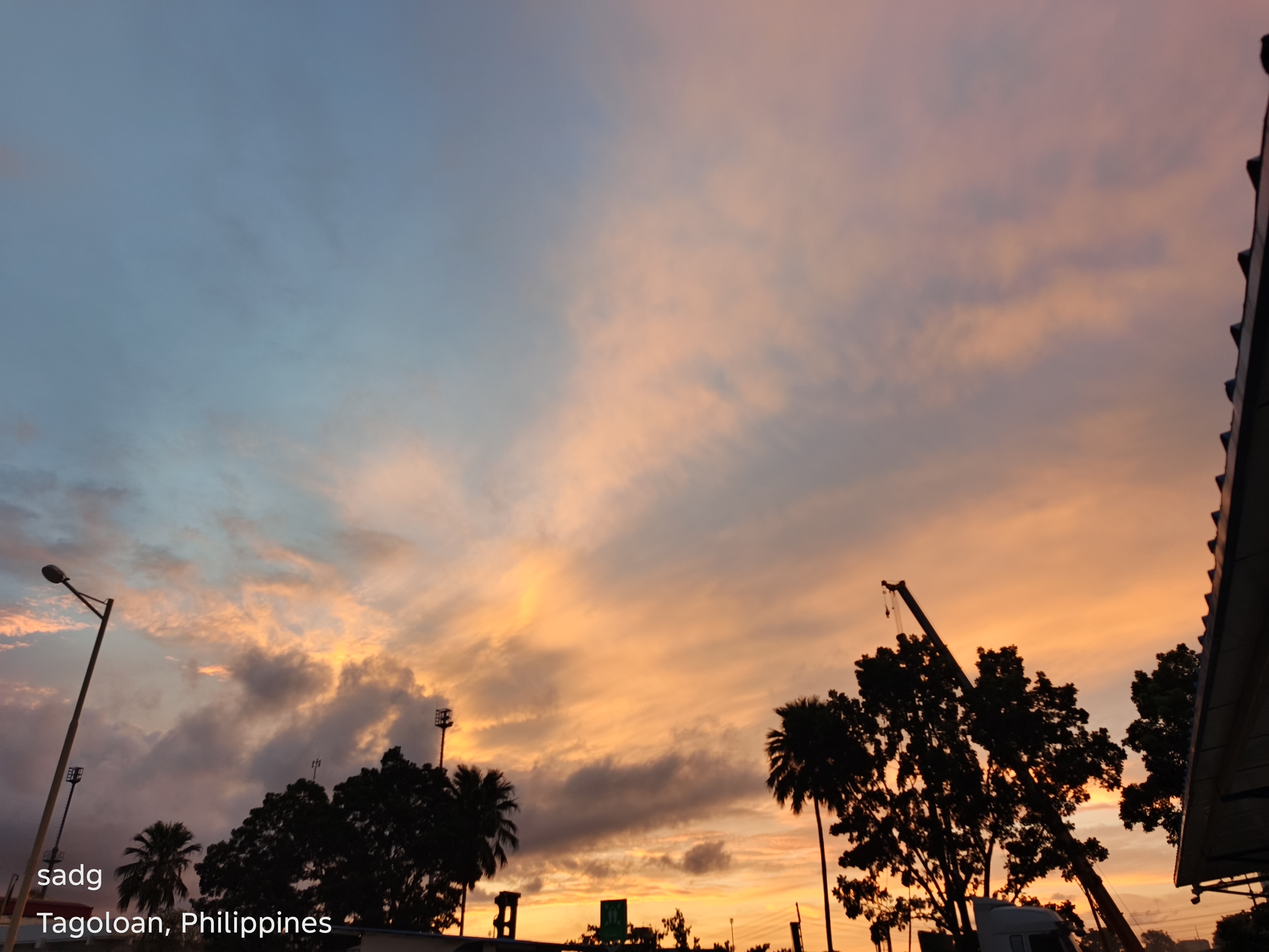
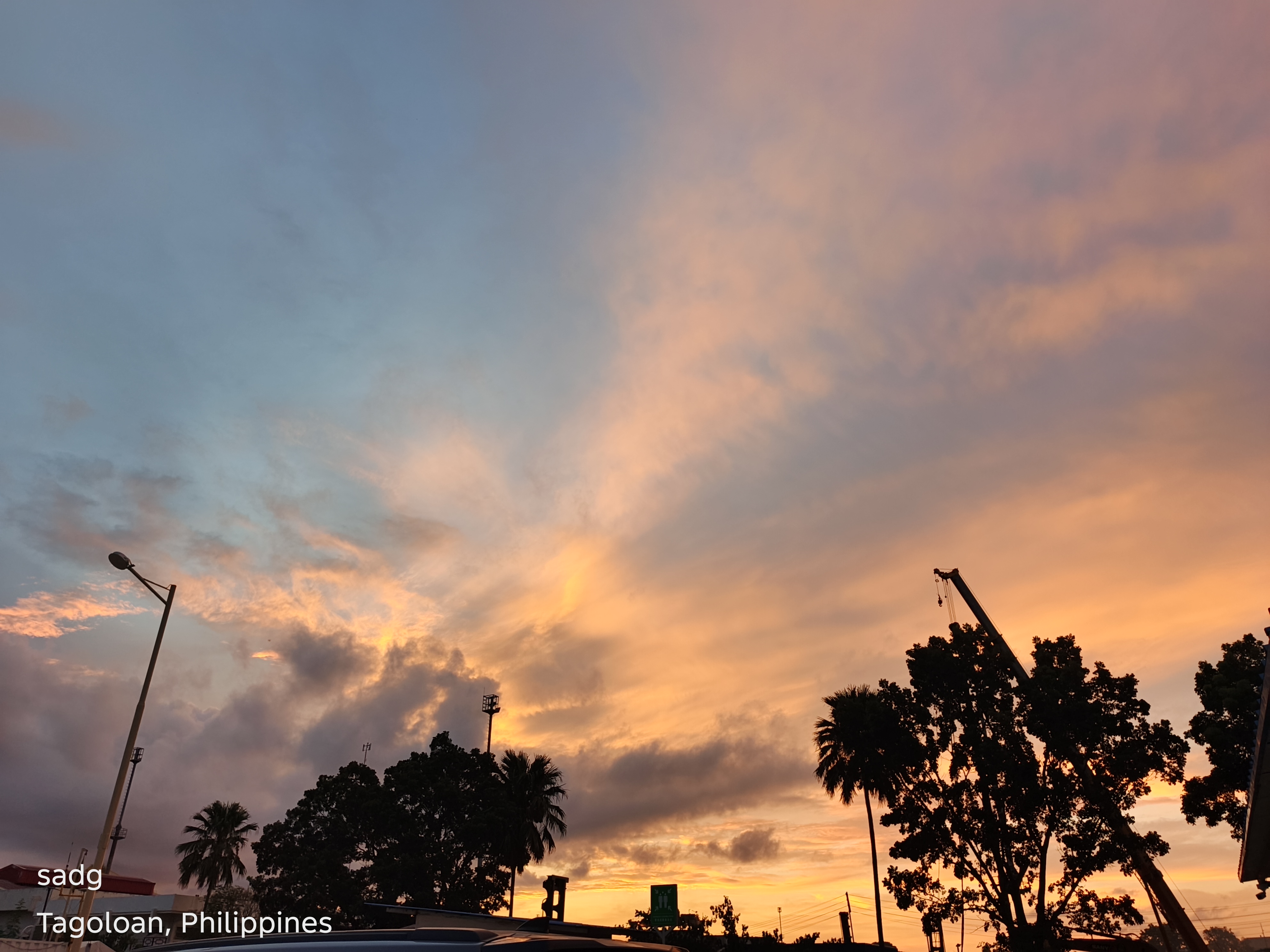
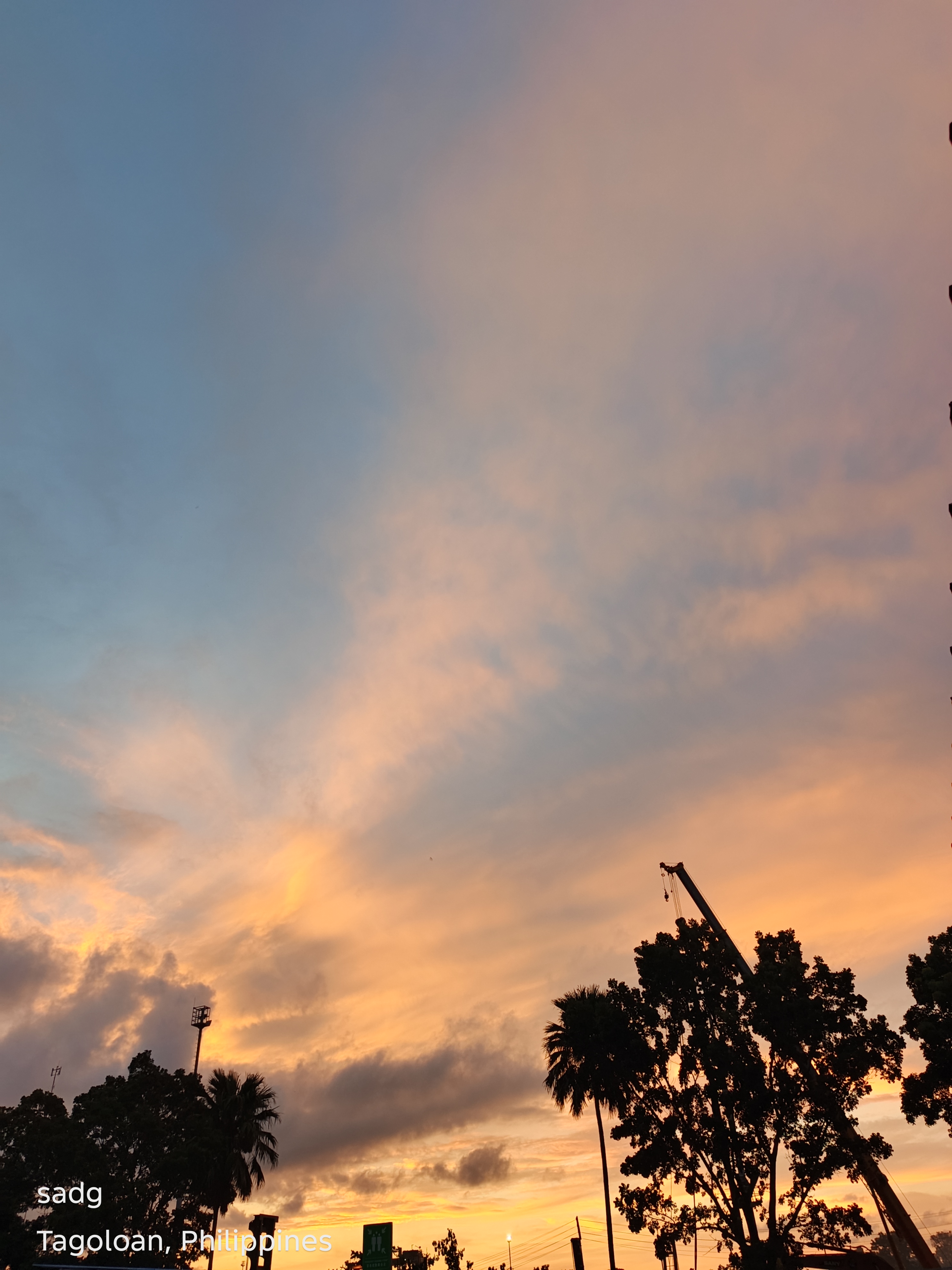
Puerto, Cagayan de Oro City
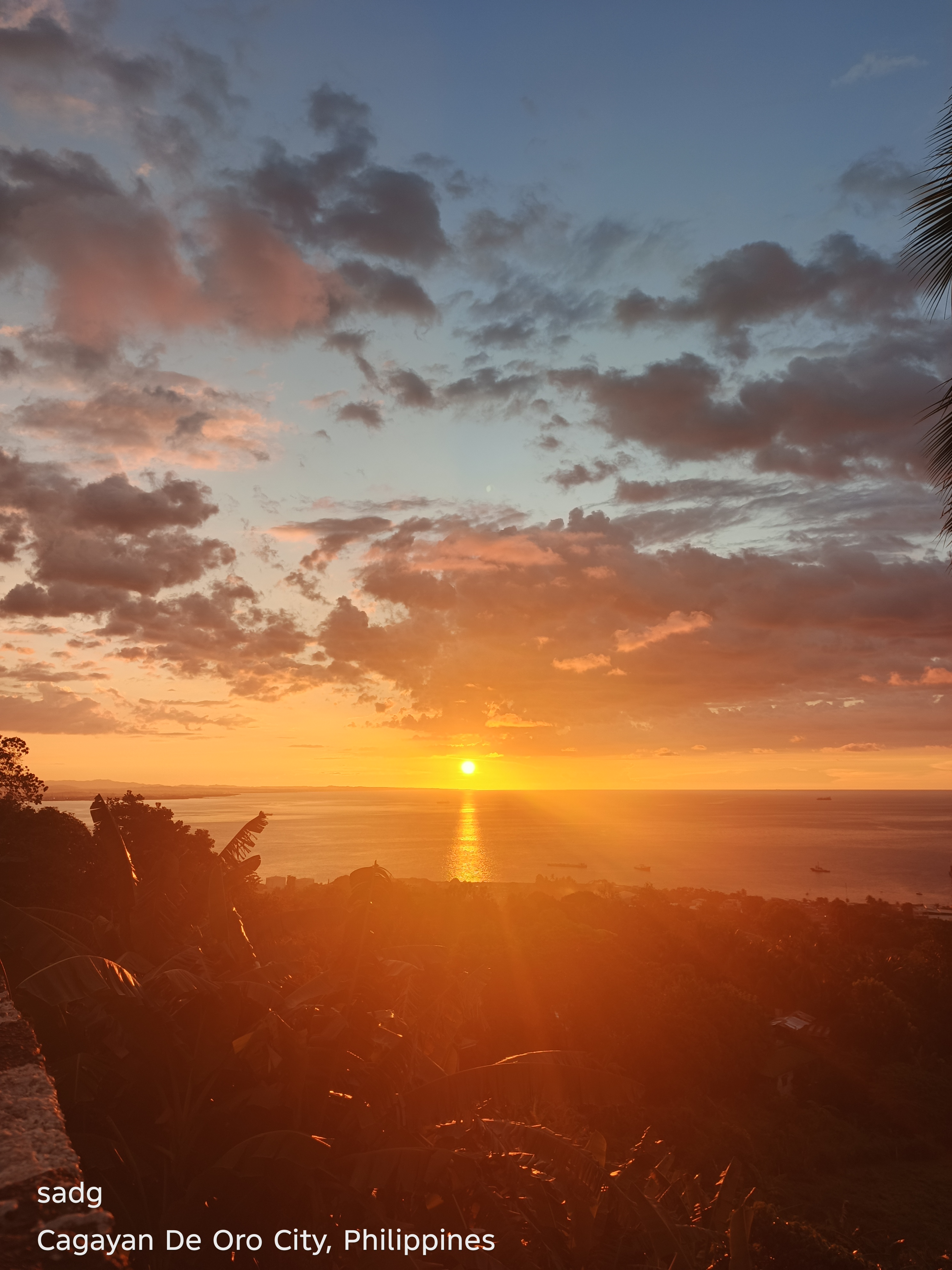
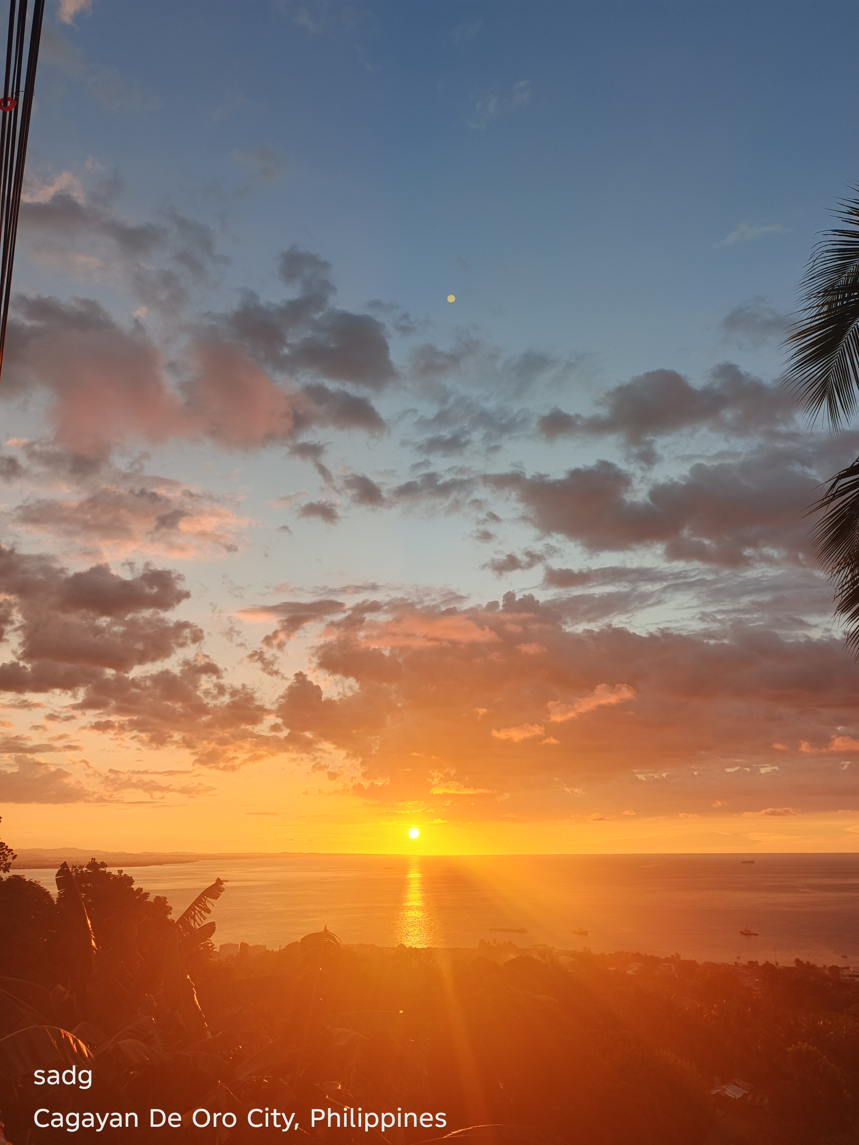
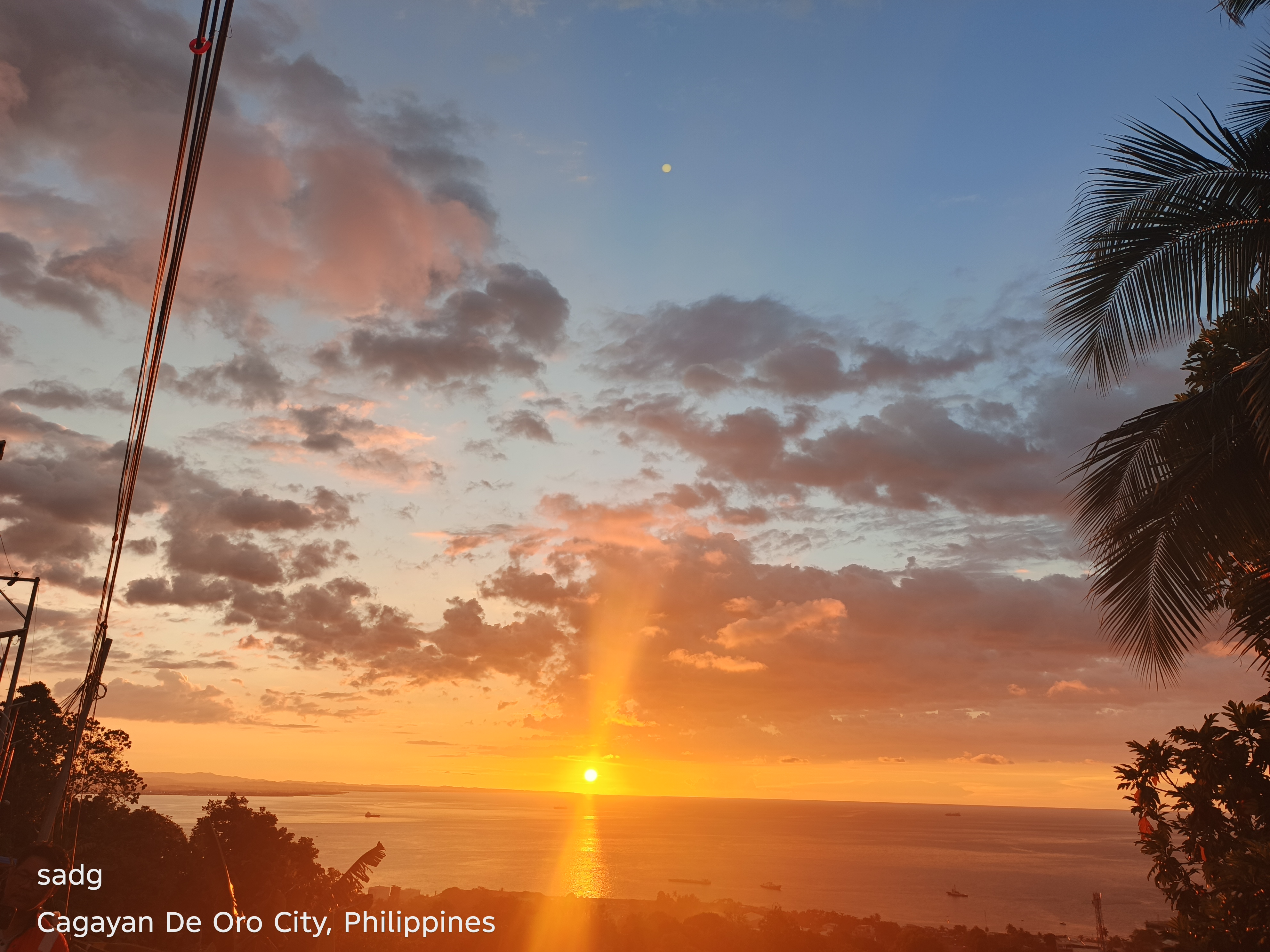
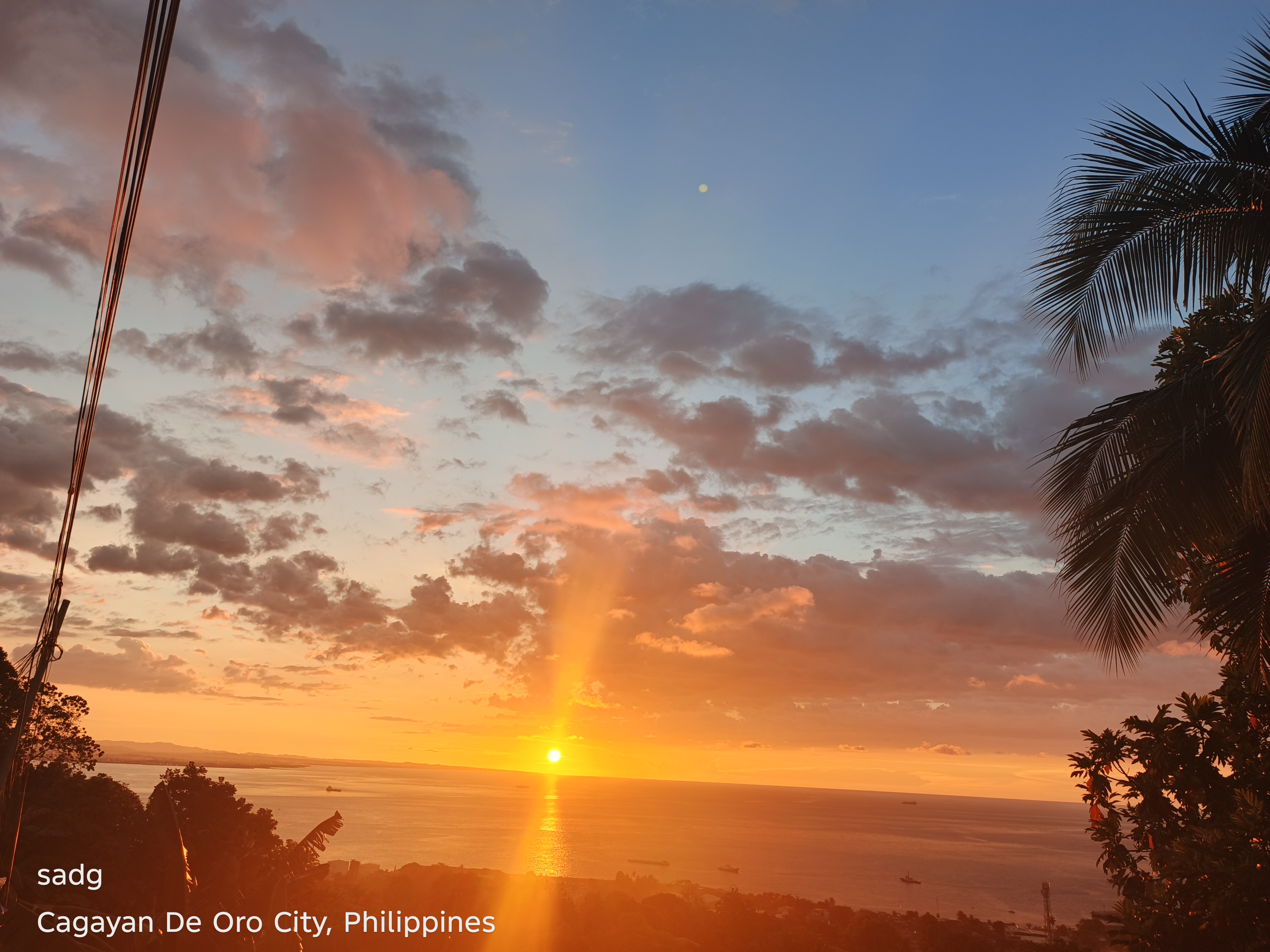
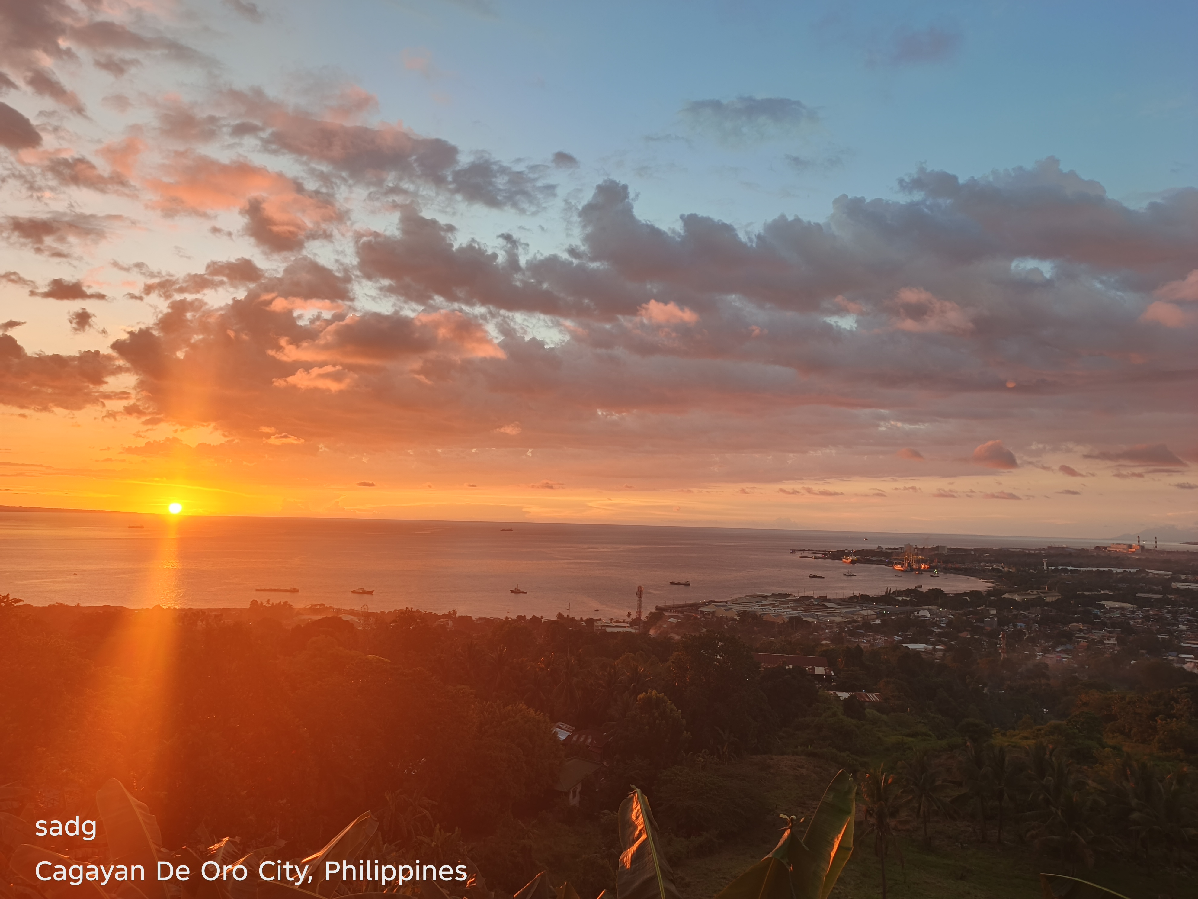
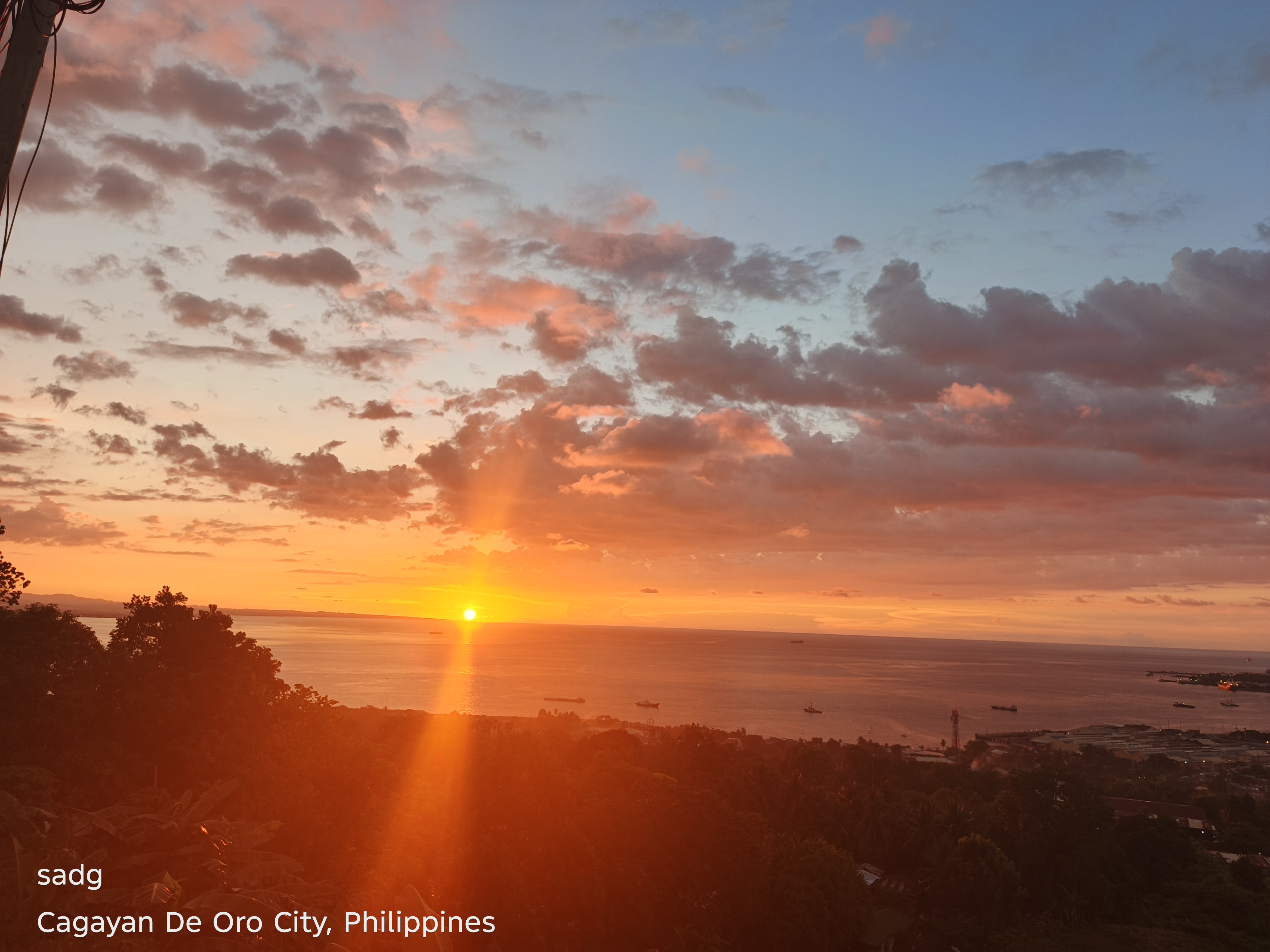
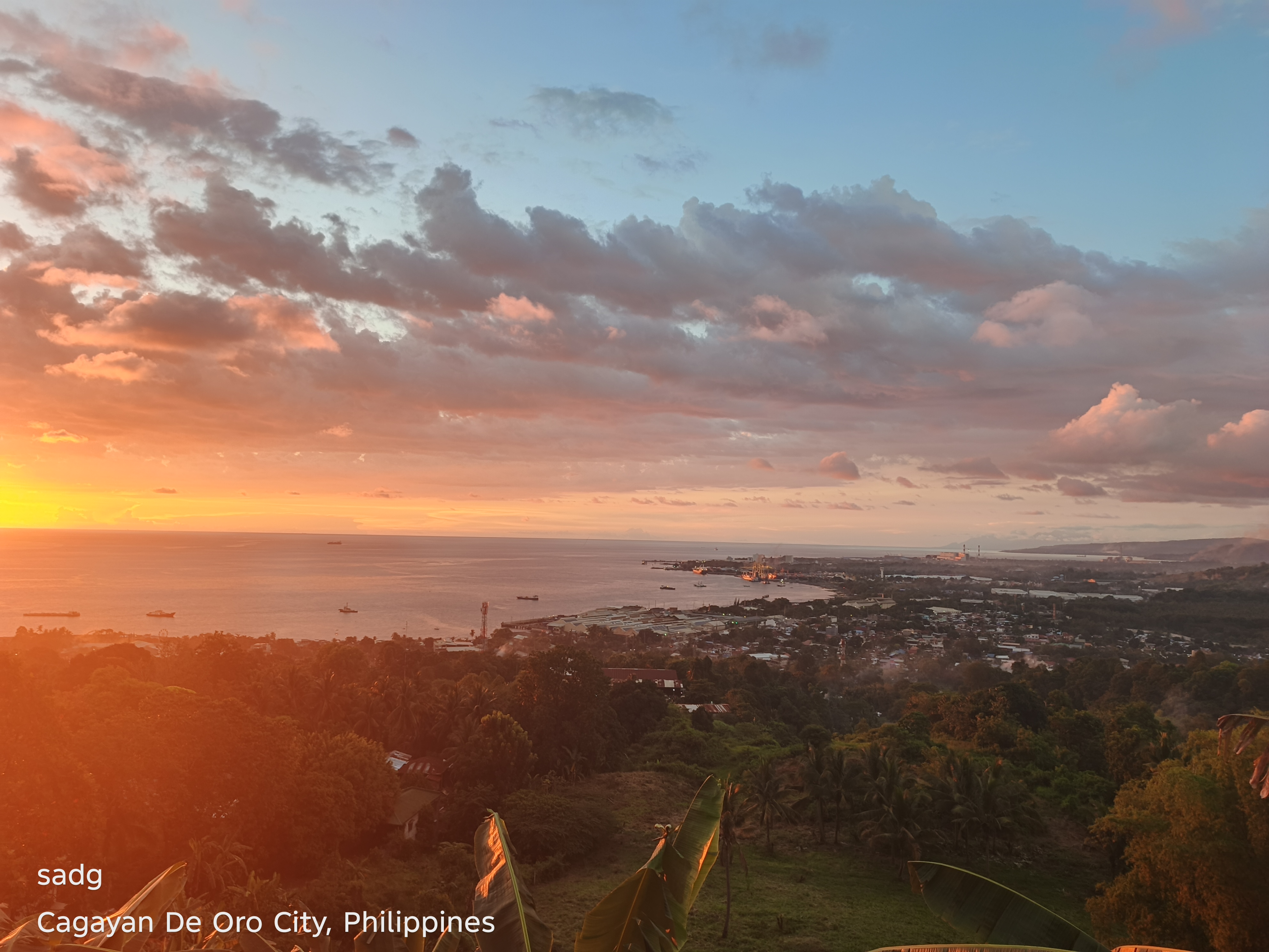
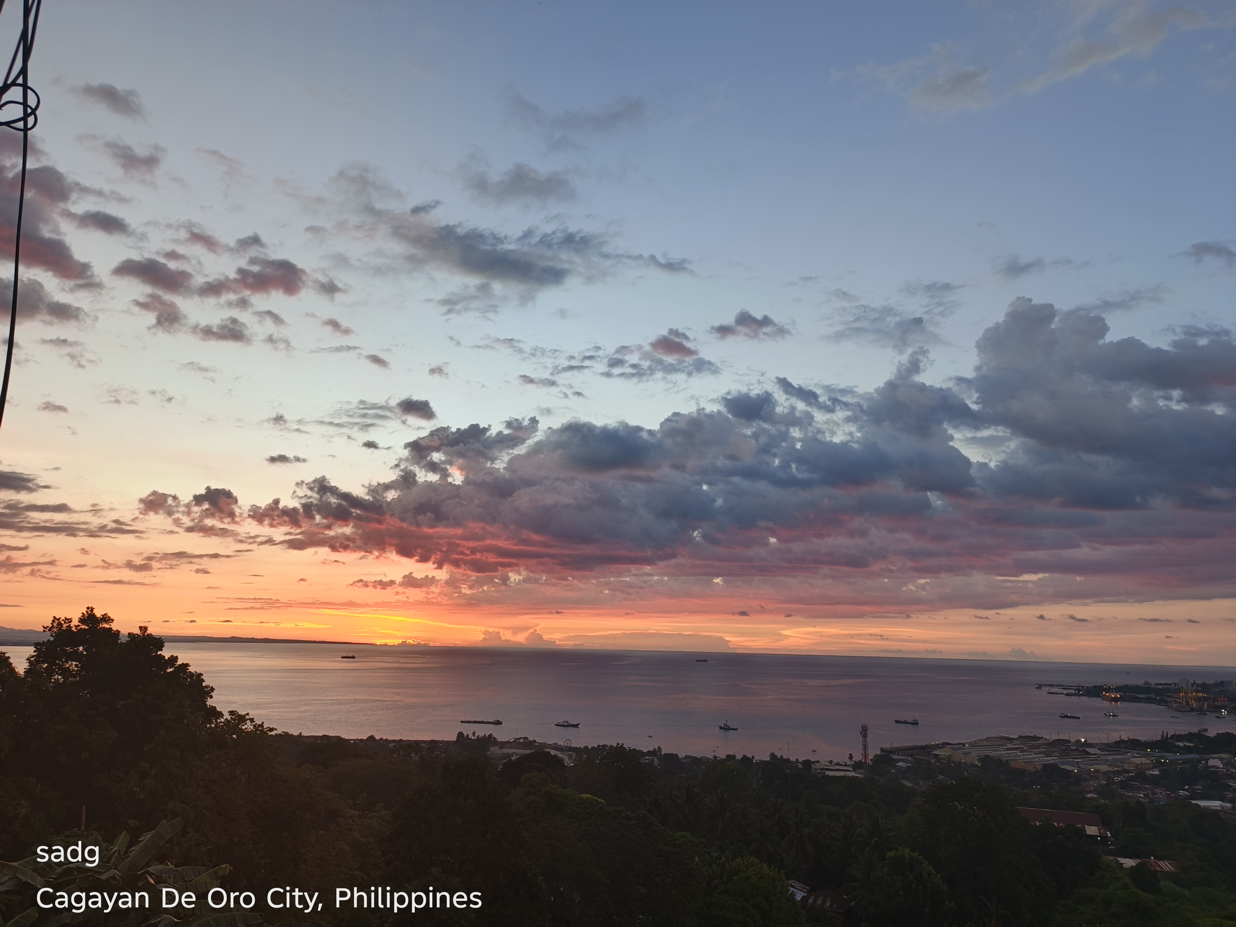
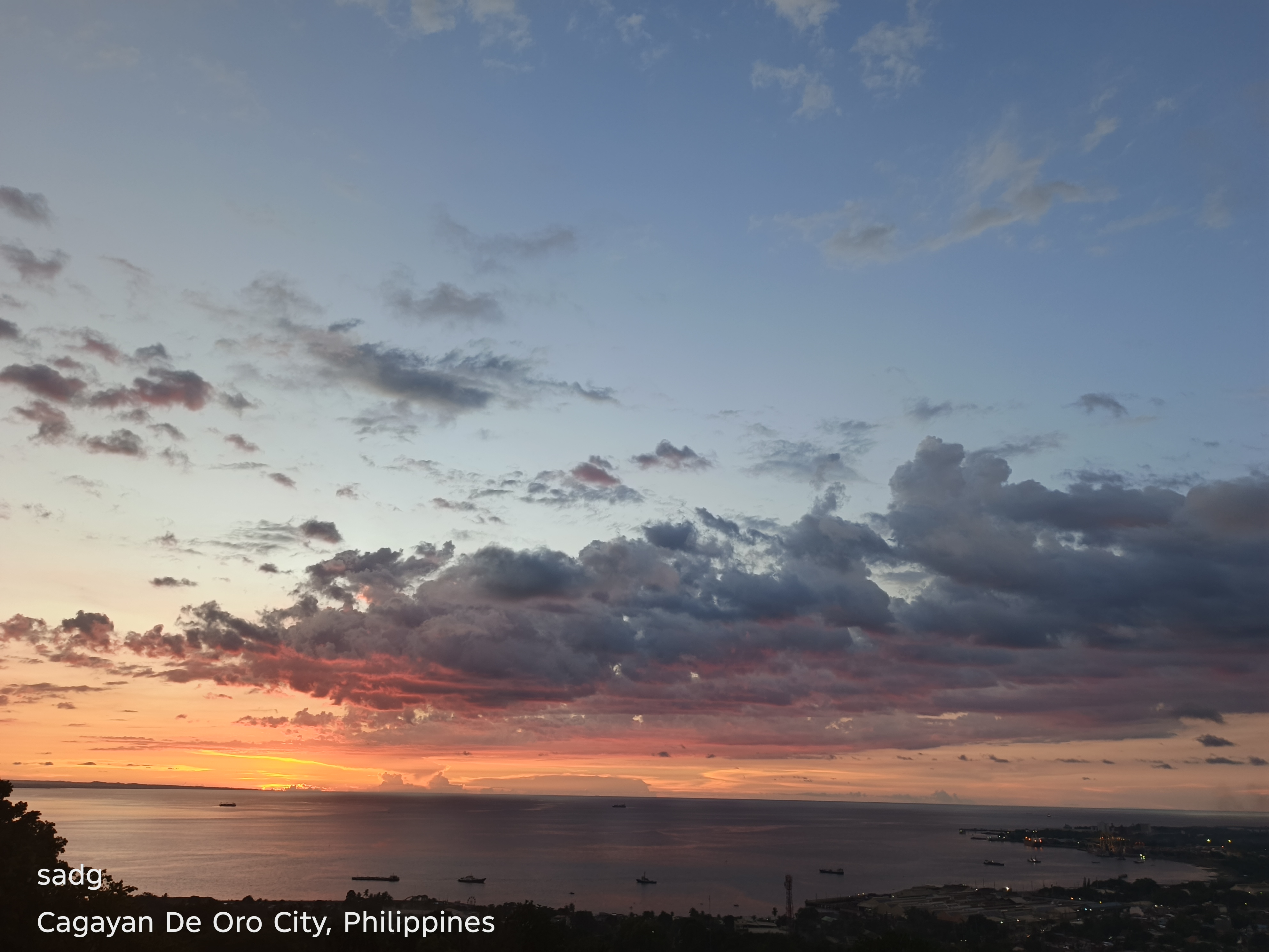
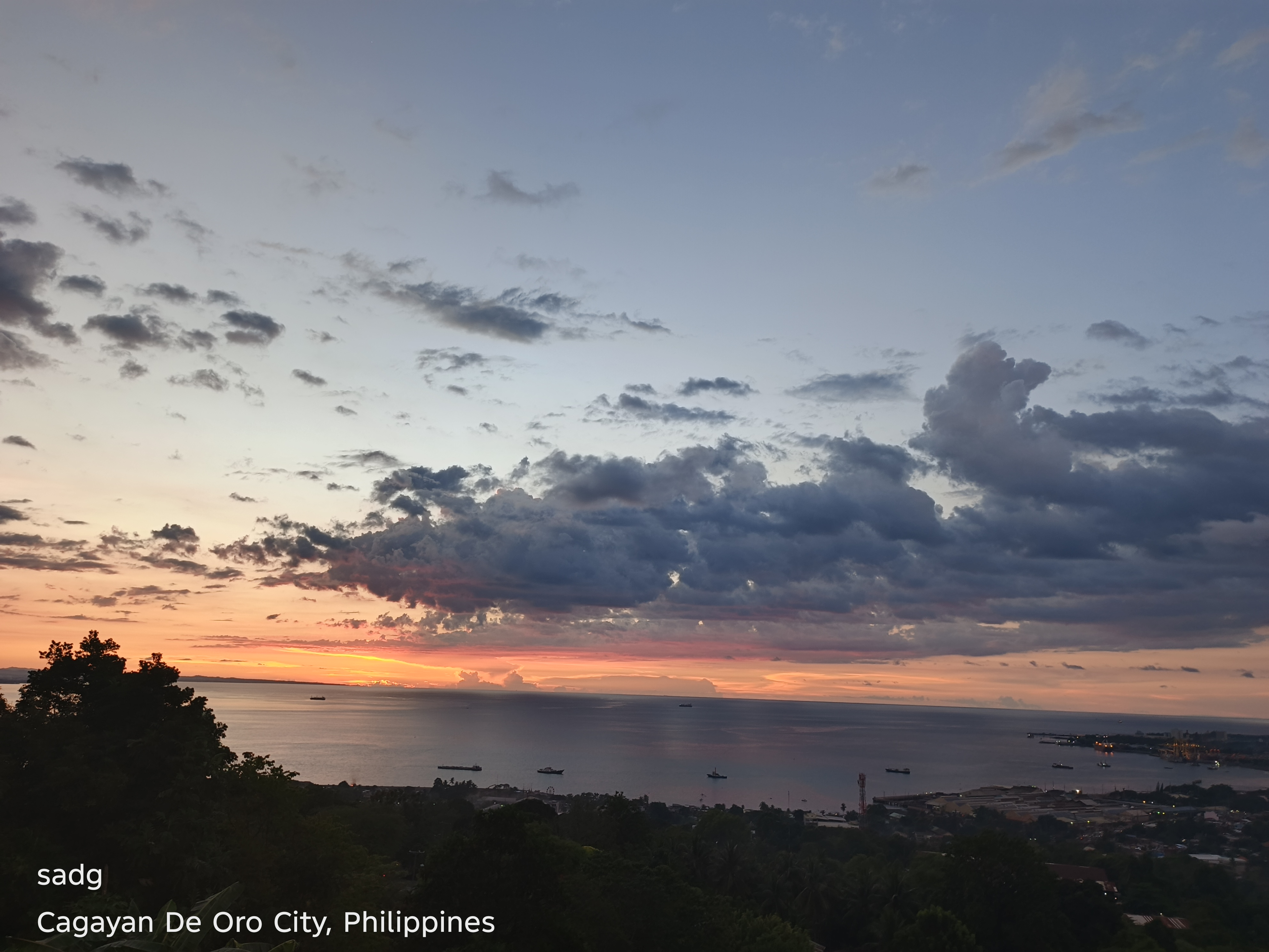
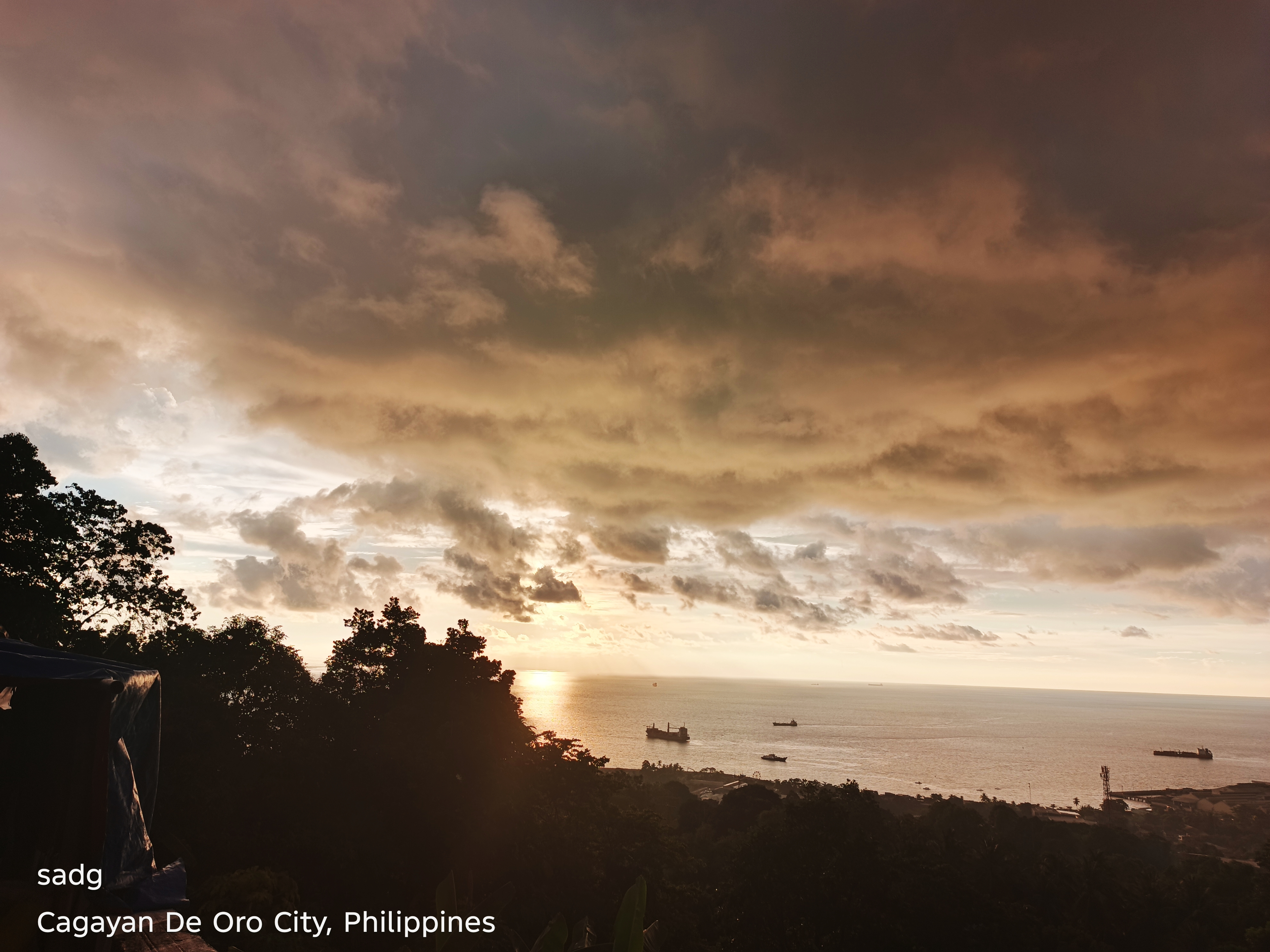
In Puerto, the image series emphasizes movement at the eastern edge of the city. The sky is observed through a corridor shaped by roads, coastal activity and urban growth. Repeated frames capture how rapidly evening color changes: orange and gold narrow toward the horizon, then recede into cooler tones. The photographs suggest a transitional landscape, where city, coast and transport remain visually connected.
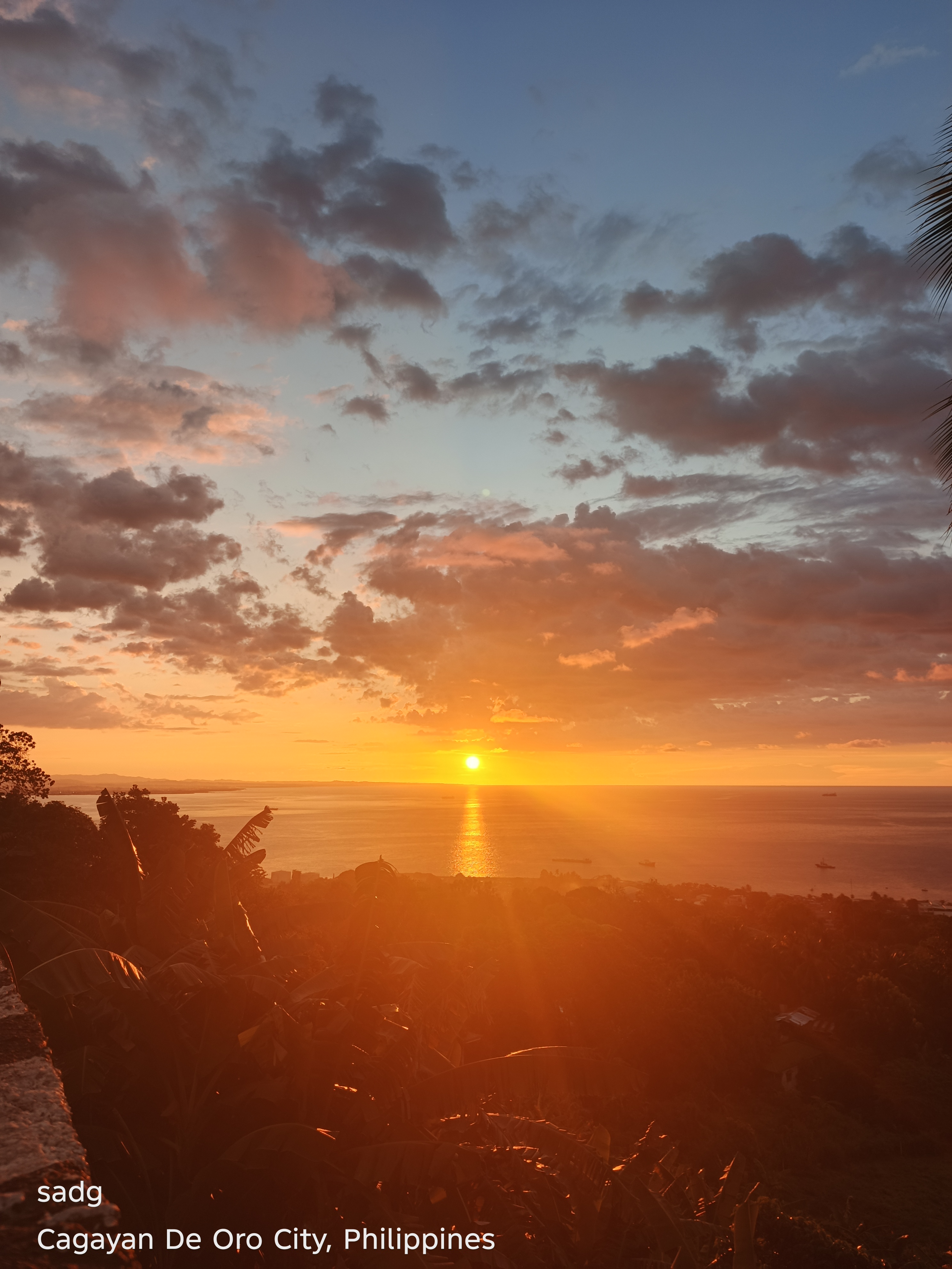
Puerto, Cagayan de Oro City - Continued
Continued visual sequence. The paired arrangement preserves the original location grouping and allows comparison of color, horizon, foreground, and the changing balance between natural and built forms.
Puerto, Cagayan de Oro City - Continued
Continued visual sequence. The paired arrangement preserves the original location grouping and allows comparison of color, horizon, foreground, and the changing balance between natural and built forms.
Puerto, Cagayan de Oro City - Continued
Continued visual sequence. The paired arrangement preserves the original location grouping and allows comparison of color, horizon, foreground, and the changing balance between natural and built forms.
Coastal Road, Cagayan de Oro City
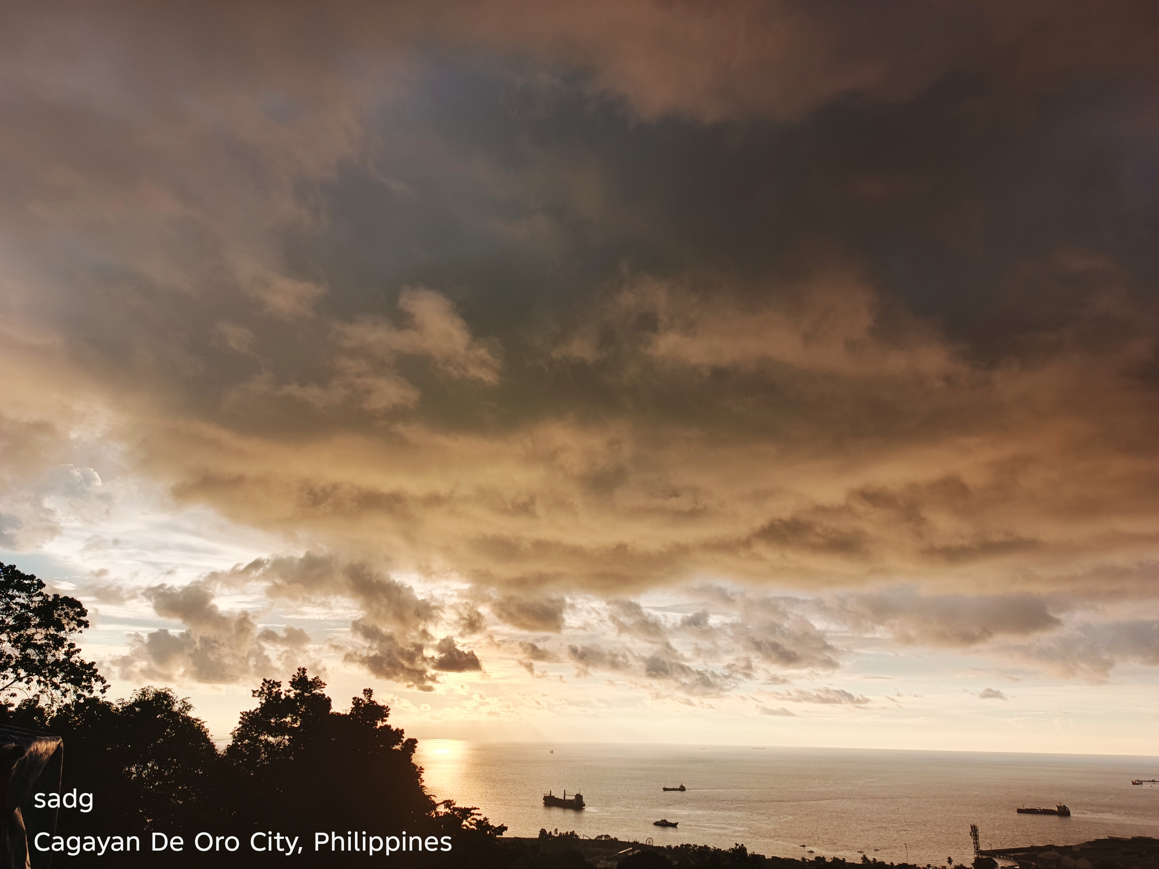
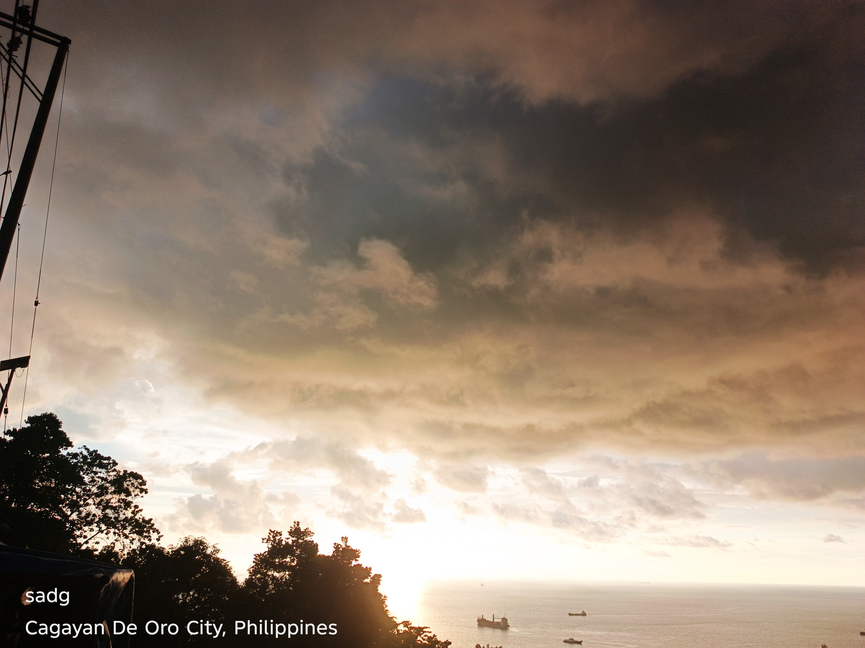
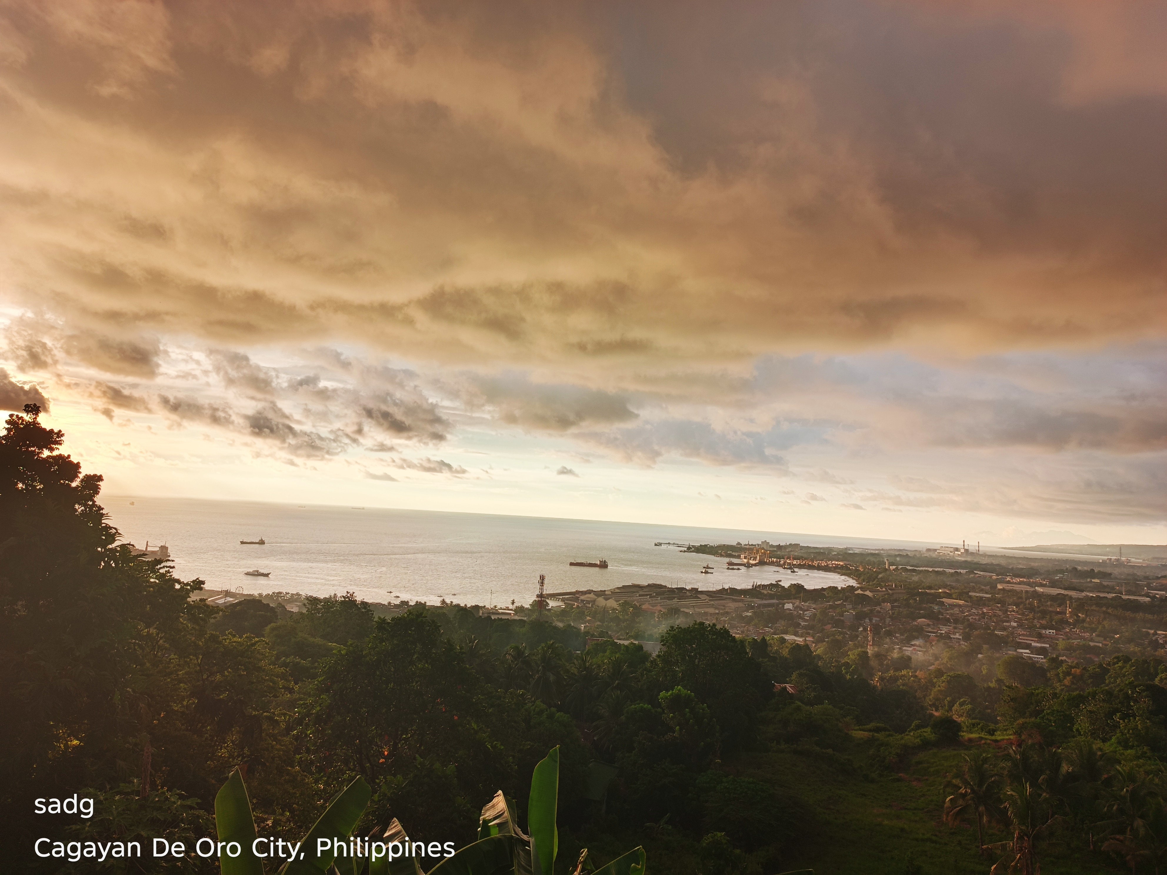
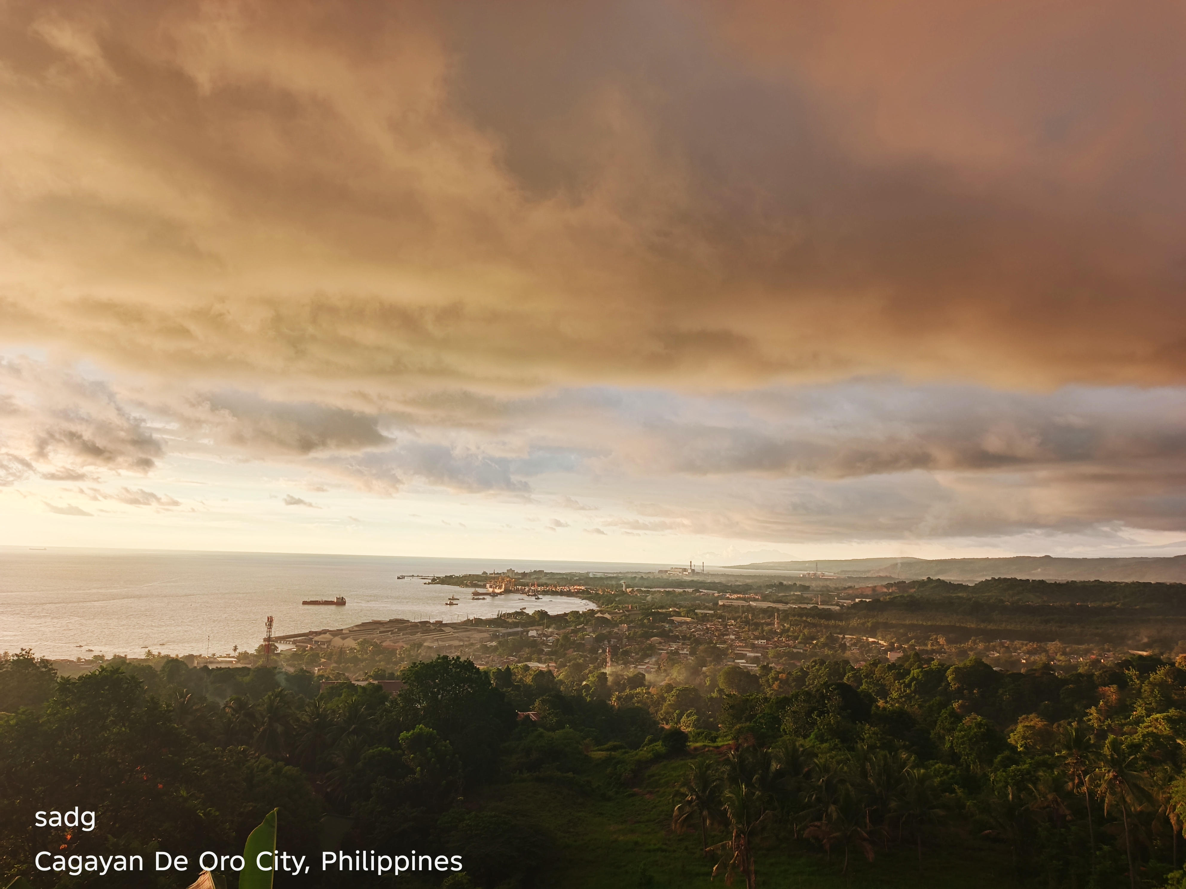
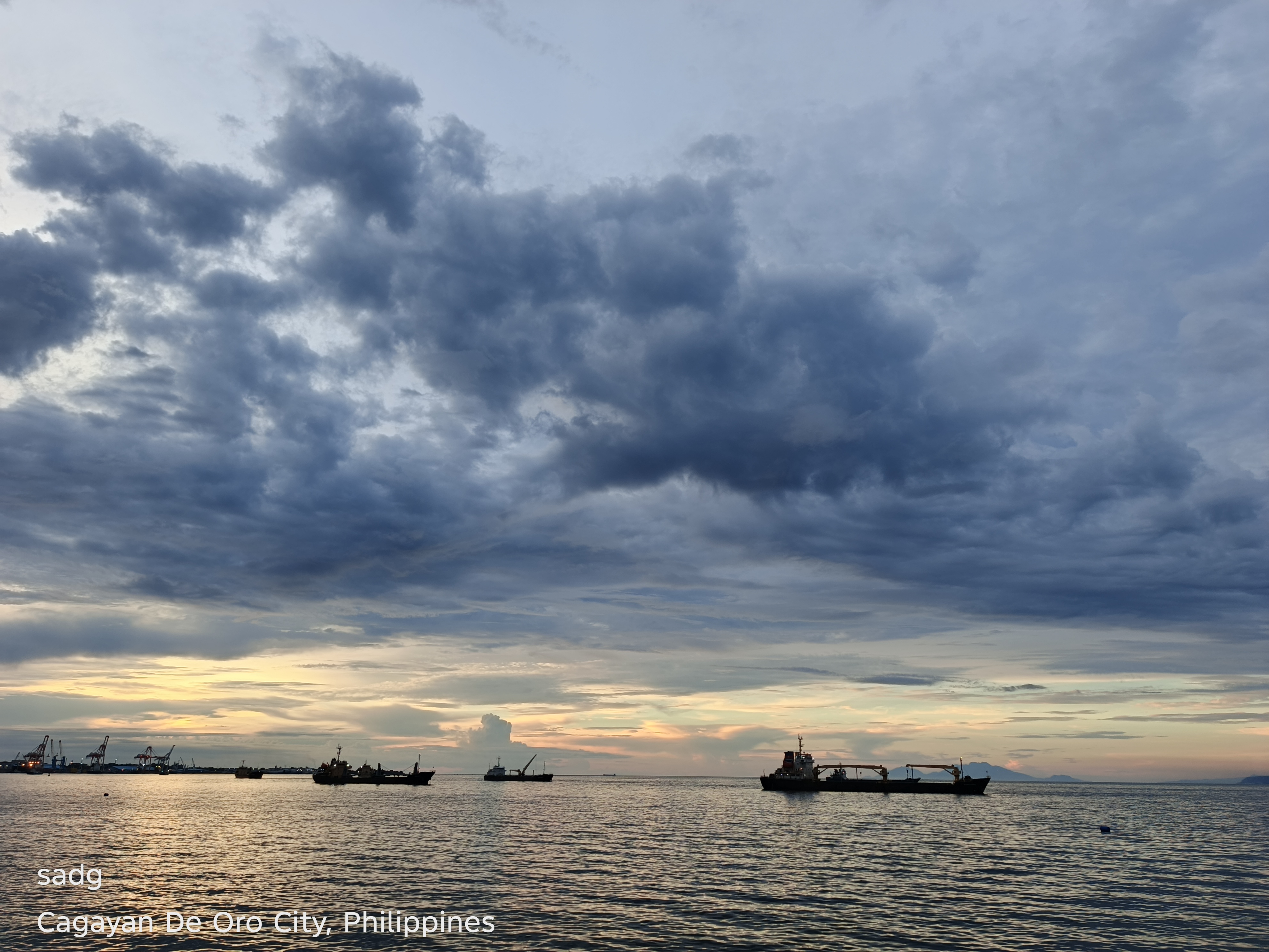
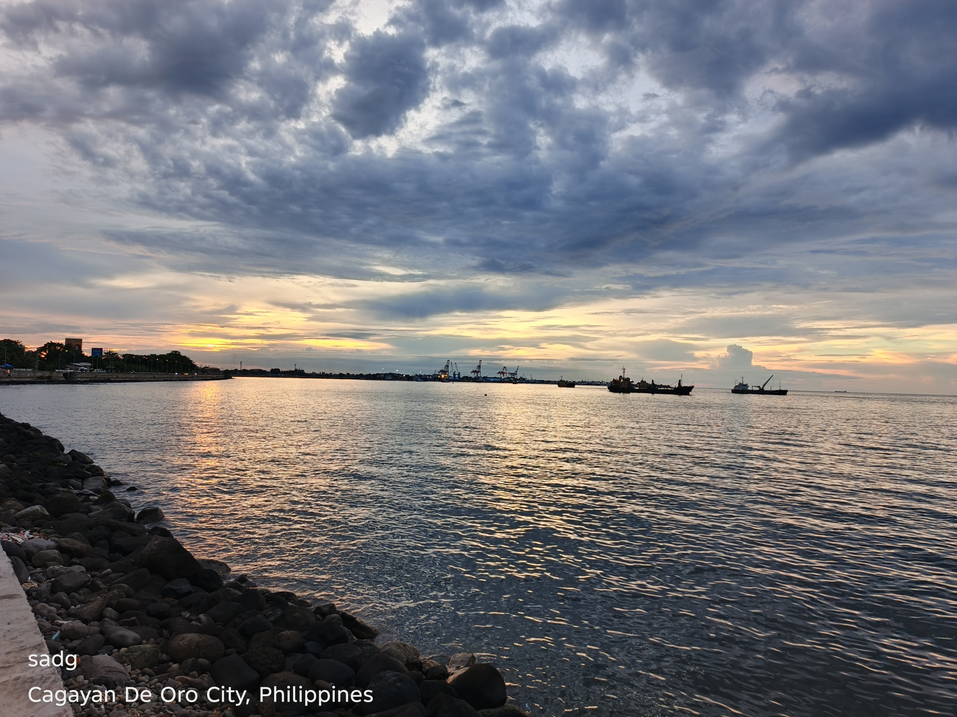
The Coastal Road photographs place the sunset beside infrastructure designed for movement. The road provides a long horizontal viewpoint, echoing the line of the sea. In these images, the evening becomes both destination and interval: people pass through, pause, and look outward. The scene demonstrates how public infrastructure can also create an informal platform for shared visual experience.
Malaiba, Casinglot, Tagoloan
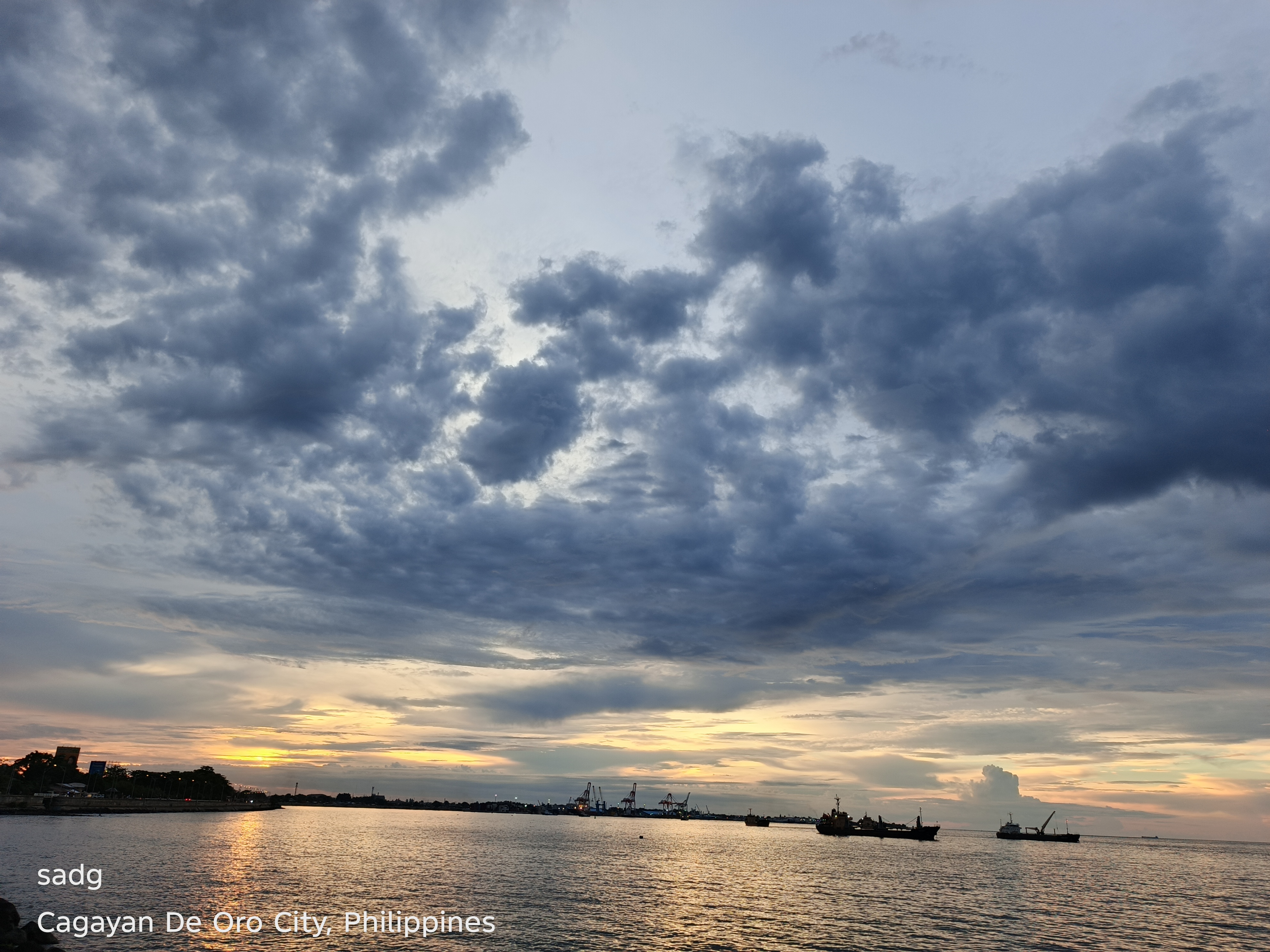
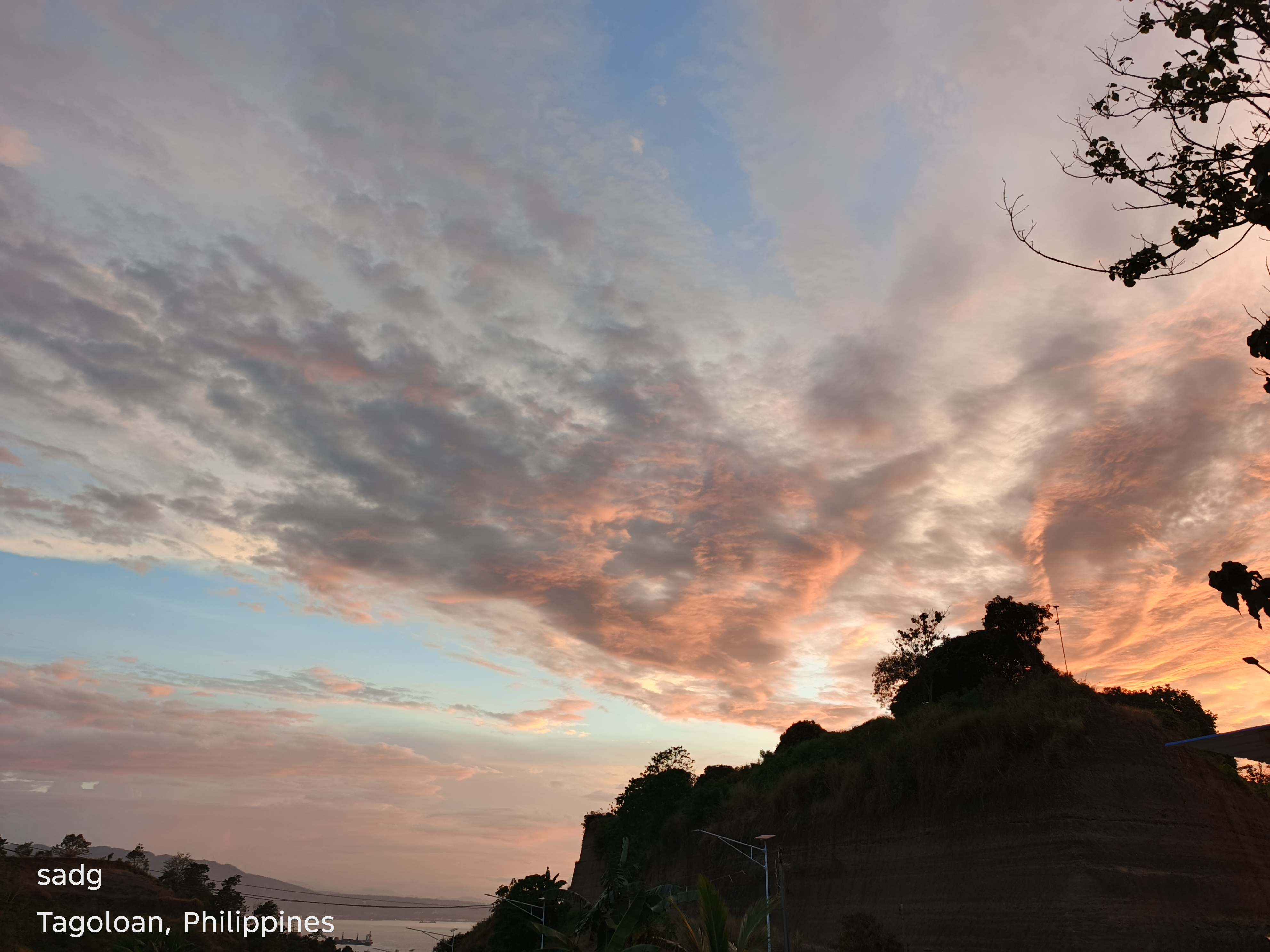
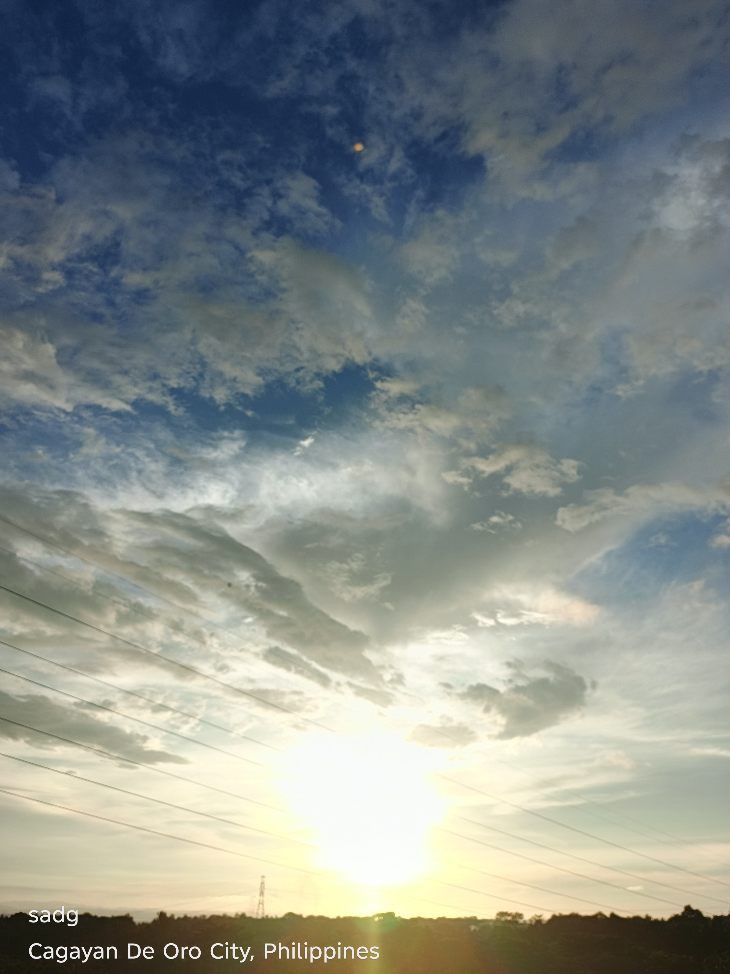
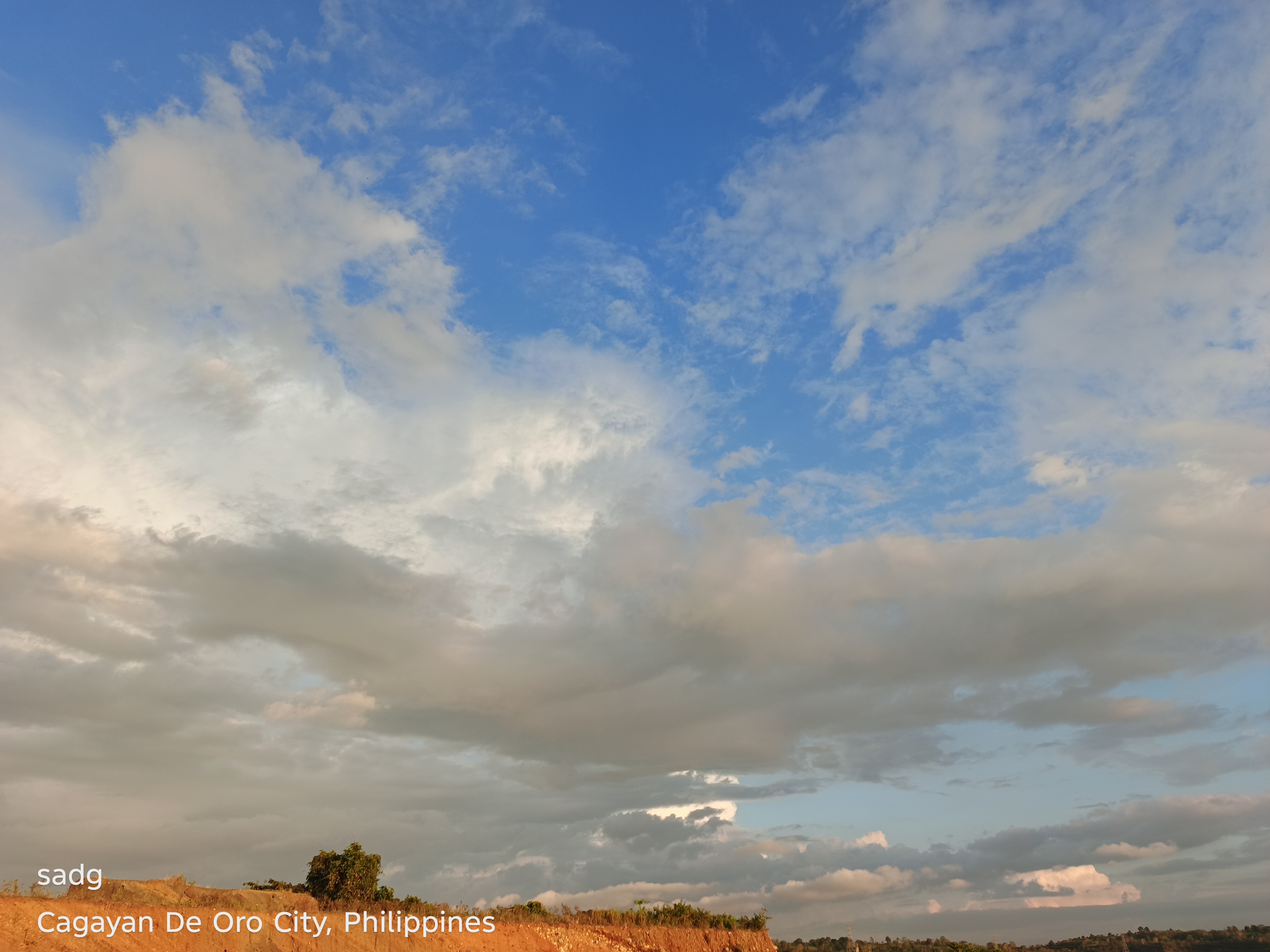
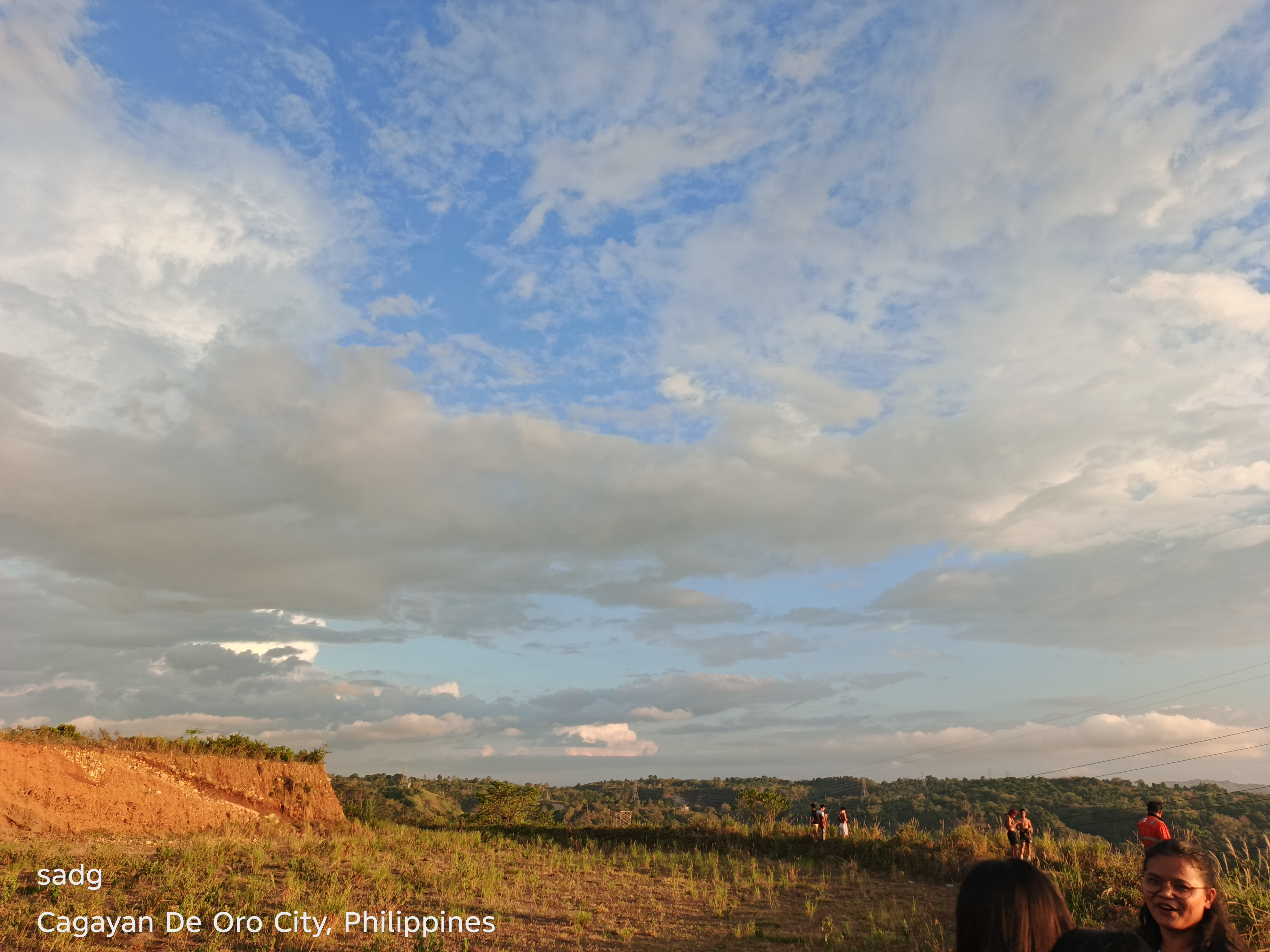
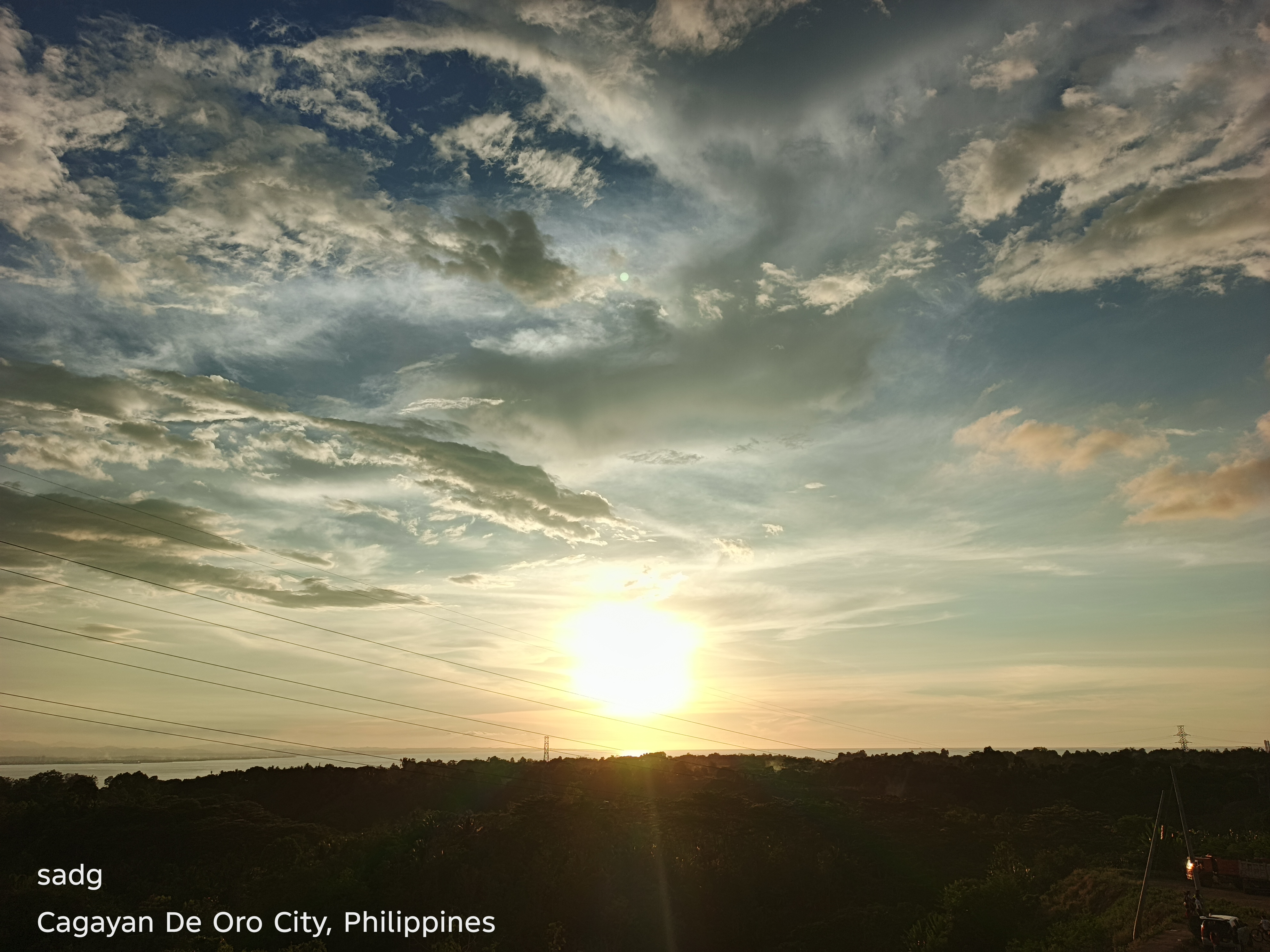
The Malaiba sequence closes the collection with a more elevated and layered view. Landforms, vegetation and distant light divide the frame into depth. The sunset appears less as a single glowing disk and more as atmosphere spread across terrain. This setting broadens the visual study beyond the immediate shoreline and shows how the same evening light can connect mountain, settlement and bay.

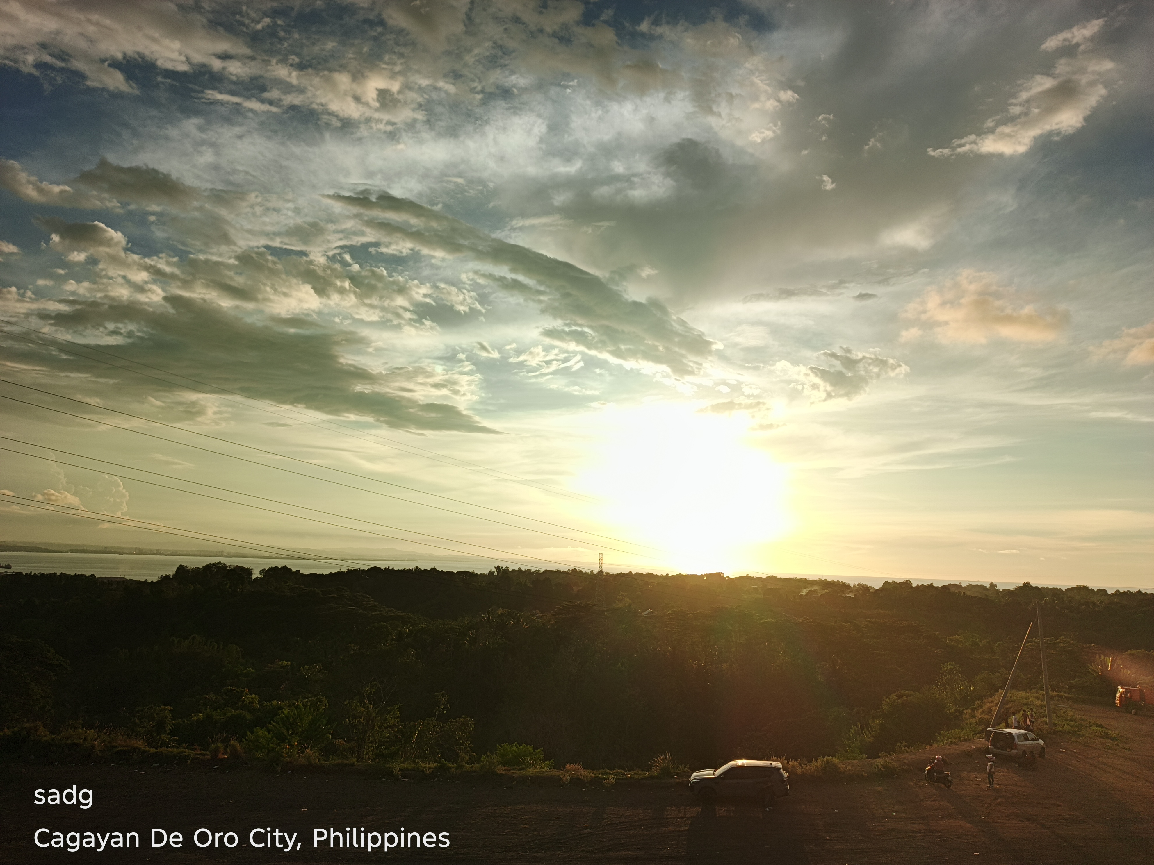
Malaiba, Casinglot, Tagoloan - Continued
Continued visual sequence. The paired arrangement preserves the original location grouping and allows comparison of color, horizon, foreground, and the changing balance between natural and built forms.
4. Cross-Location Findings
4.1 The horizon as a unifying structure
Across beaches, town centers, port facilities and roads, the horizon organizes the photographs. Even where the foreground changes dramatically, the meeting of sky and land or water creates continuity across the collection.
4.2 Industry and beauty are visually simultaneous
The MCT sequence is especially important because it does not require the removal of industrial structures to produce a compelling landscape. Cranes and equipment become part of the evening silhouette. The photographs therefore document coexistence rather than opposition.
4.3 Repetition creates evidence of change
A single sunset might be remembered as exceptional. A long sequence reveals variation. Clouds, color intensity, reflections and visibility change from frame to frame. Repetition turns personal appreciation into a more systematic record of place.
4.4 Everyday viewpoints matter
Most of the photographs originate from accessible, ordinary viewpoints rather than formally designated observation sites. This strengthens the article’s central theme: regional identity is built not only through landmarks, but also through moments noticed during daily life and work.
5. Discussion
Taken together, the photographs present sunset as a method of attention. The same light crosses places that are often separated conceptually: beach from port, town from road, industry from nature, and work from reflection. The collection does not argue that sunset resolves environmental or development pressures. Instead, it shows why careful observation matters. A landscape that is seen only as productive land, a transport route, or an industrial zone is incomplete. The evening view makes visible the coast’s shared spatial character and encourages a broader sense of stewardship.
This interpretation is consistent with published concern for Tagoloan’s coastal environment, where economic activity, shoreline processes and community life are closely connected [3]. The photographs add a personal-scale visual record to that larger conversation. Their value lies less in technical perfection than in continuity: they document how one observer learned a new province by repeatedly looking at its evening sky.
6. Conclusion
Misamis Oriental taught me that a sunset can be both ordinary and profound. It arrives above beaches and barangays, active terminals and city roads, mountains and coastal settlements. Each location gives the light a different foreground, yet the sky creates a shared visual language across the province.
This article began with photographs captured on a phone during the author’s first year in Misamis Oriental. Finalized as a visual research article, the collection now serves a wider purpose: it preserves a personal record, identifies patterns across locations, and invites readers to look more carefully at landscapes shaped simultaneously by nature, infrastructure and community. The strongest conclusion is also the simplest: places reveal more of themselves when we return to them, observe them repeatedly, and allow everyday beauty to become evidence of belonging.
Acknowledgment
The author gratefully acknowledges the communities and working landscapes of Tagoloan and Cagayan de Oro that provided the settings for this photographic study. All photographs in this article are from the author’s personal collection.
References
[1] PhilAtlas. “Tagoloan, Misamis Oriental Profile.” Accessed 24 October 2026.
[2] Mindanao Development Authority. “Invest in Mindanao - PHIVIDEC.” Accessed 24 October 2026.
[3] Gomez, F. W., Sardido, J. M., Dignos, D. D., and Polinar, R. P. “Tagoloan, Misamis Oriental, Northern Mindanao, Philippines: Shoreline and Its Implication.” Global Scientific Journal 13(11), 2025.
[4] Kagay-anon.com. “Cagayan de Oro Coastal Road.” Accessed 24 October 2026.
Author Note
Mingae Gaces Samontina is a Document Controller and project-support professional whose work in construction and infrastructure has shaped an interest in documenting the human and visual dimensions of working environments. This article combines professional place awareness with personal photography and reflective research writing.
About the Creator
Domingo Añasco-Gaces Samontina, Jr.
.Professional Member of the Mechatronics and Robotics Society of the Philippines
.Certified Documented Information Controller with TUV Rheinland Qualifications
.Master of Science in Engineering (on-going) with Professional Teacher Certificate
Enjoyed the story? Support the Creator.
Subscribe for free to receive all their stories in your feed.
Comments
There are no comments for this story
Be the first to respond and start the conversation.