
Are the Rocky Mountains in the Wrong Place?
Uncovering Truths: The Actual Location of the Rocky Mountains

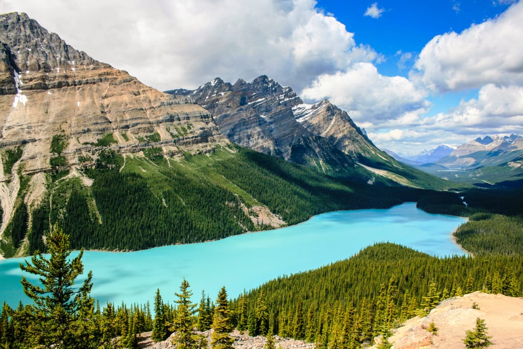
Mountain ranges typically form where tectonic plates collide. This movement causes rock to be pushed up, creating the mountains along the boundary. However, the Rocky Mountains in North America are in the middle of the continent, far from any plate boundary. This has sparked a debate among geologists about why they are where they are. Let's explore what we know and what still remains a mystery about the formation of this iconic mountain range.
The Rocky Mountains began rising about 125 million years ago during the Sevier Orogeny, which is just a fancy term for a mountain building event. This event spanned from Alaska to Mexico, folding and fracturing layers of sedimentary rocks to create mountains. Another important mountain-building event was the Laramide Orogeny, which shaped the range in the United States by breaking and piling up hard rocks like granite. This event took place between 80 and 55 million years ago.
The seafloor of the eastern Pacific used to be made of two oceanic plates that were sliding under North America. On the other side of the continent, the Atlantic Ocean was opening, pushing North America westward. Even though the Rockies are far from the Pacific plate boundary, geologists agree that this subduction zone built the mountains. They have come up with four hypotheses to explain how this could have happened so far from the coast.
One theory is retroarc thrusting, where the North American plate was pushing so hard to the west that it got stuck instead of slipping smoothly beneath the oceanic plate. This caused the continent to crumple. Some think the push came from seafloor spreading in the Atlantic Ocean, but the rates don't quite match up. Regardless of where the push came from, the western section of North America would need to be strong enough to withstand the collision, but there are faults out west that suggest it may not be. Why didn't the crumpling happen there instead of where it did, east of the Rockies?
So, here's another idea: orogenic float. It's possible that some faults caused a section of the lower crust to detach from the rest of the continent. This section could then float, not really connected to anything. This floating could have allowed the force of the Pacific seafloor subducting to pass by it and continue inland to the east. But, if this did happen, where is this detached crust now? It would have eventually collided with the Rockies, but we don't see any evidence of that happening when it should have. Just something to consider!
So, there's this thing called a transpressional collision. It's basically when a fault moves side to side and together at the same time. Picture North America splitting into two parts, with a main continent in the east and a thin “ribbon” continent in the west. Rocks near the Canadian Rockies suggest they formed far to the south. This supports the idea of a north-south transpressional fault. The ribbon continent would have moved northward and collided with North America, building the mountains. The only issue is that there should have been an ocean between the two before the collision, but we don't see the volcanic evidence for that. Interesting stuff!
Did you know that oceanic plates have a lot of water in them? When they are under heat and pressure, this water gets released. The water lowers the melting point of the surrounding rocks, creating magma. So, when a plate subducts, it tends to create volcanoes. Interestingly, in this case, they could actually end up east of the Rockies, in the Great Plains. We call it the Great Plains because there are a notable lack of volcanoes and volcano-shaped objects there.
The final idea, flat-slab subduction, is quite popular but still debated. Normally, subducting plates plunge steeply into the mantle to form magma. However, with flat-slab subduction, a younger and hotter oceanic plate may not sink easily, sliding along underneath North America before producing magma. This melted rock could have formed the Rockies further inland than expected. Additionally, the prolonged scraping of one plate under another could have caused stress and crumpling in the same area. While this hypothesis is widely accepted, it still has its own challenges to overcome.
There are remnants of ancient volcanoes to the west of the Rockies in both Canada and Mexico, which suggests that's where the subducting plate was producing magma. This is unexpected based on the hypothesis.
We don't have a definite answer yet, as none of the models can fully explain all the evidence. Some studies suggest a combination of different mechanisms may be needed to explain mountain formation. It's possible that one hypothesis built the first mountains, and another took over later. Different sections of a mountain range may have involved different processes. For example, a flat slab subduction theory explains some mountains but not others. Earth's processes can be unpredictable, and reconstructing past events is challenging. Despite the complexities, the mountains create great skiing opportunities.
About the Creator
Enjoyed the story? Support the Creator.
Subscribe for free to receive all their stories in your feed. You could also pledge your support or give them a one-off tip, letting them know you appreciate their work.
Keep reading
More stories from Kathy Houston and writers in Earth and other communities.
The Last Living Thing on Earth
Life on Earth is not going to last forever. The Sun will eventually die in about 5 billion years, wiping out everything here. But before that happens, life will probably be gone. In the past, things like volcanoes, asteroids, and extreme climate change have almost wiped out all life. And there could be even worse things coming, like a nearby supernova or nuclear war. That wouldn't be great for life on Earth. So, what would be the last living thing? Scientists have thought about this a lot, and despite what some may think, it definitely won't be cockroaches.
By Kathy Houston22 days ago in Earth
Whispers of the Forest
In the heart of an ancient forest, where sunlight trickled through a canopy of emerald leaves and the air was thick with the scent of pine and damp earth, there was a place where time seemed to stand still. Here, among the towering trees and moss-covered stones, nature whispered its secrets to those who listened.
By Maribel Golosino4 days ago in Earth


Comments
There are no comments for this story
Be the first to respond and start the conversation.