
The Role of Mobile Mapping Surveys in Disaster Management and Emergency Response
Mobile Mapping Surveys in Disaster Management
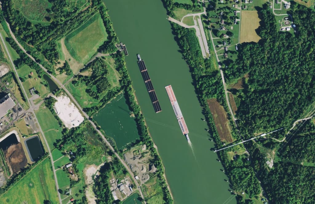
Disaster management and emergency response are critical for minimizing the impact of natural or man-made disasters on communities. In recent years, mobile mapping surveys have emerged as powerful tools in these endeavors, offering real-time data collection and analysis capabilities. By leveraging advanced technologies such as GPS, LiDAR, and imagery capture, mobile mapping surveys provide valuable insights for disaster management and emergency response efforts. This article explores the transformative role of mobile mapping surveys in disaster management, highlighting their benefits, applications, and potential for enhancing preparedness and response strategies.
Rapid Damage Assessment and Situational Awareness:
Mobile mapping surveys play a crucial role in rapid damage assessment and situational awareness during and after disasters. By capturing high-resolution geospatial data, including aerial imagery and 3D point clouds, in affected areas, emergency responders can quickly assess the extent of damage to infrastructure, buildings, and critical facilities. This real-time information enables them to make informed decisions, allocate resources effectively, and prioritize response efforts. Mobile mapping surveys also aid in identifying hazards, such as blocked roads or damaged power lines, facilitating safe and efficient rescue operations.
Search and Rescue Operations:
Mobile mapping surveys assist in search and rescue operations by providing accurate and up-to-date information about affected areas. By combining real-time location data, topographic information, and imagery, emergency responders can identify optimal routes, access points, and areas of interest for rescue operations. Mobile mapping surveys also help in detecting trapped individuals, assessing the stability of structures, and planning evacuation routes. This information enhances the efficiency and effectiveness of search and rescue operations, saving valuable time and potentially saving lives.
Resource Allocation and Logistics Planning:
Efficient resource allocation and logistics planning are vital during disaster response efforts. Mobile mapping surveys offer valuable insights into the distribution of affected populations, infrastructure damage, and the availability of resources and services. By integrating geospatial data with real-time data on emergency supplies, medical facilities, and evacuation centers, emergency managers can make data-driven decisions on resource deployment and logistics planning. Mobile mapping surveys enable the optimization of response efforts, ensuring that resources are allocated to areas with the greatest need and that aid is delivered promptly.
Hazard Mapping and Risk Assessment:
Mobile mapping surveys aid in hazard mapping and risk assessment, supporting proactive disaster management strategies. By capturing data on natural features, land cover, and terrain, emergency managers can identify areas prone to specific hazards, such as floods, landslides, or wildfires. Mobile mapping surveys provide valuable information for vulnerability analysis and risk assessment, enabling the development of mitigation and preparedness plans. This data-driven approach helps in the identification of high-risk areas, allowing for targeted measures such as early warning systems, evacuation planning, and land-use regulations.
Post-Disaster Recovery and Reconstruction:
Mobile mapping surveys assist in post-disaster recovery and reconstruction efforts. By capturing detailed data on damaged infrastructure and buildings, emergency managers and planners can develop comprehensive recovery plans. Mobile mapping surveys facilitate the identification of critical infrastructure needs, the estimation of reconstruction costs, and the prioritization of reconstruction efforts. This information supports the recovery process, enabling communities to rebuild in a resilient and sustainable manner.
Conclusion:
Mobile mapping surveys have revolutionized disaster management and emergency response by providing real-time data collection and analysis capabilities. By leveraging advanced technologies and geospatial data, emergency responders can enhance situational awareness, optimize resource allocation, and improve response efforts. However, challenges such as data integration, interoperability, and technical expertise need to be addressed for the full potential of mobile mapping survey to be realized in disaster management. With continued advancements in technology and increased collaboration between stakeholders, mobile mapping surveys will continue to play a vital role in ensuring effective disaster preparedness, response, and recovery strategies, ultimately saving lives and reducing the impact of disasters on communities.
About the Creator
Keep reading
More stories from SkyHigh Snaps and writers in 01 and other communities.
Unveiling the World from Above: Exploring Aerial Imagery Technology
The evolution of technology has continually reshaped the way we perceive and interact with the world around us. From the invention of the telescope to the advent of satellite imagery, our ability to view and understand our planet from new perspectives has been transformative. One such groundbreaking advancement in this realm is the development of aerial imagery technology, which has opened up new vistas of insight and knowledge.
By SkyHigh Snaps9 months ago in 01
Pop Goes the Fashion: The Dramatic Influence of Pop Culture on Style
The Perfect Blend of Drama and Humor Picture this: you're scrolling through Instagram and come across a photo of your favorite celebrity wearing a bold, quirky outfit that screams individuality. Suddenly, you find yourself itching to replicate that look, to capture that same essence of coolness. This, my friends, is the magic of pop culture's influence on fashion.
By Aymeric Delaplace7 days ago in 01


Comments
There are no comments for this story
Be the first to respond and start the conversation.