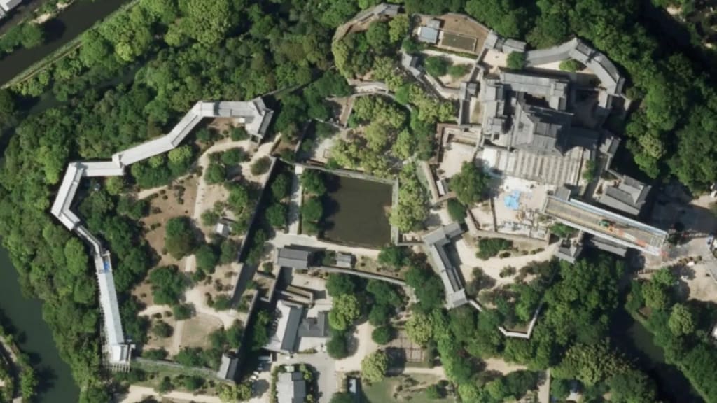
Unveiling the World from Above: Exploring Aerial Imagery Technology
The evolution of technology has continually reshaped the way we perceive and interact with the world around us.

The evolution of technology has continually reshaped the way we perceive and interact with the world around us. From the invention of the telescope to the advent of satellite imagery, our ability to view and understand our planet from new perspectives has been transformative. One such groundbreaking advancement in this realm is the development of aerial imagery technology, which has opened up new vistas of insight and knowledge.
The Rise of Aerial Imagery: A Historical Perspective
Aerial imagery, the practice of capturing images from above the Earth's surface, has roots dating back to the late 19th century. Early pioneers strapped cameras to balloons and kites to capture breathtaking views of landscapes. However, it wasn't until the invention of the airplane that aerial imagery truly took flight. The aerial reconnaissance conducted during World War I demonstrated the practical applications of this technology beyond artistic and scientific endeavors.
Technological Marvels: How Aerial Imagery Works
Today, aerial imagery technology has evolved into a sophisticated and precise method of data acquisition. Modern aerial imagery is collected using aircraft or unmanned aerial vehicles (UAVs), more commonly known as drones. These platforms are equipped with high-resolution cameras and, in some cases, LiDAR (Light Detection and Ranging) sensors, which bounce laser beams off surfaces to measure distances. This combination of sensors captures both visual imagery and elevation data, creating highly accurate 3D models of the terrain.
Applications Across Industries
The applications of aerial imagery span a wide range of industries, each benefiting from the unique insights this technology provides.
1. Urban Planning and Development: Aerial imagery plays a pivotal role in urban planning, offering planners a comprehensive view of existing infrastructure, land use, and potential development sites. This information is invaluable in making informed decisions that can shape the future of cities and ensure sustainable growth.
2. Agriculture and Precision Farming: Modern farming has been revolutionized by aerial imagery. By capturing data on crop health, soil moisture levels, and pest infestations, farmers can make timely decisions that optimize yield and reduce resource waste.
3. Environmental Monitoring: Aerial imagery contributes to environmental conservation by tracking deforestation, monitoring changes in glaciers, and assessing the impact of natural disasters. This data helps scientists and policymakers understand environmental changes and take necessary actions.
4. Infrastructure Inspection: Aerial imagery simplifies the inspection of critical infrastructure such as bridges, power lines, and pipelines. Drones equipped with cameras can access hard-to-reach areas, reducing the need for dangerous manual inspections.
5. Archaeology and Cultural Preservation: Aerial imagery aids archaeologists in uncovering hidden historical sites and gaining insights into ancient landscapes. This technology has unveiled lost cities, ancient trade routes, and other significant discoveries.
The Future of Aerial Imagery
As technology continues to advance, so too does the potential of aerial imagery. Future developments may include enhanced data analysis techniques, more sophisticated sensors, and improved automation. Real-time data streaming could enable rapid disaster response, while AI-powered algorithms might make sense of complex data sets, revolutionizing decision-making processes.
Balancing Innovation and Ethical Considerations
With great power comes great responsibility. While the benefits of aerial imagery technology are immense, ethical considerations must not be overlooked. Privacy concerns, potential misuse for surveillance, and environmental impact are all important issues that need to be addressed as this technology becomes more pervasive.
In conclusion, aerial imagery technology has transformed the way we see and understand the world. From its humble beginnings with balloons and kites to the modern drones equipped with cutting-edge sensors, aerial imagery has become an essential tool across industries. Its ability to provide unique perspectives, gather valuable data, and drive informed decision-making underscores its significance in today's rapidly evolving world. However, as we continue to unlock the potential of aerial imagery, it is imperative that we do so with a mindful approach, considering both the benefits and the ethical implications.


Comments
There are no comments for this story
Be the first to respond and start the conversation.