
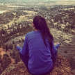
Camping and Climbing at Greyrock
"A Classic Trip up the Poudre"
Greyrock is an obscure peak for climbing, but it is one of the more well-known hikes in the Northern Colorado area. It might be obscure, but this area has over 100 routes of great granite climbing. There is everything from slab, cracks from fingers to off-width, and moderate multi-pitch routes. The trail sees a lot of traffic during nice weather, but I have yet to run into any other climbers. The effort to reach this peak is out of the question for a lot of climbers who enjoy short approaches. For many climbers, being able to camp here makes the hike in worth it.
Getting There: From Fort Collins
- Get onto Hwy 14 up into the Cache La Poudre Canyon.
- You will stay on this for 17 miles until you reach the Greyrock trailhead. There is a parking lot on the left side of the road.
- As you hike in, you’ll come to a T junction, and a sign with what trail you can take. The Meadows Trail (to the left) is a bit more moderate as far as difficulty goes, but it is quite a bit longer. This can be worth the distance if you’re hauling camp gear along with your climbing gear. If you want a more direct route though, take the trail that goes right.
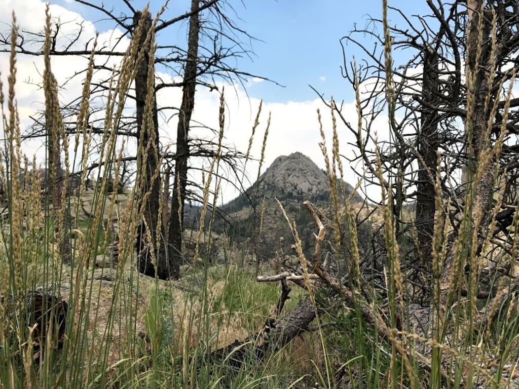
- You will see the obvious granite peak once you get into a large meadow. Both trails meet at the base of the rock. Follow the sign up to a trail that will lead you up to the summit. As you get closer to the rock face, you’ll see small climber trails that go off in different directions along the wall.
Greyrock is situated high into the canyon and suffers from the usual afternoon thunderstorms in the Summer. Come prepared for these conditions, and don’t be caught on the granite wall when a storm is directly overhead. The summit is large and forested, so you can find some coverage here if you can’t get down in time.
There is a designated trail off the summit that goes around the North. It is a relatively easy trail compared to many descents in other areas. I suggest hiking up to the summit first if you are camping here, so you can set up camp and unload some gear rather than climbing with all of it.
Camping at Greyrock:
It is okay to park your car at the Greyrock trailhead parking lot overnight without a fee. The land here is in the Roosevelt National Forest, so dispersed camping is allowed. I’ve only ever seen evidence of previous campers on the summit of Greyrock. There are spots with fire rings put together, and bundles of old firewood stashed. The summit is a fun spot to camp if you are climbing here. The bounty of trees here makes it wonderful to hammock-camp. Another popular spot for campers is at the base of a climbing area called South Slabs.
Dogs must be on a leash per usual. Fires are allowed here but must be 200 feet from any water and trail. This is dispersed camping, so there are no restroom facilities. As with any backcountry excursion, practice Leave No Trace Principles. For more information on Leave No Trace Principles, look HERE.
South Slabs
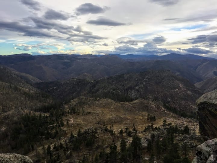
Pitch 3 of the Summit Route on South Slabs.
As you approach the summit trail that splits from the intersection of the Meadows trail, leave the trail and go straight up to the rock face. There is barely a trail here, so just follow the path of least resistance up to the slabby rock face that faces the trail you just came from. There are two tiers of slab on this wall with just over 20 routes. You can either climb up a route on the first tier to reach the second tier or scramble up around the lefthand side. Routes here range from 5.5 to 5.12, trad, and sport. In 2013, all the bolts on the South Slab wall were chopped and replaced. Not all the lines were replaced, so guidebook information is rough.
A 60-meter rope is okay for the top tier slab, but you will need a 70-meter rope to rappel off the bottom tier. A lot of the routes on the bottom tier are about 125 feet tall, so some down-climbing might still be required after a full rappel. Either pay very close attention to the ends of your rope so you can pop off safely, or down-climb the gully on the left-hand side.
The Summit Route:
If you follow the farthest righthand route up the second tier of slab, you can continue up to the main summit. The route follows an easy groove into a dihedral that goes up into a small roof. Move through the roof to the right and continue on upward. You can build an anchor shortly after this to bring your partner up. “Funkativity” is the route on the upper slab tier that is part of this summit route. It’s rated at a 5.7 and is probably the most difficult part of the whole summit route. Gear is tricky along this pitch, due to the lack of features on the groove. There are some pods and small crack openings for gear, but not much.
The terrain eases out after this pitch. Follow the path of least resistance up to the summit. You’ll have to pull some shenanigans through boulder chimneys and gullies. Since I couldn’t find that much information about the terrain up to the summit after the established route on the slab wall, my partner and I kiwi-coiled to shorten the rope between each other and simul-climbed this upper section to be on the safe side. Depending on your comfort level, this part is doable without ropes. This route is a fun little jaunt up to the summit, especially if you are camping on the summit and just spent the day climbing on the slabs.
Bring a good variety of gear up to a #3 Camalot. If you are comfortable placing passive gear, I suggest bringing more of those pieces and slings up to this area to conserve weight and room in your pack. I got away with using nothing but passive protection on this climb and got creative with some areas by slinging trees or flakes.
The Southeast Face:
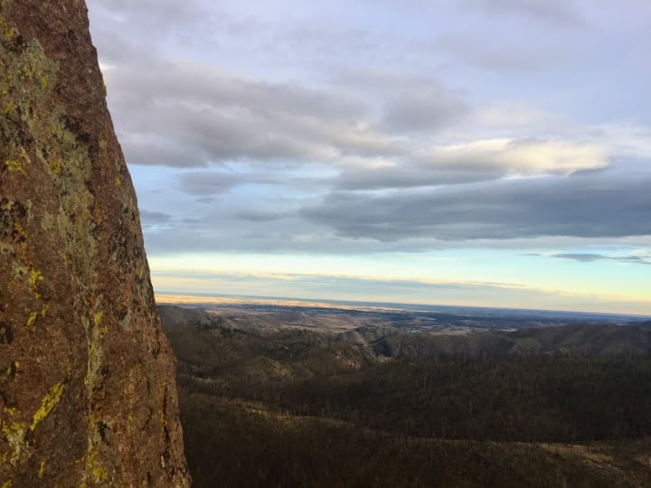
From the Summit of Greyrock.
The Southeast Face boasts several moderate multi-pitch routes. In Northern Colorado, it is very difficult to find multi-pitch anything, so these routes are highly sought out. This face has nothing but trad climbing.
To get here, follow the summit trail up to a bunch of aspen trees and a burned area. From here, go uphill until you reach the base of the rock. The rock quality is amazing, which makes climbing here that much more fun. There are no bolted anchors, but there are several trees and bushes that make rappelling a possibility for descending.
A Classic:
One of the classics on this wall is “The Greatest Route.” It is a four pitch 5.8 trad route that puts you out just below the summit of Greyrock. After reaching the Southeast Face area, hike back left/South along the wall. The path over to the route is not the easiest; filled with log hopping and boulder scrambling, but it is worth the effort. Go until you see you a flared crack that veers right.
- Pitch 1: The crux of this entire route is getting off the ground. Jam in a flared crack, then reach up into a slabby crack. Follow this and intermittent cracks up to a slab. Traverse left to a good belay stance.
- Pitch 2: Traverse back to the right and up a crack system and work your way to a small roof. You can either set up a belay before this roof, or after. Setting up your anchor above the roof is probably safer than leading the roof right above your partner.
- Pitch 3: This pitch is more 5.6 climbing and follows easy cracks up a full rope-length of slab into a dihedral.
- Pitch 4: Go up the dihedral, which feels more like 5.5 climbing, and ascend easy terrain another rope-length until you almost reach the summit of Greyrock. This pitch is pretty low angle so as you place gear, be mindful of rope drag.
A standard rack up to #3 Camalot and a good smattering of small, passive protection will be preferred. When you reach the summit, the only way to descend from here will be to hike off the summit trail.

On your hike out, I highly suggest hiking the opposite trail that you hiked in on. If you took the direct trail, take the Meadows trail back to the cars, or vise versa. Both trails are beautiful. The Meadows trail winds through the flower covered meadows beneath Greyrock. In the Summer, you’ll likely see hundreds of butterflies fluttering around the blankets of wildflowers here.
There is nothing better than a good burger and beer from the Mishawaka after this hike. The “Mish” is 5.3 more miles up the Poudre canyon. This is a very popular music venue in the Poudre Canyon, but you can eat in the restaurant during normal business hours.
About the Creator
Keep reading
More stories from Shoshannah and writers in Wander and other communities.
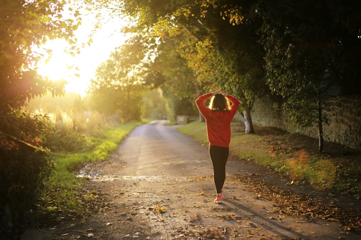
You Should Go For a Run
If you are one of those who can no longer work or go anywhere during this pandemic, there are very few things we can still do. In most states/cities, citizens are still allowed to go for walks, walk the dog, hike on local trails, and, of course, run!
By Shoshannah 4 years ago in Longevity
Capturing Magic
In the world of photography, timing is the key to everything. While skilled compositions and technical proficiency are undoubtedly crucial, the perfect lighting can create the perfect photo. Nowadays, we can determine any light ourselves and are no longer dependent on any natural light source, thanks to the developed technology. We can turn every day into a night by using the right filters. And we can illuminate every night to be seen as a day. A typical process, especially in the film industry.
By Krishan Mubashar7 days ago in Photography

Comments (1)
Interesting