
I Went Looking for Everest. I Found Something Better.
A personal journal from the trail — Solu-Khumbu, Nepal

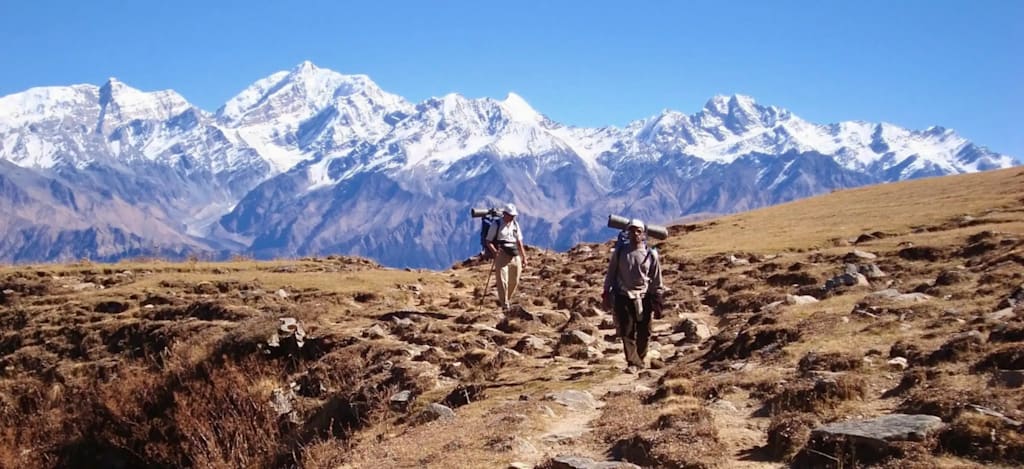
I almost didn't go. The original plan was Everest Base Camp — the classic, the bucket list, the one everyone does. I had the permit, the flights booked, the gear laid out on my bedroom floor for three weeks. Then a friend who had done EBC the previous autumn said something that stopped me: "It's incredible, but it doesn't feel like Nepal anymore. It feels like a queue."
He told me about a summit in the Solu region. Quieter, he said. Fewer people. Views just as good — maybe better, because you're not standing shoulder to shoulder with two hundred others when you see them. He sent me a link Pikey Peak Trek page, and within ten minutes I had changed my itinerary entirely.
What followed was one of the best decisions I have ever made as a traveller. This is the journal I kept along the way.
Before the trail — Kathmandu
Day 0 · Kathmandu
I landed in Kathmandu on a Tuesday evening and checked into a guesthouse in Thamel. The city hit me immediately — the smell of incense and diesel, the sound of horns and bells layered over each other, the narrow lanes overflowing with colour. I had one full day before my flight to Phaplu and I spent most of it wandering.
Boudhanath Stupa was the first stop. I walked the circumambulation path with monks and elderly Tibetan women spinning prayer wheels, prayer flags snapping overhead in the cold morning air. In the afternoon I crossed the river to Pashupatinath, where the ghats along the Bagmati were alive with ritual and smoke. By evening I was at a rooftop restaurant in Thamel, eating dal bhat and trying to process everything I had seen in a single day.
I went to bed early. The flight to Phaplu was at six in the morning.
Into the Solu highlands
Day 1 · Kathmandu → Phaplu → Salleri
The Twin Otter was tiny. Nineteen seats, propellers that shook the whole fuselage, and a flight path that took us directly through the foothills — close enough to the ridgelines that you could see individual trees on the slopes. The flight from Kathmandu to Phaplu took thirty-five minutes. It was thirty-five of the most dramatic minutes I have spent on any aircraft anywhere in the world.
Phaplu airstrip sits in a wide valley bowl surrounded by terraced hillsides. We landed, collected our bags from a trolley on the tarmac, and walked out through a wooden gate into the Solu highlands. There were four other trekkers on the flight. Within twenty minutes of landing, they had all gone in different directions and I was alone on the trail.
The walk to Salleri took about two hours through farmland and quiet village lanes. Children waved from doorways. A woman carrying a basket of vegetables twice her size passed me on a steep section of path and didn't even seem to be breathing hard. I arrived at my teahouse in Salleri in time for a late lunch of vegetable noodle soup and spent the afternoon walking around the town, which felt unhurried and entirely its own thing — not shaped around tourism at all.
That night I slept under four blankets and woke up twice to the sound of dogs barking across the valley. I didn't mind at all.
The most beautiful village in Nepal
Day 2 · Salleri → Junbesi
Everyone who has trekked in the Solu region mentions Junbesi. I thought they were exaggerating. They were not.
The trail from Salleri climbed steadily through oak and rhododendron forest before dropping into the Junbesi valley, and the moment the village came into view below — white-painted stone houses, a monastery perched on the hill above, Numbur peak framed perfectly behind everything — I actually stopped walking and just stood there for a while.
Junbesi is a Sherpa village with a long history of being exactly what it is. There are no souvenir shops on the main lane. There is a bakery run by a Tibetan family that produces apple pie from fruit grown in the orchards just above the village, and it is genuinely excellent. I ate two slices and felt no guilt about it whatsoever.
The Thubten Choling Monastery, a short walk above the village, is one of the largest active Tibetan Buddhist communities in Nepal. I arrived during the evening prayer session and sat quietly at the back of the prayer hall for an hour while the monks chanted. The sound was low and repetitive and completely absorbing. I walked back down to the village in the dark, navigating by headtorch, and slept better than I had in months.
Rhododendrons and ridge views
Day 3 · Junbesi → Ringmo → Tragsindu
Today was the day the trail started to feel genuinely alpine. The path from Junbesi climbed through apple orchards — the fruit long since harvested by October — and then into a dense band of rhododendron forest where the trail narrowed to a single-file track between the trunks.
I tried to imagine this forest in April, in full bloom. Every local I had asked about the spring season described it with the same slightly disbelieving look, as if even they couldn't quite believe it happened every year. The rhododendrons here grow to the height of mature trees, and when they flower they apparently turn the entire hillside crimson and pink from the valley floor to the treeline. I made a mental note to come back.
Ringmo is a small settlement with a handful of teahouses and a view that stopped me in my tracks for the second time on this trek. To the north, through a gap in the ridge, you could see the first serious snow peaks — Numbur dominant and white against a deep blue sky, with smaller summits clustered around it. I ate lunch sitting on a wall outside the teahouse, facing north, and did not look at my phone once.
The afternoon climb to Tragsindu Monastery was steep and my legs knew about it. But the monastery itself — ancient, wind-worn, perched on a hilltop with bells ringing in the updraft — was worth every metre of ascent. I arrived as the last light was catching the prayer flags on the roof. It felt like the kind of moment that travel exists for.
The high ridge
Day 4 · Tragsindu → Pikey Peak Base Camp
The trail above Tragsindu left the trees behind entirely and entered open alpine terrain — wide yak pastures, low scrub, exposed ridgelines with the wind coming in hard from the west. The temperature dropped noticeably with every hundred metres of altitude gain. By early afternoon I was in full down jacket, gloves on, moving at a deliberate pace and watching the clouds build to the south.
The base camp — if you can call it that, it's really just a cluster of simple stone teahouses at around 3,600 metres — was already in shadow when I arrived. Three other trekkers were there: two Swiss women who had been on the trail for ten days already, and a solo Korean photographer who had visited the summit twice before and kept returning for the light. We ate together that evening, shared a pot of butter tea, and agreed on a 4am start the following morning.
I set three alarms, put my warmest socks on before getting into my sleeping bag, and lay awake for most of the night feeling the particular mixture of anticipation and cold that high-altitude camping produces reliably in me every single time.
The moment everything opened up
Day 5 · Summit Day — Pikey Peak (4,065 m)
We left at 4:15am. The Korean photographer was already ahead of us on the trail, his headtorch a moving dot on the dark hillside above. The path was clear underfoot — rocky, steep in places, but never technical. The cold was serious. My water bottle was starting to freeze in the outer pocket of my pack by the time we reached the ridgeline below the summit.
We arrived at the top just as the eastern sky was turning from black to deep blue to the first thin line of orange above the horizon. The four of us stood in silence on the summit ridge and waited.
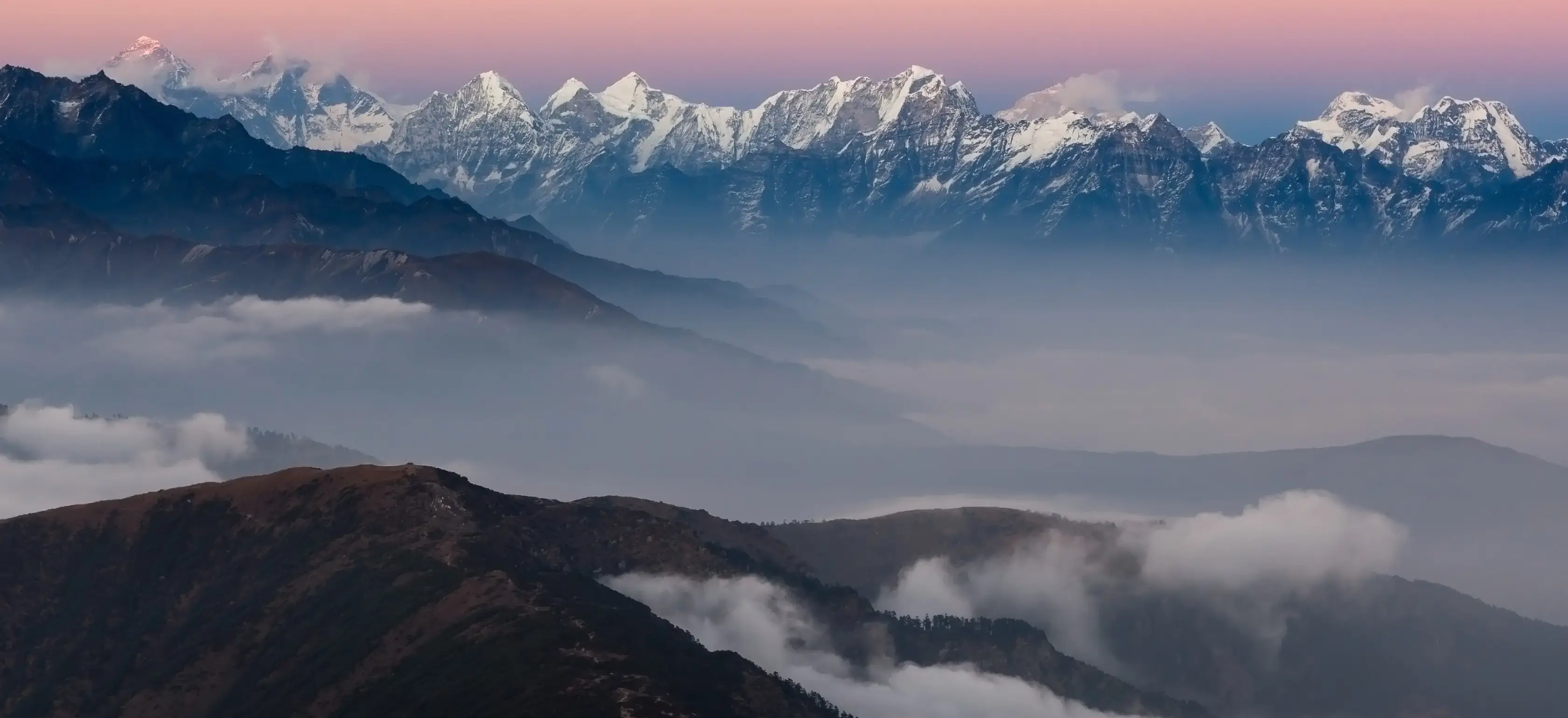
I am not going to try to describe what it looked like when the sun came up. I have been writing travel journals for eight years and I don't have the vocabulary for it. What I can tell you is that Everest was directly in front of me, lit from the left by the first light of the day, with Lhotse and Makalu beside it and Cho Oyu further west and Kanchenjunga on the far eastern horizon, and I stood there for forty minutes without moving and without speaking and I did not want to be anywhere else on the planet.
The descent back to base camp took less than two hours. I ate a full breakfast of eggs, toast, and three cups of milk tea, and felt completely content with everything.
Coming back down through a different world
Day 6 · Base Camp → Phurteng → Salleri
The return route via Phurteng offered a completely different perspective on the Solu landscape — a longer, more gradual descent through a valley I hadn't seen on the way up, passing through farmsteads and small settlements where life was going on entirely independently of the fact that there was a trekker walking through.
My knees reminded me on the steeper sections that I am not twenty-three anymore. I stopped more frequently than I would have liked, took longer breaks, and arrived in Salleri in the early evening with sore legs and a feeling of deep, uncomplicated satisfaction.
Things I noticed on the descent that I want to remember:
A group of women harvesting buckwheat in a terraced field, working in a line, singing something I couldn't identify but couldn't stop listening to.
A red panda — unmistakable, rust-coloured, moving through the undergrowth about fifteen metres off the trail — pausing to look at me for a full five seconds before disappearing into the forest.
The smell of wood smoke from a teahouse kitchen drifting across the trail at exactly the right moment when I needed to stop and eat something.
The way the light on the high ridges changes completely in the late afternoon — everything turning gold and then amber and then a deep cold grey within about forty minutes.
Back to Kathmandu
Day 7 · Phaplu → Kathmandu
The morning flight back to Kathmandu was identical to the one going out — tiny plane, loud propellers, the foothills rushing past the window at improbably close range. I had the window seat on the left side this time and spent the entire flight watching the landscape scroll beneath us, trying to spot the ridgeline where I had stood three days earlier.
I didn't find it. But I knew exactly where it was.
Back in Kathmandu I had one evening before my international flight. I went back to Boudhanath, walked the circumambulation path one more time in the opposite direction, bought a small brass prayer wheel from a shop near the stupa entrance, and ate dal bhat at the same rooftop restaurant in Thamel where I had eaten on the first night. The waiter remembered me, which felt like a good sign.
What I would tell anyone considering this trek
Go in October or November for the clearest skies. Go in April if you want the rhododendron bloom, which by all accounts is worth rearranging your entire schedule for. Bring more warm layers than you think you need — the summit morning is genuinely cold and there is nowhere to buy a better jacket above Phaplu. Carry cash. Start your summit ascent no later than 4:30am.
Talk to the people you meet in the teahouses. The Sherpa communities in the Solu region have extraordinary histories and are almost universally generous with their time if you show genuine curiosity rather than just passing through. Learn five words of Nepali before you go. "Dhanyabad" — thank you — will take you a long way.
And if you are standing in Kathmandu trying to decide between the Everest corridor and somewhere quieter — somewhere that still has the views and the culture and the mountains but without the feeling of being in a managed tourist experience — look at the Solu region seriously. Look at it before everyone else does.
The crowds will find it eventually. They always do. But right now, the trail is still mostly yours.
About the Creator
Places Nepal
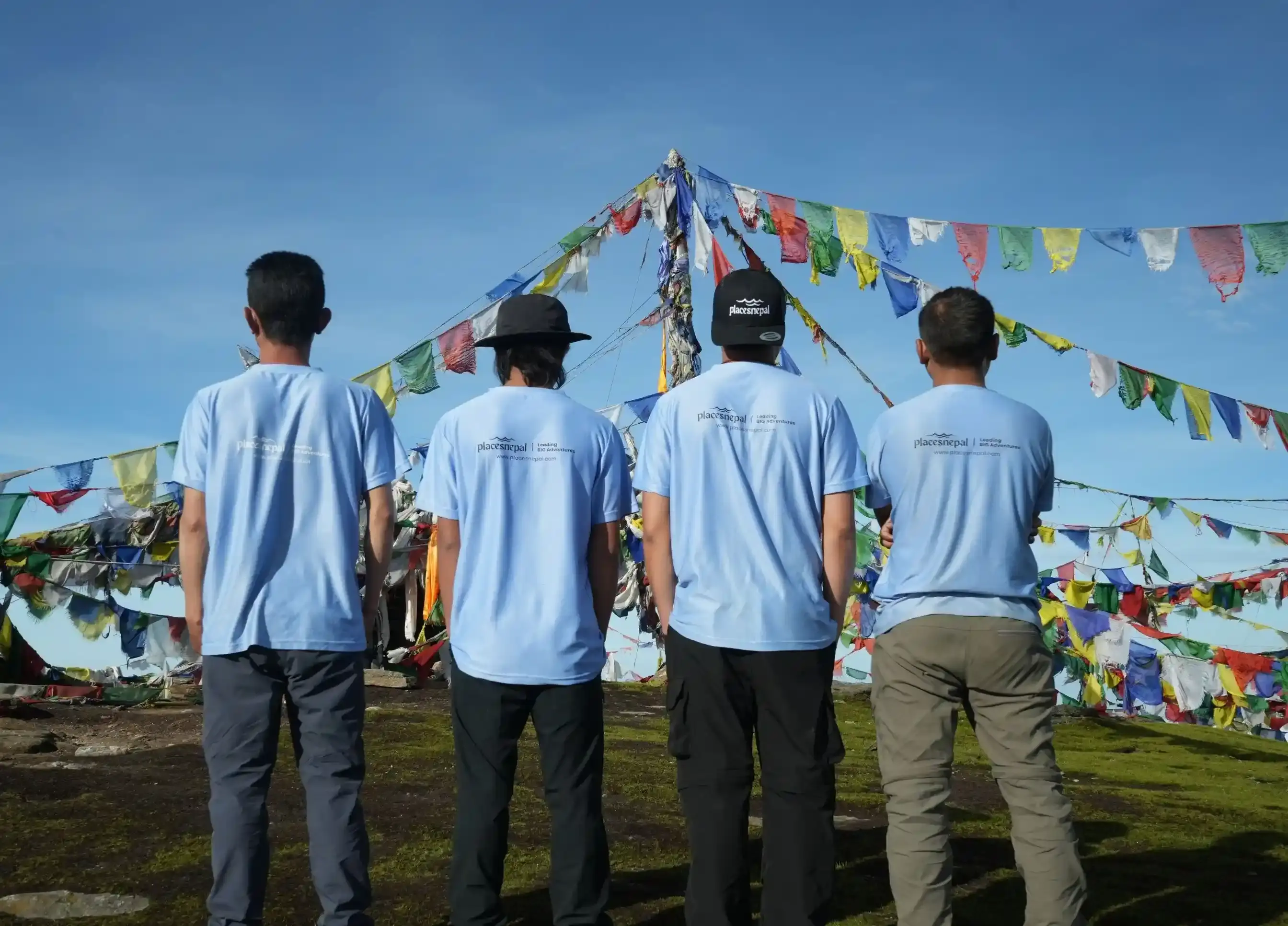
Places Nepal is the best trek company in Nepal, offering expert-led Himalayan adventures with a focus on safety, authentic experiences, and responsible tourism
Enjoyed the story? Support the Creator.
Subscribe for free to receive all their stories in your feed.
Comments
There are no comments for this story
Be the first to respond and start the conversation.