

Location: in the south-east of Central Europe, in the north of the Balkan Peninsula, on the lower Danube.
Borders: Romania's borders total 3,149.9 km. Two-thirds of these (2,064.4 km) are determined by the Danube and the Prut and Tisa rivers or follow the Black Sea shoreline, while one-third (1,085.5 km) represents the land border. Romanian territorial waters extend up to 12 nautical miles off the Black Sea.
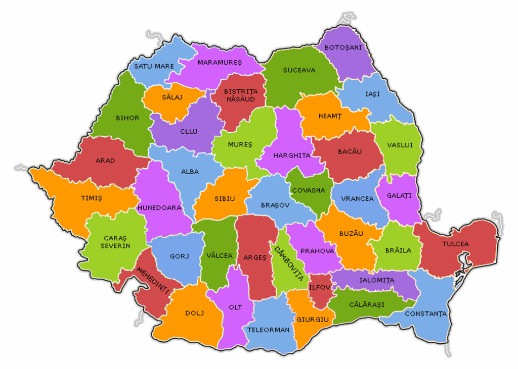
Neighbourhoods: Romania borders five states, the sixth neighbor being the Black Sea. To the NE and E it borders with the Republic of Moldova (681.3 km), to the N and E with Ukraine (649.4 km), to the SE with the Black Sea (193.5 km), to the S with Bulgaria (631.3 km ), to the SW with Serbia (546.4 km) and to the W with Hungary (448.0 km).
The area: It is 238,391 km2, comparable to that of Great Britain, which places Romania on the 80th place in the world and on the 12th place in Europe in terms of size. Romania has an oval shape, stretching 735 km from west to east and 530 km from north to south.
Surface distribution: arable land (39.2%), forests (28%), meadows and hayfields (20.5%), vineyards and orchards (2.3%), buildings, roads and highways (4.5%), waters and ponds (3.7%), other areas (1.8%).
Climate: Romania's climate is primarily determined by its position on the globe,
halfway between the Pole and the Equator, being crossed by the 45˚ parallel, as well as its geographical position on the continent, approximately 2000 km from the Atlantic Ocean, 1000 km from the Baltic Sea,
In conclusion, Romania's climate is of a temperate-continental type, with 4 seasons and is marked by the influences of the steppe climates in the east, Adriatic in the southwest, oceanic in the west and northwest, still preserving its identity as the Carpatho-Ponto- danubian. 400 km from the Adriatic Sea and bordering the Black Sea. These particularities give the climate a temperate continental character.
The relief of the country has an essential role in the delimitation of climatic zones and levels. The Carpathian Mountains form a barrier that separates the harsh continental climates in the east from the oceanic and Adriatic climates in the west.
The city of Bucharest is located in the south-east of the country, where a few hundred years ago the Codrii Vlăsiai were spread, from which today a few scattered clumps of forest are preserved. The Dâmboviţa River crosses the city, and the series of lakes in the north of the capital ensure coolness and humidity during the hot summer days. The honor that belongs to the founder of this city seems to be disputed by Bucur Ciobanul, the candidate of tradition and legend, and by the controversial Vlad Ţepes, the man of the first known document, which certifies the existence of our capital on September 20, 1459. In reality, historical and mainly archaeological research they revealed the vestiges of a fortress, probably the first, dating back to the second half of the 14th century. Then Bucharest was born and around that first fortification of 160 m.p., the Royal Court, the church of Mircea Ciobanul (1558-1559), the streets of merchants and craftsmen, in a word the political and cultural city, will be founded one by one.
Urbea developed gradually, coagulating around the old historical center the surrounding villages. Dâmboviţa was a link of the urban settlement that sought its natural dimensions, expanding especially to the north, in the lake area. The memory of the old villages is still preserved today in the memory of the people of Bucharest, to whom names such as Berceni, Floreasca, Colentina or Pantelimon are familiar as component areas of the capital.
In 1659, Bucharest definitively became the capital of Wallachia. The city is developing, there are numerous churches, large fortified inns and the first thoroughfare paved with wooden beams, the Mogoşoaiei Bridge (1692), later renamed Calea Victoriei in 1878.
In the 19th century, the city modernized, being chosen as the capital of Romania, accomplished by the union of Moldova with Wallachia in 1862. At that time, it was considered the largest city in South-Eastern Europe after Istanbul. Pavements appear, first of wood, then of granite from Scotland and Sicily, lighting, sewerage and public parks. Towards the end of the century, the two axes, north-south and east-west, that structure the city are drawn. Moreover, the reign of Charles I (1866-1914)
About the Creator
An extremely lovely name in our set of experiences is Abdullah container Zaid,
You will understand it, in the event that it doesn't come, say it! An extremely lovely name in our set of experiences is Abdullah container Zaid, may God favor him and award him harmony. He didn't wed for his entire life, his childhood passed and advanced age came. Which implied:
By Muhammad Tariq3 days ago in Education
Reaching Out
I promise her. I'd do anything for her. She's my mom. Even as Lanie and Deanna are flying home, Mom is scrappy fighting dying. She lays too still in that too-big bed with all the toasty white hospital blankets, in the south tower, at the broad end of a long slow-turning corner that delivers me again to her private room with the view she can't see through, with the beeping that tells us nothing new, and all these ice chips she can't swallow, and a flood of well-intentioned nurses who cannot do a damned thing all the same.
By Christy Munson4 days ago in Fiction


Comments
There are no comments for this story
Be the first to respond and start the conversation.