
How Animated Maps Can Make Educational Content More Engaging
This map animation tool gives teachers, creators, and storytellers a simple way to turn geography into motion.

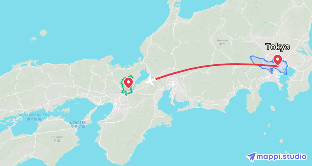
Some lessons are easier to understand when you can see them move.
Think about the difference between telling students that the Silk Road connected East Asia, Central Asia, the Middle East, and Europe, versus showing a route travel across the map. Or explaining a migration pattern, a famous expedition, a trade route, a road trip through national parks, or the spread of an idea from one city to another. Static maps are useful, but animated maps can add something powerful: sequence.
That is where tools like Mappi become interesting for educational creators.
Mappi is an online map animation tool that lets users create animated flying routes, driving routes, walking paths, and other map-based visuals. It can also highlight cities, countries, states, and places, which makes it useful for more than just travel videos. While animated maps are often associated with YouTube travel channels or social media reels, they can also be a practical tool for teachers, tutors, documentary creators, students, and anyone building educational content.
The reason is simple: geography is connected to almost everything.
A history lesson becomes clearer when learners can follow the path of an army, an explorer, or a cultural movement. A literature lesson becomes more vivid when readers can trace the locations in a novel. A civics or current events video becomes easier to follow when viewers can see where countries, borders, capitals, and regions are located. Even science lessons can benefit from animated maps, especially when explaining ecosystems, climate zones, animal migration, ocean routes, or the movement of natural events.
One of the biggest challenges in educational content is holding attention without oversimplifying the subject. A well-designed map animation can help solve that problem. Instead of placing a viewer in front of a wall of text, a creator can guide them visually from one point to another. The map becomes a timeline, a route, and a storytelling device all at once.
For example, imagine creating a short video about the Lewis and Clark Expedition. Instead of simply listing dates and locations, an educator could animate the route across the United States, pause at key locations, and highlight the regions involved. A geography teacher could use Mappi to compare major river systems. A language teacher could show where Spanish, French, Arabic, Mandarin, or Swahili are spoken around the world. A student making a class presentation could use an animated route to explain where a historical event began, how it spread, and why location mattered.
Mappi also fits the way modern learners consume information. Many students are used to visual platforms like TikTok, Instagram Reels, and YouTube Shorts. That does not mean educational content needs to become shallow. It means educators can borrow the visual language of those platforms to make serious subjects easier to enter. A short animated map can introduce a topic quickly, while the explanation, narration, or lesson adds depth.
Another advantage is accessibility for non-designers. In the past, creating polished animated maps often required advanced video editing software, motion graphics skills, or time-consuming keyframe work. A browser-based tool lowers that barrier. For independent educators, small creators, homeschool parents, or students, that matters. The easier it is to make a visual, the more likely it is that the visual will actually be used.
Of course, map animations should not replace research, context, or careful teaching. A beautiful route line is not the same as a complete explanation. Maps can also oversimplify complicated subjects if they are used carelessly. But when paired with accurate information and thoughtful narration, they can make educational material more memorable.
The best educational visuals do not just decorate a lesson. They clarify it.
That is the real value of a tool like Mappi. It helps creators show movement, distance, connection, and place. It can turn “this happened somewhere” into “this happened here, then here, and then here.” For learners, that small shift can make a big difference.
Whether you are making a history explainer, a geography lesson, a documentary-style video, a classroom presentation, or a social media post that teaches something in under a minute, animated maps can help vhhiewers understand the world in motion.
And in education, motion often makes meaning easier to remember.
About the Creator
Enjoyed the story? Support the Creator.
Subscribe for free to receive all their stories in your feed.
Comments
There are no comments for this story
Be the first to respond and start the conversation.