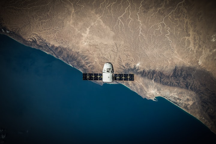
In a groundbreaking convergence of astrophysics and agriculture, Jim Geach, a University of Hertfordshire astrophysicist, realized the potential of using Earth observation satellites to track vegetation growth on our planet. Inspired by his expertise in studying celestial objects using telescopes, Geach co-founded Aspia Space, a startup dedicated to helping farmers make the most of their land using satellite data. Their revolutionary technology, ClearSky, offers precise measurements of crop growth, enabling farmers to optimize food production without laborious manual monitoring.
Aspia Space, founded in 2021 in Cornwall, UK, is spearheading the use of cloud-penetrating radar imagery from the European Space Agency's Sentinel-1 satellites. These satellites bounce radio waves and microwaves off the Earth's surface and detect their echoes, providing a clear picture regardless of cloud cover. The resolution is enhanced through synthetic aperture radar (SAR), which generates high-resolution images simulating a longer antenna's effect.
Traditionally, Earth observation satellites relied on optical images, which were frequently obstructed by clouds, smoke, and air pollution, causing major data gaps. Aspia's radar-based approach bypasses these challenges, enabling precise and continuous monitoring.
By converting radar data into optical images through the ClearSky algorithm, Aspia can analyze and infer critical information about crops, pastures, and natural resources. The technology has proven particularly beneficial for farmers and ranchers in rural areas and the global south, where large croplands require efficient management.
Aspia's collaboration with agritech company Origin Digital in Northern Ireland, mapping average grass height and growth rates, is a testament to their data's potential. Each pixel on their map represents a 10-meter square on Earth, providing farmers with insights into their fields' well-being and identifying areas that may require special attention. This information helps optimize harvesting plans and assists ranchers in planning cattle movements efficiently.
The accuracy of ClearSky stems from its training and calibration using "ground truth" data collected by Origin Digital. Real grass heights measured using a "rising plate meter" were converted into kilograms of dry matter per hectare. ClearSky utilizes this data to provide actionable insights where direct measurements are not available. The goal is to go beyond current capabilities and offer forecasts of future vegetation growth. Anticipating which crops will ripen soon or identifying those struggling from water stress will revolutionize crop management.
While Aspia Space focuses on analyzing data from space agency orbiters, other commercial space companies have their own satellites that provide radar data for various applications. Companies like Capella Space, Umbra Space, and Finnish Iceye have adopted SAR technology and use their radar data to offer valuable insights to different industries.
A similar transformation is underway in the United States, where Descartes Labs, a startup founded in 2014, is leveraging satellite imaging data and machine learning algorithms to predict crop yields, starting with corn. Using spectral information like infrared to measure chlorophyll levels, Descartes can accurately assess crop health, out-predicting traditional methods used by organizations like the USDA.
By analyzing satellite data from every single farm in the US on a daily basis, Descartes provides frequent updates to its corn yield predictions. The USDA, in contrast, updates its forecasts only once a month. Moreover, Descartes delivers predictions at the county level, whereas the USDA provides this information only at the end of the season. This level of granularity empowers farmers with localized insights into their crops, proving invaluable in managing the complexities of agriculture.
The marriage of satellite technology and advanced machine learning is transforming the way we understand and manage our planet's resources. As Aspia Space and Descartes Labs continue to evolve their technologies and expand their services to cover more crops, regions, and natural resource monitoring, their contributions to agriculture and resource management are set to revolutionize the industry. With better satellites, improved access to data, and more powerful algorithms, the future holds promising potential for optimizing food production and understanding the intricate dynamics of our planet.
About the Creator
Akhilesh
Hi, I'm Akhilesh.


Comments
There are no comments for this story
Be the first to respond and start the conversation.