
How Are Scientists Using Space Data to Monitor and Predict Earth’s Climate Changes?
Created by Sazim Hossain
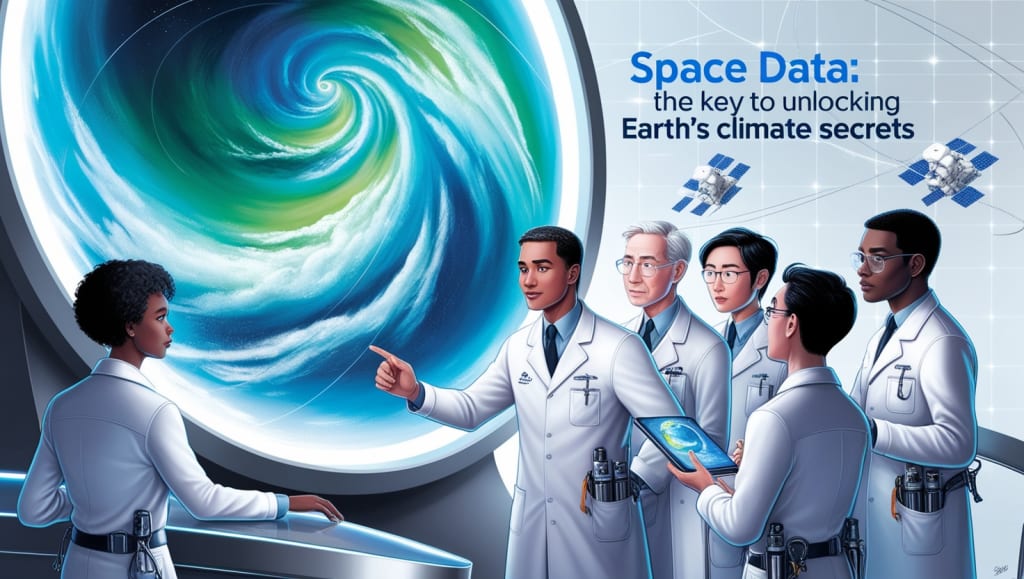
In recent years, the impact of climate change has become increasingly evident, from rising global temperatures to more frequent and severe weather events. Understanding and addressing these changes requires not only local observations but also a global perspective. This is where space data comes into play. Satellites orbiting Earth provide scientists with invaluable information about our planet’s climate, offering insights that are impossible to gain from the ground alone. But how exactly are scientists using this data to monitor and predict climate changes? Let’s explore the cutting-edge ways in which space technology is helping to safeguard our planet’s future.
The Role of Satellites in Climate Science
Satellites have revolutionized the way scientists study Earth's climate. From high above the atmosphere, these space-based observatories offer a bird's-eye view of our planet, capturing data on a wide range of environmental factors. For example, they monitor changes in sea level, ice cover, atmospheric composition, and even the health of forests. This information is crucial for understanding the complex interactions between different components of the Earth’s system and how they contribute to climate change.
One of the most significant contributions of satellites is their ability to measure the concentration of greenhouse gases, such as carbon dioxide (CO2) and methane (CH4), in the atmosphere. The European Space Agency's (ESA) Sentinel-5P satellite, for instance, is equipped with instruments that can detect even small variations in these gases. By analyzing this data, scientists can identify the sources of emissions, track their movement across the globe, and assess their impact on the climate.
Predicting Climate Change with Space Data
In addition to monitoring current conditions, space data plays a crucial role in predicting future climate scenarios. Climate models, which are computer simulations that project how the climate might change over time, rely heavily on satellite data to ensure their accuracy. By incorporating real-time observations from space, these models can provide more reliable predictions about the potential impacts of climate change.
A powerful example of this is NASA's Climate Absolute Radiance and Refractivity Observatory (CLARREO) mission, which is designed to improve the accuracy of climate models by providing highly precise measurements of Earth's radiation budget. This data helps scientists understand how much energy is entering and leaving the Earth's system, which is a key factor in predicting future temperature changes. With more accurate models, policymakers can make better-informed decisions about how to mitigate and adapt to climate change.
Real-Life Applications: Tracking Ice Loss in the Polar Regions
One of the most dramatic examples of climate change is the rapid melting of ice in the polar regions. Satellite missions such as NASA’s Ice, Cloud, and land Elevation Satellite-2 (ICESat-2) have been instrumental in tracking these changes. ICESat-2 uses advanced laser technology to measure the elevation of ice sheets and glaciers with incredible precision. By comparing data over time, scientists can determine the rate at which ice is being lost and how this is contributing to rising sea levels.
The data from ICESat-2 has revealed alarming trends. For example, the Greenland ice sheet is losing ice at an accelerating rate, with recent studies showing that it’s shedding around 250 billion tons of ice per year. This contributes to global sea level rise, which threatens coastal communities around the world. By providing a clear picture of how the polar regions are changing, space data is helping scientists to better understand the implications of ice loss and the urgent need for climate action.
Monitoring Extreme Weather Events
As the climate changes, extreme weather events such as hurricanes, floods, and droughts are becoming more frequent and intense. Satellites play a critical role in monitoring these events and providing early warnings. The National Oceanic and Atmospheric Administration (NOAA) operates a fleet of weather satellites that track the formation and movement of storms in real-time. This data is used to predict the path of hurricanes, allowing authorities to issue timely evacuations and save lives.
Furthermore, space data is helping scientists understand the relationship between climate change and extreme weather. For instance, research using satellite observations has shown that warmer ocean temperatures are contributing to the intensification of hurricanes. By studying these trends, scientists can better predict future weather patterns and prepare for the impacts of climate change.
The Future of Space-Based Climate Monitoring
The use of space data to monitor and predict climate change is constantly evolving. New satellite missions are being developed to provide even more detailed and accurate information. For example, the upcoming ESA EarthCARE mission will focus on understanding the role of clouds and aerosols in climate change, which are currently some of the largest sources of uncertainty in climate models.
In addition, the growing availability of data from private companies and international collaborations is expanding the capabilities of climate monitoring. For instance, the collaboration between NASA and SpaceX on the Sentinel-6 Michael Freilich satellite, which measures sea level rise with unprecedented accuracy, highlights the potential for public-private partnerships in advancing climate science.
Conclusion: A Global Perspective for a Global Challenge
Climate change is a global challenge that requires a global perspective. By leveraging the power of space data, scientists are gaining a deeper understanding of the Earth’s climate and improving their ability to predict future changes. This knowledge is essential for developing effective strategies to mitigate the impacts of climate change and protect our planet for future generations.
The story of space-based climate monitoring is one of innovation, collaboration, and hope. As we continue to push the boundaries of what is possible with satellite technology, we are not only advancing our scientific understanding but also taking crucial steps toward a more sustainable future. The data from space is more than just numbers and images; it is the key to unlocking solutions to one of the most pressing challenges of our time.
About the Creator
Enjoyed the story? Support the Creator.
Subscribe for free to receive all their stories in your feed.
Comments
There are no comments for this story
Be the first to respond and start the conversation.