
NathiaGali Top Picknic Destinations
The beauty of the Nathia Galli

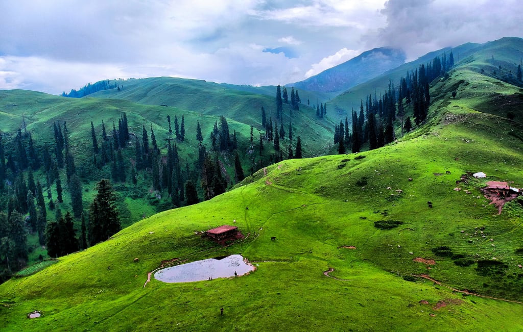
About Nathia Gali
Nathia Gali or Nathiagali (Urdu: نتھیا گلی) is a hill station and mountain resort town located in the Abbottabad District of Khyber Pakhtunkhwa, Pakistan. It is located at the centre of the Galyat range, where several hill stations are situated. Nathia Gali is known for its scenic beauty, hiking tracks and pleasant weather, which is much cooler than the rest of the Galyat range due to it being at a higher altitude. It is situated approximately 32 kilometres (20 mi) away from both Murree and Abbottabad.
About IVY TOURS
Established in 2008, IVY TOURS has been providing service in Pakistan. Our competitive rates and utmost care for our customers has helped us gain their trust, allowing us to expand our clientele list to serve governmental and private companies throughout the globe.
IVY TOURS possesses extensive local knowledge with their expertise and resources, offer professional vehicle service within Pakistan, specializing in the design and implementation of program for Tour Operators, Travel Agents and Corporate Travel Supplier.With our excellent reputation, we can ensure quality services to meet the requirements of our customers within a highly competitive market.
The beauty of the Nathia Galli
Due to its greater altitude and beautiful scenery, Nathia Gali is well renowned for its hiking trails, which are much cooler than those found in the remainder of the Galyat range. A well-known tourist attraction is Nathia Gali's Namli Mara WaterFall. Hikers who are interested in environment and wildlife in general will find Nathia Gali's stunning terrain to be a paradise from May to August. Nevertheless, it is well known for a charming road that travels through Dagri Naka and leads to Thandiani. The surroundings are breathtakingly beautiful. It is renowned for its dense oak forests, verdant meadows, pine trees, and cedar trees, where the glory of the fog in July and August may be seen. Snowfall throughout the winter, however, enhances the beauty of the Nathia Galli.
Mirajani Trek
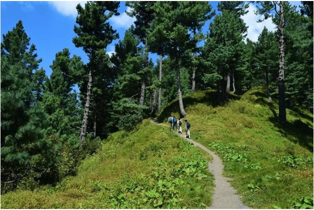
Miranjani, also spelled as Meranjani, is the highest hill in the Galiyat region. The mountain peak is approximately 9,816 feet above sea level.
One of the most popular things for tourists to do in the area is to trek to Miranjani Top. If you know how to hike, it will take you about an hour and a half to get to the top. But for people who have never hiked before, the hike can take three hours or more. Near the historic Governor House in Nathia Gali is where the trail to Miranjani Top begins. Soon, though, the path splits in two. One way leads to the top of the mountain in a half-circle, while the other goes up to the charming village of Namli Maira. At an angle of 60 to 65 degrees, the second trail is pretty steep. It goes in a spiral toward Miranjani Top and can be hard for kids and people with health problems. Once you get to Miranjani Top, you can see the snow-covered peaks of Nanga Parbat, which is one of the tallest peaks in the world.
Namlimara Waterfall Nathia Gali
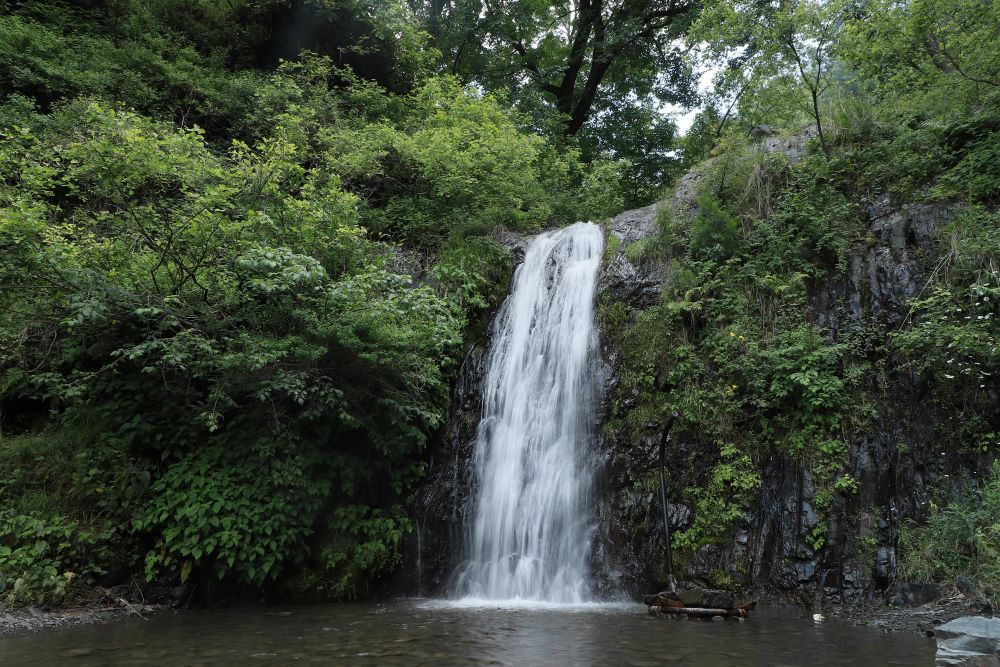
Due to its greater altitude and beautiful scenery, Nathia Gali is well renowned for its hiking trails, which are much cooler than those found in the remainder of the Galyat range. A well-known tourist attraction is Nathia Gali’s Namli Mara WaterFall. Hikers who are interested in environment and wildlife in general will find Nathia Gali’s stunning terrain to be a paradise from May to August. Nevertheless, it is well known for a charming road that travels through Dagri Naka and leads to Thandiani.
Mushkpuri Top Nathia Gali
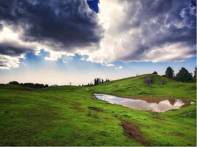
Mukeshpuri is a 2,800-metre-high mountain in the Nathia Gali Hills, in the Abbottabad District of the Khyber Pakhtunkhwa province in northern Pakistan.
Mukeshpuri is a 2,800-metre-high mountain in the Nathia Gali Hills, in the Abbottabad District of the Khyber Pakhtunkhwa province in northern Pakistan. It is 90 kilometres north of Islamabad, just above Dunga Gali in the Nathia Gali area of Ayubia National Park. It is the second highest peak in the Galyat Region after Miranjani which is located at 2,992 metres. Much of the mountain is covered with Western Himalayan subalpine conifer forests.
About the Creator
Enjoyed the story? Support the Creator.
Subscribe for free to receive all their stories in your feed.
Comments
There are no comments for this story
Be the first to respond and start the conversation.